Vancouver to Tijuana

Pacific Coast Tour: Day 4

Day 4: Aberdeen, WA to Astoria, OR


Approximate daily mileage ~ 77 miles

Approximate total mileage ~ 348 miles

Approximate daily elevation gain ~ 2600 feet

Approximate total elevation gain ~ 9200 feet

After the deepest and most sound sleep of my life the alarm sounded at 6:27 AM. In attempt at being a gracious Couchsurfing guest I was on the road shortly after saying goodbye to everyone who was also up at that time on a Saturday morning. Breakfast consisted of a king size salted nut roll – one of my favorite convenience store sources of calories other than Clif bars. The morning started with dry gear (not clean, but dry) for the first time since leaving Vancouver. As the trip continued I gained more and more appreciation for little things like dry gear and comfortable places to sleep.

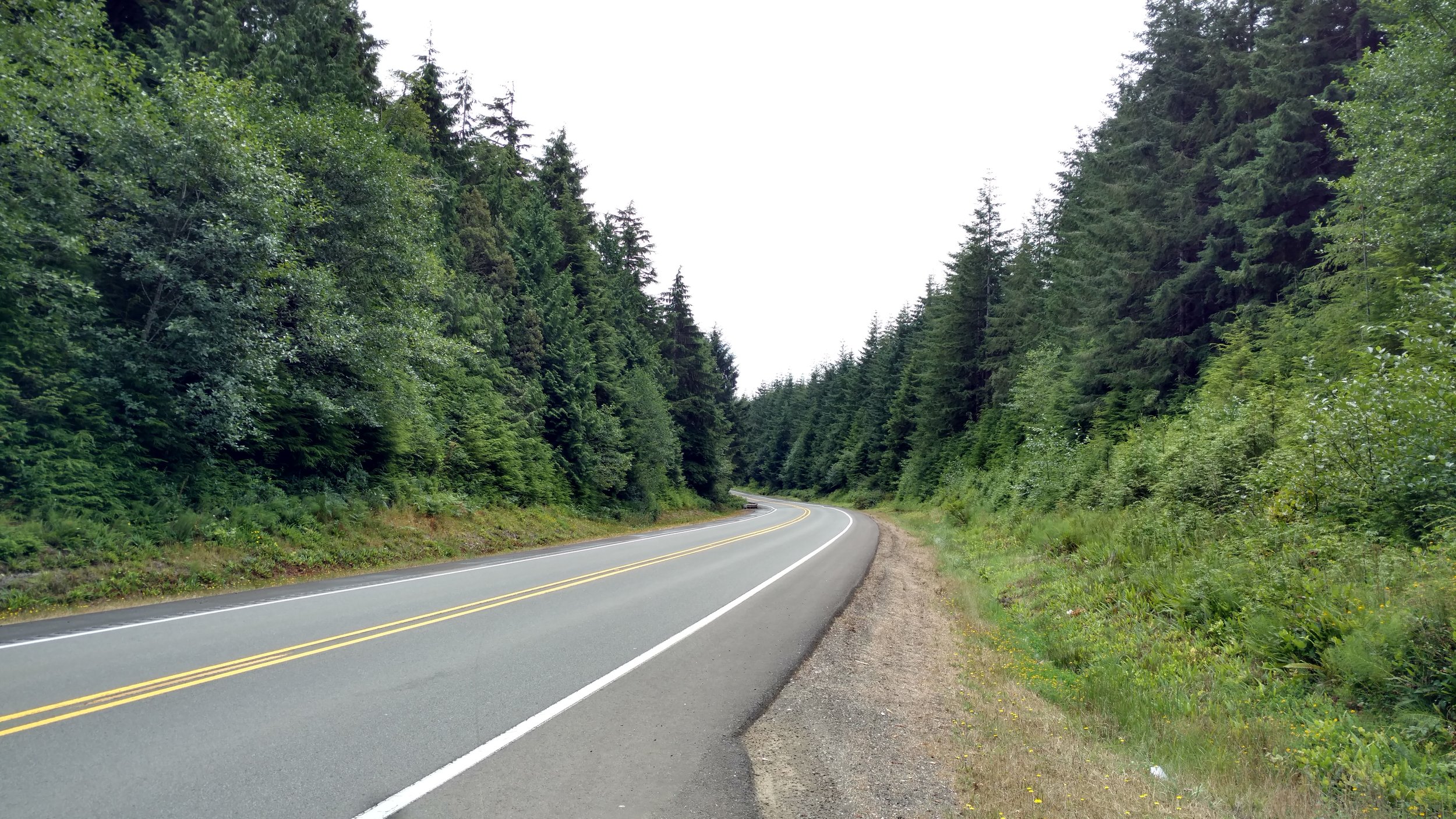
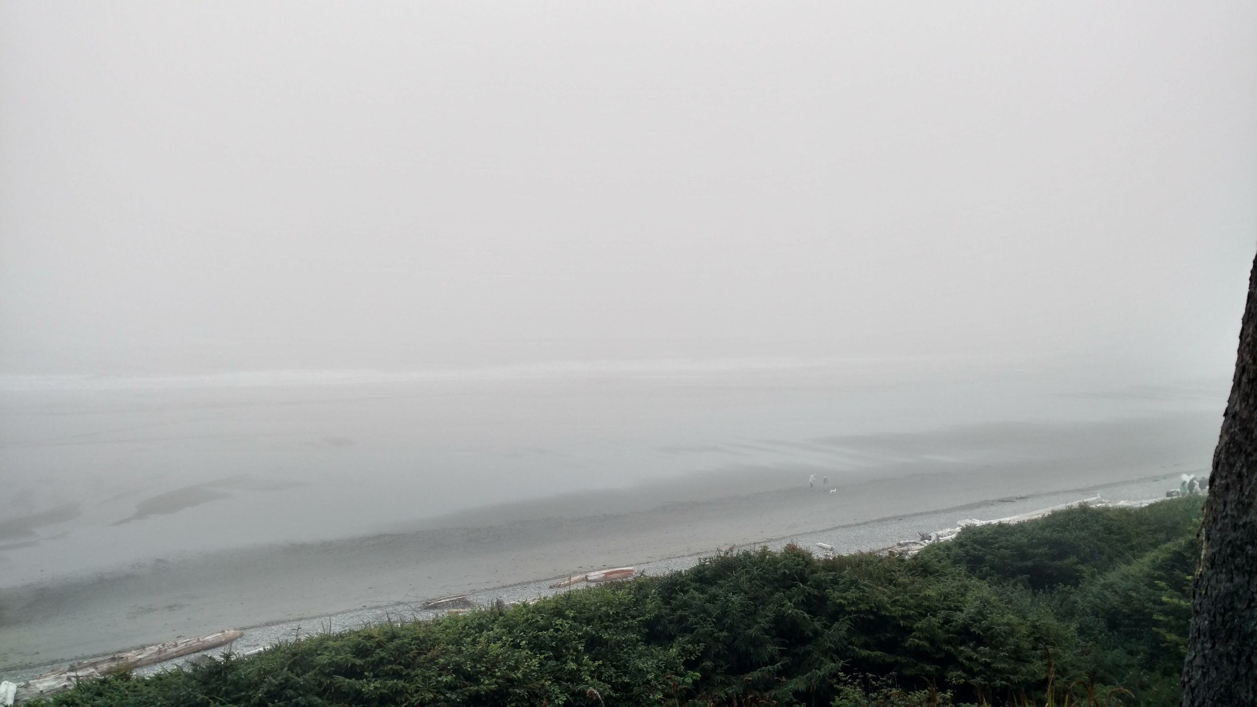
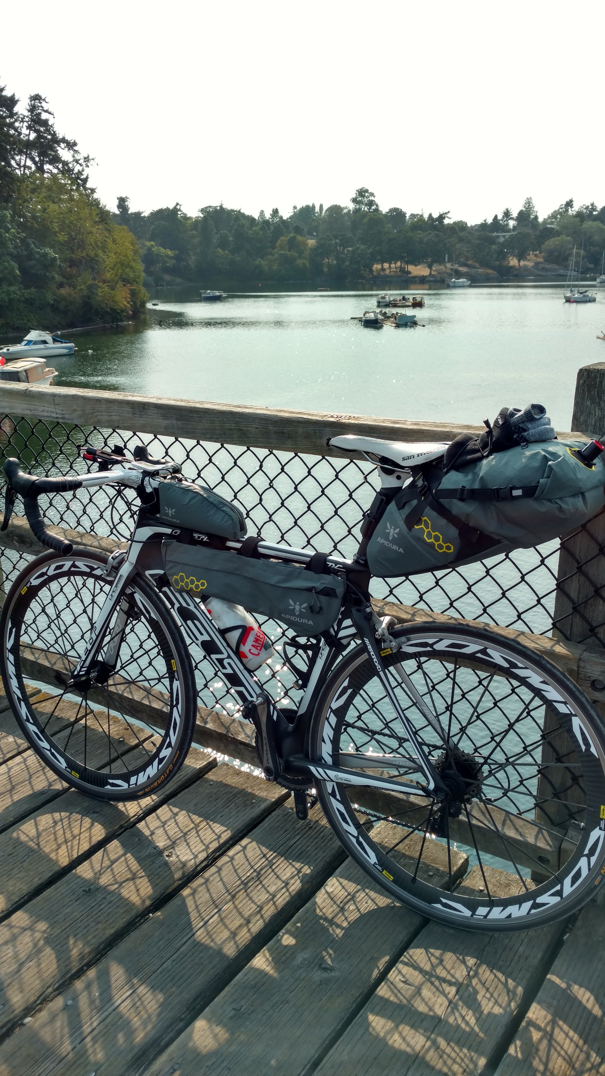
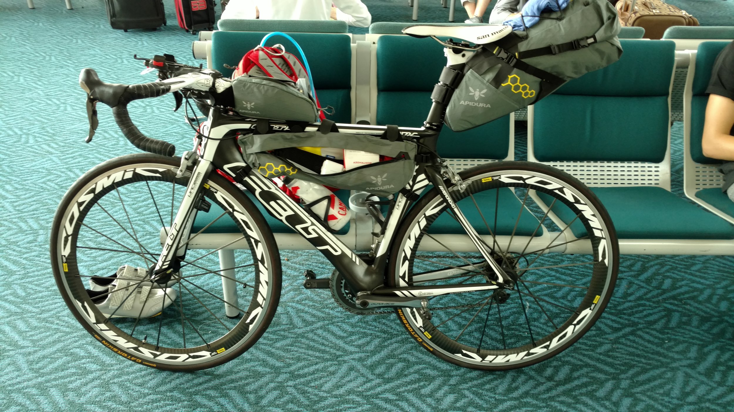
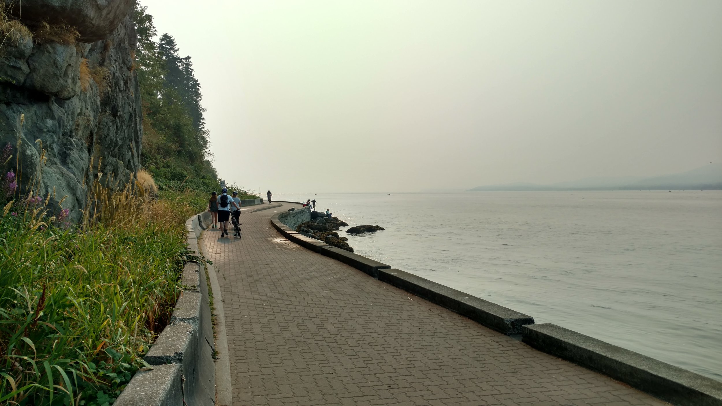
The dry gear didn’t last long as there was heavy fog and sprinkling rain that quickly saturated everything. Despite the rain I was feeling fantastic with very little traffic and well recuperated legs. The first 15 miles went by in almost an instant. I encountered one other cyclist also riding a road bike sporting a backpack similar to my set-up. This was uncommon as most people riding long distances have a significantly different bike set-up specifically for touring and hauling the usual required gear in panniers. (More on the bike set up in a later post) I said “hello” as I passed and we exchanged a smile and a head nod. Less than 10 miles later while pedaling up a hill it suddenly became much more difficult. After a glance at my rear tire it was clear I had my first flat. After stopping near the top of the hill for some investigation there was an obvious laceration in the tire. After a few minutes the man I previously passed came up and stopped to ask if I was okay. He saw what was going on and insisted I must replace the tube. We talked some more and he said he was riding from Alaska to Panama! He said that it was his 21st day on the road. This was incredible and provided inspiration for the remainder of the trip. He said his name was Gou and he snapped a photo of me before taking off and saying, “Catch me…you ride much faster!” The truth was I wasn’t riding anywhere until this tube was fixed.

Now, before starting the trip I had put Stans sealant in the tubes in hopes of stopping any such punctures and a lot of the sealant had sprayed out in the process of the flat. Stans is great stuff for helping these situations, and I had faith in it. So I used one of my few CO2 cartridges to re-inflate the tire hoping there was enough sealant to fill in the defect. Sure enough, the cartridge filled it and it seemed to hold pressure. It was a large gash toward the sidewall of the tire so for some added reassurance I used super glue and gorilla tape to try to reinforce the gash. After some delay I was back on the wet road. The next town about 5-10 miles down was called Raymond where I stopped at a McDonald’s for a couple quick breakfast sandwiches, coffee, and to warm up. Thorough inspection of the tire showed it was holding air and by this time the rain seemed to stop with moderate temps in the 50s and clouds remaining.

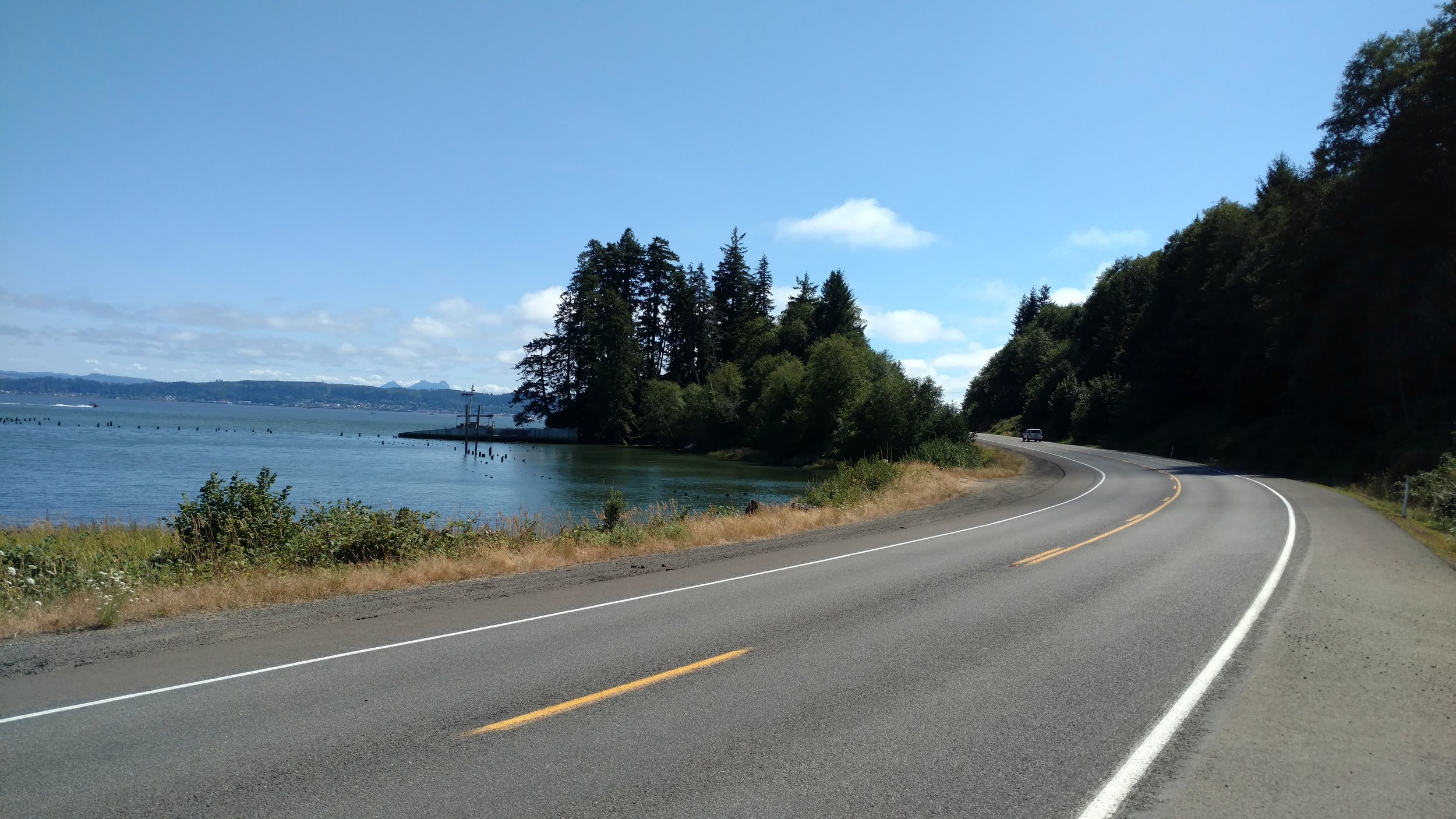
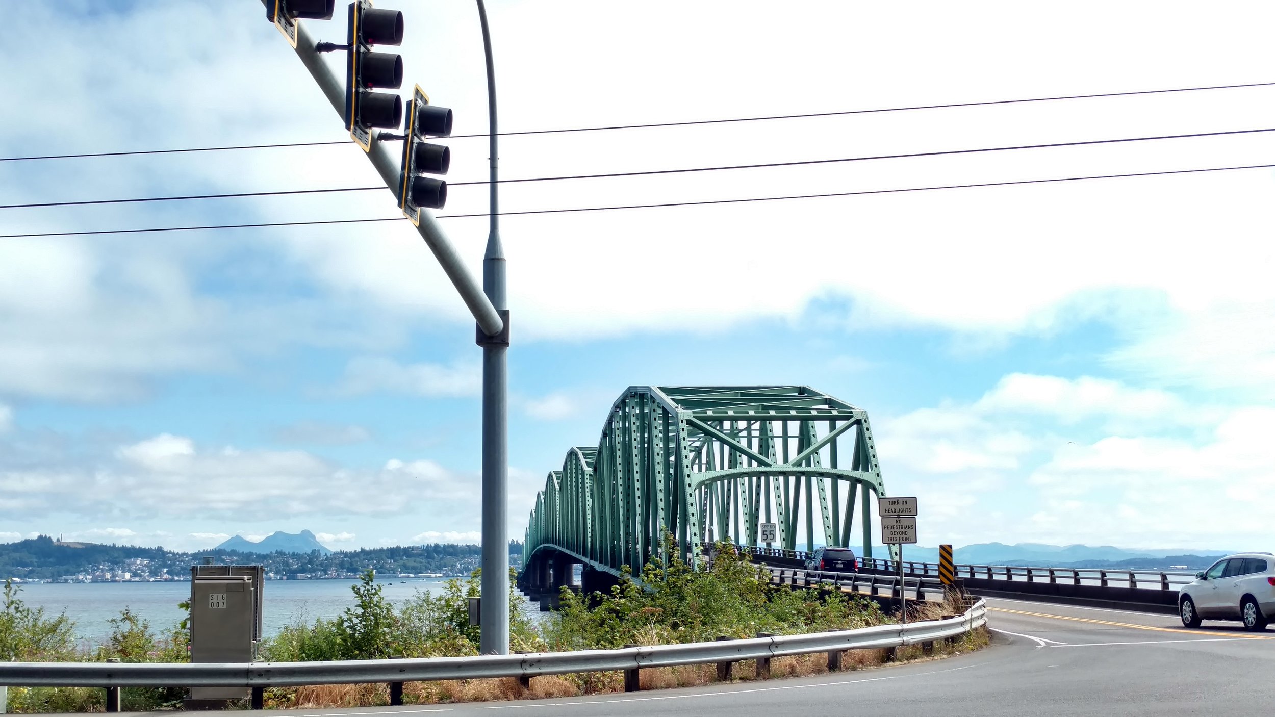
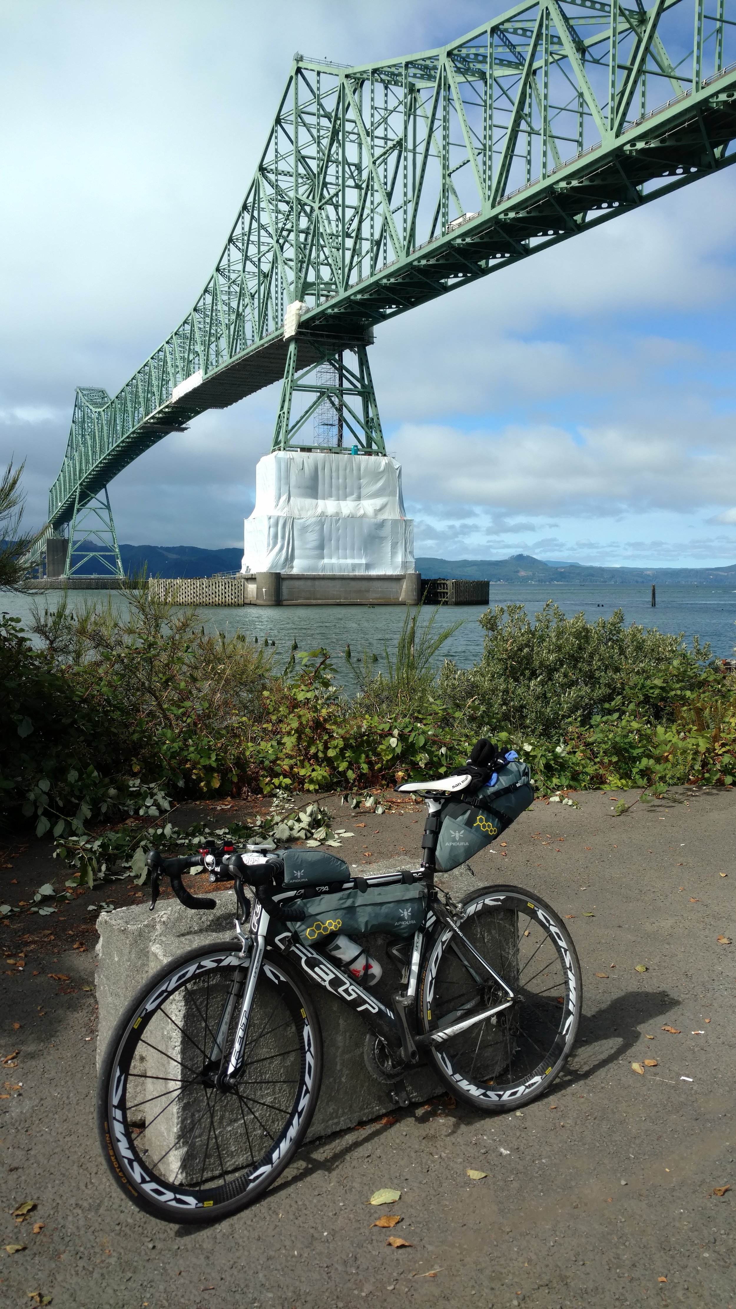
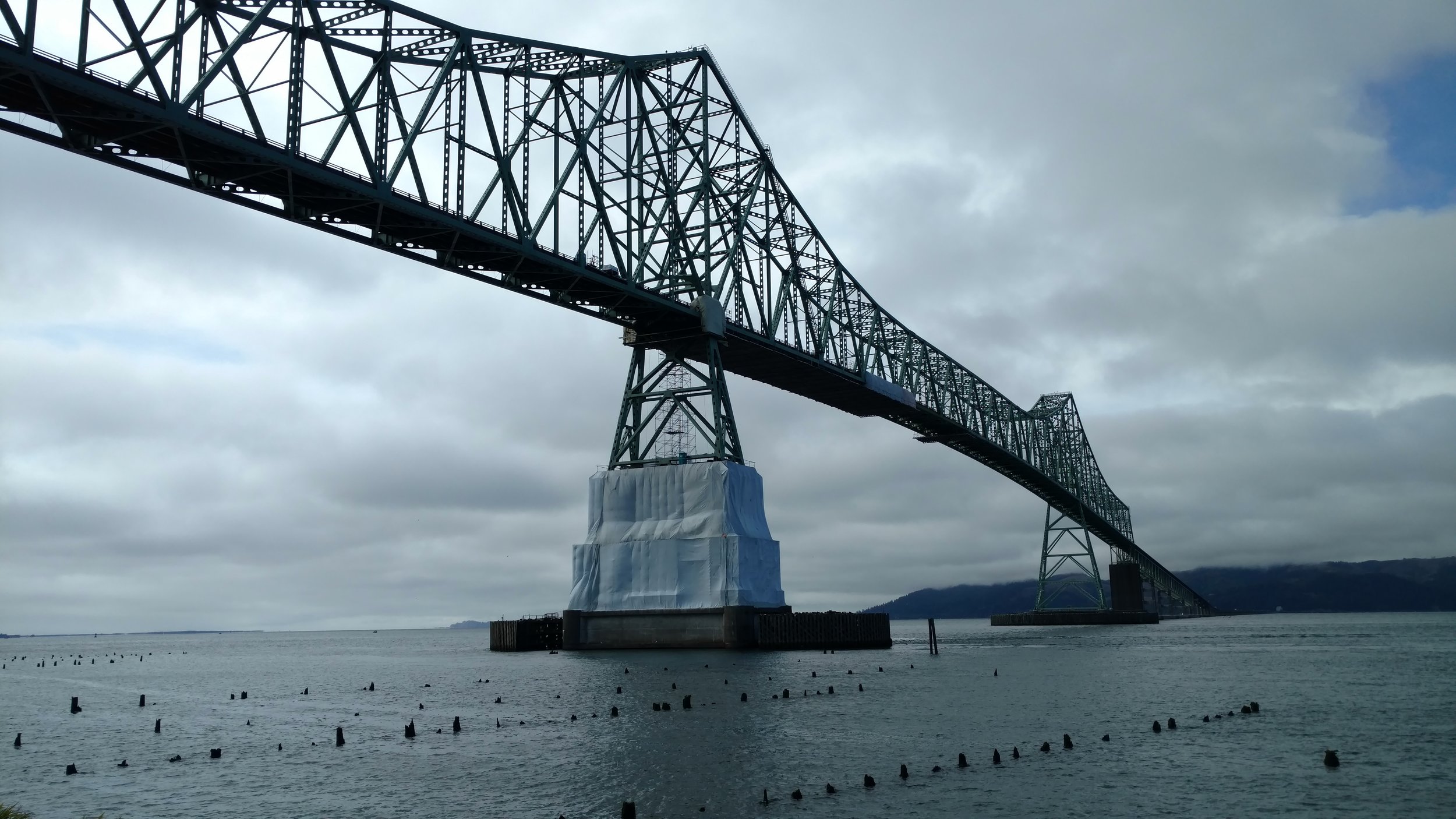
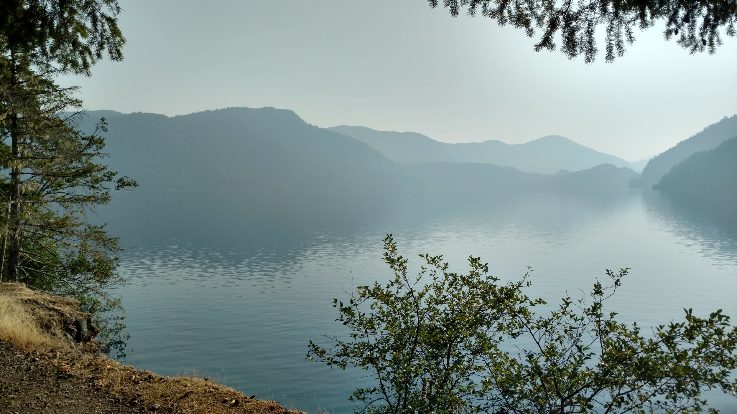
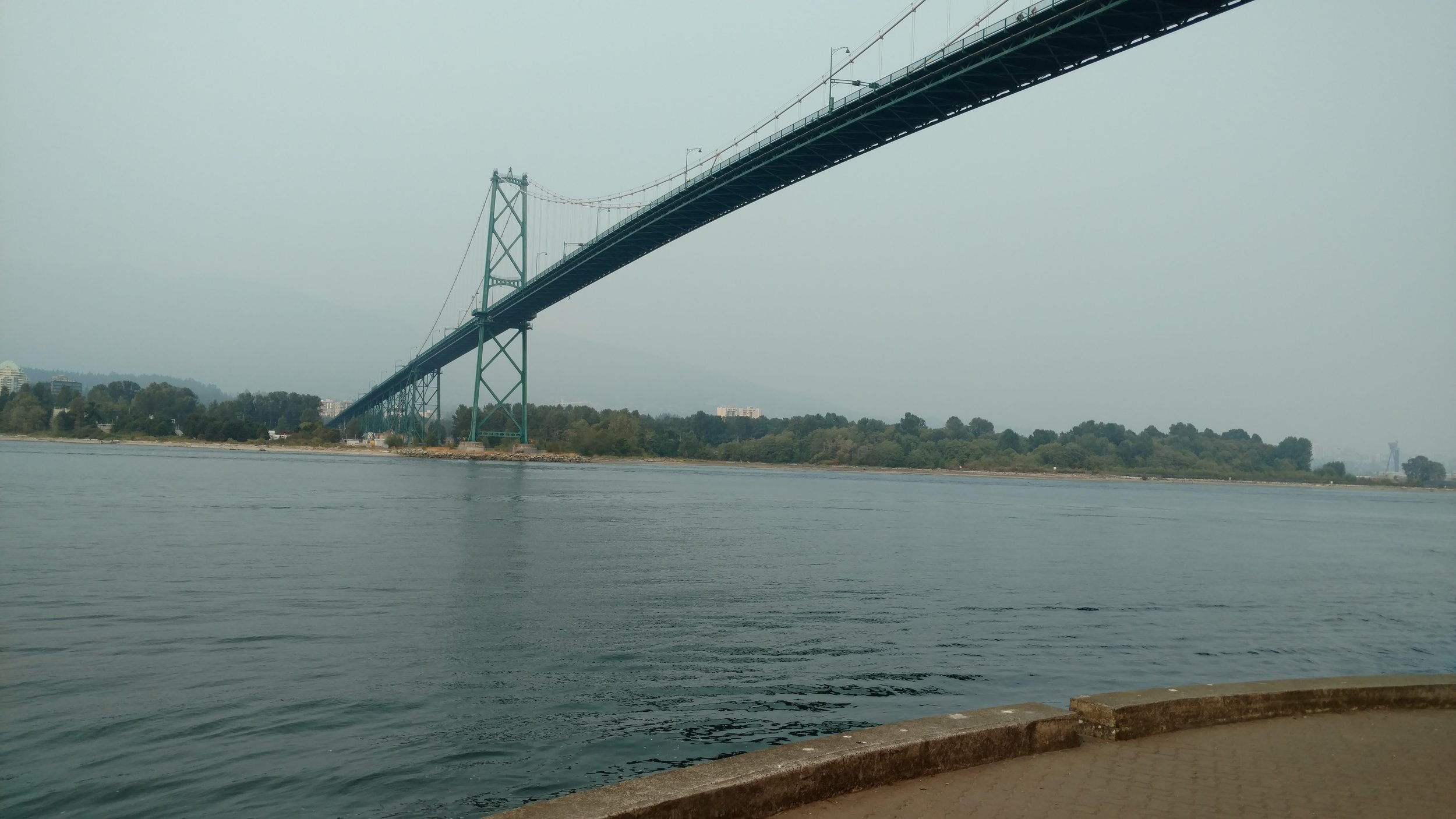
The road conditions were very nice with wide shoulders continuing down the hilly and numerous twists of highway 101 through the tiny towns of South Bend and Nemah. Similarly good road conditions were to present down highway 401, Lewis and Clark Trail Highway, through the towns of Naselle and Knappton. About this time the wide Columbia River came into sight and there were breaks in the clouds revealing some of the blue sky behind – a glorious sight. The next great sight in the far distance was another visual masterpiece, the Astoria – Megler Bridge. Being the longest continuous steel truss bridge in North America crossing from Washington into Oregon it is truly spectacular. I had previously heard from Jim that crossing the bridge by bike is a rather terrifying experience. Naturally, I was intrigued why he described it this way. So I snapped a few photos and began the long trip across the 4.067 mile long bridge. I quickly found out why Jim had described it the way he had. There is no bike lane, a decent incline, and absolutely no shoulder with heavy vehicle traffic and high winds. At the same time there were large birds of prey, blue skies, and sunshine guiding across the entire way making it a highlight of the day and of the whole journey.

Arrival in Astoria, Oregon was a great relief as there was a nice bike shop, Bikes & Beyond, in town where I could replace the tube and reinforce the laceration in the tire with some gorilla tape on the inside wall. At the bike shop I met a guy with a decked out electric bike also traveling from Vancouver to the south with his final destination in LA. An electric bike didn’t sound like a bad idea after another decent chunk of miles and a knee that had become pretty painful and inflamed. In addition to the much needed rest, Astoria is a really fun small city with a great atmosphere. There is much to be explored from the boardwalk along the Columbia River with a trolley running up and down to restaurants and breweries. It’s even home to the movie, “The Goonies”. Luckily, I was able to get a place to stay at the Norblad Hotel which has limited hostel rooms available. The Norblad Hotel would come recommended as it has nice and clean accommodations in a great location. Arrival into town at a decent time also allowed for a sit down meal of local Chinese food at Golden Star as suggested by the bike shop owner and some live music at the Fort George Brewery across the street from the hostel. Welcome to Oregon.

Pacific Coast Tour: Day 3

Day 3: South Beach Campground, Olympic National Park, WA to Aberdeen, WA


Approximate mileage ~ 76 miles

Approximate total mileage ~ 271 miles

Approximate elevation gain ~ 1900 feet

Approximate total elevation gain ~ 6600 feet

Last night I was continuously reminded how I chose to save weight and space by not packing a sleeping pad or sleeping bag. It was a really beautiful setting with the surrounding thick forest, ocean beyond the cliff and light mist and fog hovering above. Although the cool temps combine with mist and solid ground didn’t allow for any more sleep than the previous night. So I woke up around 5 am and walked around a bit in attempt to warm up. I was never so appreciative to use an outhouse as it provided a slight amount of shelter from the mist and breeze to help with the warming efforts. Jim, who we had met the previous night, stopped by around 7 wearing little more than shorts, raincoat, and helmet. This guy had undoubtedly done this before. Joel fixed a flat in his tire the previous night but for whatever reason the tire was flat again in the morning. I hung around, still attempting to regain feeling in my feet, while he fixed his flat for the second time. By this time I was ready to get on the road and keep heading south.

It was consistently raining very lightly the whole morning. Everything I was wearing as well as carrying in my pack was thoroughly saturated by a short while down the road. Once exiting the roads of Olympic National Park continuing on highway 101 once again there were numerous logging trucks whizzing by at great speeds. This stretch contained a very few very small towns and numerous dense forests. Clear cutting of large sections of forest was a frequent sight as well. It was obvious that logging is one of the few main industries inland on this section of the 101.

By this time on the trip my appetite was in full swing. There was simply no way to be able to eat enough and still have enough time to cover the miles I had intended in addition to finding a place to sleep each night. Luckily, Joel had mentioned a little café with free wifi which seemed like the perfect place to refuel and just as importantly recharge my phone and extra battery pack – both of which had been depleted. After about 30 miles I spotted the café! It was called the Quinault Internet Café. It was warm, dry, had free wifi, and a great breakfast menu from which I selected a feast of 3 pancakes, 2 eggs, 2 strips of bacon, and one huge cinnamon roll. Perfection! This massive quantity of calories came in handy over the next approximately 40 miles to the next stop at a town called Hoquiam.

There happened to be a small bike shop in Hoquiam and it was still open. It turned out to be a bit longer of a stop than intended. Even though, the owner and coworker were very nice and aired up a low tire for me. Hoquiam is a town just west of Aberdeen, WA. Once again, there was no solid plan for a place to stay for the night. I did have an idea from Joel about a campground just south of Aberdeen which would be a good place to stay. I also reached out to one family on Couchsurfing in attempt to find a place warm and dry for the night as the previous two nights had been the exact opposite. While riding around Aberdeen in search of a restaurant and grocery store I received a message back from the family whom I contacted on Couchsurfing. They were willing to host for the night! At this time that was some of the greatest news I could’ve received. So I found a subway for a quick sandwich and restocked on nuts and energy bars at a nearby grocery store then headed to my host’s home.

Up to this point there had been some gentle hills for the day but nothing extreme. This changed abruptly as I made a very steep climb up several blocks to my host’s home in a very nice neighborhood. Upon arrival, I was greeted by Lorena then later her husband Matthew and their four children. They were all incredibly wonderful people and I still cannot express how thankful I am for them allowing me to stay on such short notice. I had a nice warm shower for the first time in 3 days then we watched a little bit of Netflix. We conversed and they shared information about their work and the surrounding area – all very interesting. Around 9 pm everyone left me to the couch and I slept more deeply than any other sleep, ever. Once again, Thank You Lorena and Matthew!!!

Pacific Coast Tour: Day 2

Day 2: 10 miles outside Port Angeles, WA to South Beach Campground, Olympic National Park, WA


Approximate mileage ~ 90 miles

Approximate total mileage ~ 195 miles

Approximate elevation gain ~ 3200 feet  

Approximate total elevation gain ~ 4700 feet

The start of day 2 was a stark contrast from day 1 as it really felt more like a continuation of day 1 with 2-3 hours of sleep at the very most. As the daylight finally came around 5:30 am I was more than ready to get back on the bike and keep riding – if nothing else to allow myself to thaw and regain feeling in my hands and feet. As I shimmied out of the bivy and rose to my feet I was surprised to see that I had been rolling around all night directly beside a large patch of poison ivy! Luckily I’ve never had a significant reaction to poison ivy in the past and again escaped with only a few minor locations of irritation on my legs. Before heading back out on the road I quickly packed the bags on my bike and backpack. On days like this it was very easy to fit everything in the limited bags as I was wearing nearly all the layers of clothes I brought in order to stay warm.

Getting back on the road I was primarily using Google maps at this time as this is not the route suggested in most of the guide books or the ACA maps. This route continued on the small highway on which I left Port Angeles and then it led to continue west on the Strait of Juan de Fuca Highway (112) going through the tiny towns of Ramapo and Joyce. I stopped at a gas station near Joyce for breakfast and snacks for later (Clif bars, Powerade, chocolate milk). Here I inquired about the options of continuing on west toward Pysht versus taking a small road and the Olympic Discovery Trail south toward Crescent Lake in the northern part of Olympic National Park to then continue on highway 101. The locals were unsure if the trail had been reopened after recent repairs. Additionally, they recommended staying off highway 112 at all costs due to really high numbers of logging trucks and narrow shoulders. Placing far too much faith in Google maps’ relatively new bicycle guidance feature I decided to head south toward Crescent Lake on the Olympic Discovery Trail.

This began as a very enjoyable moderate climb up a small and fairly well maintained road which led to the descent back down. There was construction part way down the descent as I was stopped by the road worker. She too was unclear whether the trail I needed was reopened. She said she had been on it about a year ago and described it as an easy mountain bike trail. I was committed at this point and continued on after given the all clear. Eventually, after twisting and turning down the steep descent I came upon what appeared to be the trail I needed. Initially, it consisted of a steep climb on freshly laid large uneven gravel. Again, I was far too committed to turn back at this point. This terrain would be no problem for a well equipped mountain bike. However, my gear was set up strictly for riding on well maintained pavement. Continuing on very slowly and carefully to avoid tire punctures or flats the rough gravel later gave way to a single track mountain bike trail. This made for very slow going for around 4-5 miles. The trail runs along the north edge of Crescent Lake and at times the tire of my bike was inches away from plummeting 30 feet straight down into the clear and surely frigid water. The views this provided were enchanting due to the combination of clear calm water surrounded by tall green forest all encased in haze from fog and smoke from nearby forest fires.

After being extremely careful for the past 4-5 miles to avoid tire problems or any unintended bath in the lake I was absolutely delighted to be greeted with what appeared to be a very freshly laid asphalt bike path in pristine condition. This was such a welcome sight at that time I thought it more likely to be a mirage than real life. The next six miles were absolutely blissful seeing only one other cyclist the entire time and even being welcomed by a hummingbird with continued natural beauty all around. The perfect trail quickly ended at a trailhead and it was time to continue onto Highway 101 – a highway I became very familiar with over the coming weeks.

The next stretch of Highway 101 continues for a good number of miles before coming to the next town named Forks. There was one cafe called “Hungry Bear Café” which I had spotted previously on Google maps and looked to the perfect stop for a large breakfast themed meal. The Hungry Bear Café appeared after many miles of numerous large logging trucks zooming by only a couple feet away. By this time my hunger had reached a peak level. Upon arriving I was greeted by a worker saying that the café would be closed for the next few hours due to the fryer being cleaned with nothing else for sale during that time. Quite disappointed I went back outside and searched for some sustenance, a Clif Builder bar. While enjoying the last of my food supplies onboard a family with a camper trailer stopped and had the same idea as me. Outside the café I let them know the response I received but welcomed their efforts to buy some food. They quickly returned outside with a similar disappointment. They then returned to their camper. A few minutes later one of their sweet daughters came back out from their camper with a bag of Doritos she was offering me and she also insisted I come have a peanut butter and jelly sandwich with the rest of their family. How could I turn her down? I then met this wonderfully pleasant family, ate PB & J sandwiches and traded stories. Chad was the father/husband and he is a Canadian citizen. Interestingly, he also served in the US military so he had dual citizenship! They were going to Olympic National Park to visit some of the hot springs. After a short and greatly appreciated visit along with numerous curious questions from the children I thanked them for such kindness and generosity and continued along the 101.

The next stop was a town named Forks. This came after many more miles of speeding logging trucks, hills, some shoulder, some lack of shoulder, cloudy skies, and great scenery all the way. Forks is a small town and like many small towns appeared to have some a few well known small town restaurants. I stopped at one and had a great pulled pork sandwich with sides for an even better price. After departing Forks it is another 27 miles to Ruby Beach which is located in a strip of Olympic National Park situated along the coast of Washington. The ocean was a very welcome site after a long day! Here, at my first site along the Pacific Coast there were a group of grey whales swimming off the shore. Truly a magical sight like out of a dream. Suddenly, I was brought back to reality by a bee stinging my calf. Luckily, I’m not allergic. It was getting later in the day by this point and I needed to find a place to sleep. I saw that within the next ten miles there were two campgrounds and one lodge. The first campground was Ruby Beach which had a sign that said it was full. I then stopped at the Kalaloch Lodge which was also full for the night. They did have drinking water so I made sure to replenish my supplies and warm up a bit in the cozy entry. I then went on to the last option – South Beach Campground which also appeared to be full judging by the sign. I proceeded onward hoping to find otherwise. Indeed the campground did appear quite full. It was a really cool site being perched upon a cliff overlooking the ocean with walkways to the beach below. By this time it was quite chilly, misting, and foggy. There happened to be a touring bicycle leaning upon a picnic table with a tent set up nearby. No one appeared to be present. Hoping someone would show up I took a seat at the picnic a table and waited a while. Soon enough another cyclist approached me also looking to find a place to stay. His name was Joel, a fun guy from Canada who was nearing the end of his trip back to his home in Vancouver. About ½ hour passed before Jim showed up – the rightful owner of the campsite for the night. He too was very kind and extremely knowledgeable about cycle touring. He shared maps, tips, and stories as well as the offer to share his campsite. He also suggested trying to stay in the “day use” area perched above the rest of the campground. Technically no camping was allowed there. However, Jim and even the campground attendant predicted no problems for Joel and I to camp up there for a night. After eating and admiring the view from the campground, Joel and I ventured up to the day use area and set up our camps – his tent and my bivy. This area had an even more spectacular vantage point and plush green grass which was key for me being able to get any sleep whatsoever without any sort of sleeping pad. It turned out to be another wet and cold night giving way to very little sleep. It became evident very quickly that a sleeping pad at the very least and preferably a tent and sleeping bag would be helpful for getting better sleep.

After this long and eventful day two things lingered in my mind. One is the kindness of the family who shared their lunch with me out of their camper. The second is there is no doubt Olympic National Park is a very special place to which I would highly recommend a visit.  

Pacific Coast Tour: Day 1

Day 1: Vancouver, BC to 10 miles outside Port Angeles, WA


Approximate daily mileage ~ 65

Approximate total mileage ~ 105

Approximate daily elevation gain ~ 1000         

Approximate total elevation gain ~ 1500

There are multiple routes to take on the tour of the Pacific Coast. Most cyclists choose to travel from north to south for a number of reasons. Two of the main reasons are that going this direction allows to be on the right side of the road most of the time in order to provide scenic ocean views much more frequently. Secondly, this direction provides more frequent tailwinds as the wind oftentimes is directed from the NW toward the SE. This is not to say that riders don’t ever go from south to north. In fact I came across many cyclists heading north, although they didn’t always appear to be quite as happy!

Navigating your way from Canada to Mexico by bike is a highly personal decision. I met people along the tour using printed maps, state road maps, GPS, Adventure Cycling Association maps, and maps contained in the guidebooks such as Bicycling the Pacific Coast by Vicky Spring. Any of these are perfectly acceptable and depend on personal preference. Personally, I chose to purchase the Adventure Cycling Association maps and use them in combination with GPS on my phone. You can purchase the maps on the Adventure Cycling Association (ACA) website. With these maps the route is divided into five sections with a different map for each section. They are extremely helpful in planning your route providing details along the route such as bike shops, campgrounds, grocery stores, and much more. I highly recommend them. If anyone would like to borrow mine just email me through the website contact form.


Day 1: This day couldn’t have started any better. One of the primary reasons for choosing the Samesun hostel is that they have a free breakfast every morning! Anyone who cycles knows that you expend an incredible number of calories while doing so. As such, I consumed as much food as possible during this free breakfast consisting of pastries, bagels, toast, peanut butter, fresh fruit, eggs, orange juice, and coffee. To my delight this trend of massive quantities of food would continue the remainder of the trip :)

I then set off from the hostel toward the Bridgeport train station and rode south out of the city toward the Tsawwassen Ferry Terminal. Once out of downtown I maneuvered to Annacis Island then over the large Alex Fraser Bridge continuing southwest. The city quickly became more rural giving way to farms and beautiful fields of lavender and blueberries. The approach to the Tsawwassen Ferry Terminal is a long narrow peninsula. There was a long line of cars awaiting permission to board the ferry. After purchasing a ticket to Swartz Bay I was able to quickly bypass the long line of cars as bicycles are allowed onto the ferry first. This was a BC Ferry which is basically a small cruise ship making daily trips. Aboard the ferry are places to relax and soak up the views of the bay and nearby islands, cafeterias, and best of all a full all you can eat buffet for about $20. Naturally, I opted for the buffet which was complete with fresh salads, fruits, seafood, curries, and delectable desserts with seating surrounds by windows giving way to spectacular view for the hour and a half ride. (This is one variation from the ACA maps. I desired to see some of Vancouver Island and the city of Victoria rather than heading southeast toward Bellingham, WA as directed by the ACA maps.)

Once arriving in Swartz Bay on Vancouver Islands, bicyclists are first allowed off the ferry. Navigating south toward Sidney is simple with smooth roads and little traffic. The city of Sidney was welcoming with quiet roads and a nice little bike shop where I met a local who recommended taking the Lochside trail south toward Victoria.  This proved to be a great recommendation as this route is a peaceful 18 mile spin through lush farm fields and trees eventually giving way to a well maintained trail in Victoria continuing all the way to downtown and the spectacular harbour. As the capital of BC government building surround the harbour, and it is filled with Victorian architecture. After soaking in some of the views I purchased another ferry ticket. This time aboard a Black Ball Ferry en route to Port Angeles, Washington set for a 7:30 departure. With about an hour to spare I completed some paperwork which was required for beginning a job after completion of my tour (the paperwork involved in all aspects of healthcare is never ending). After boarding the much smaller ferry and locking up my bike I found my way to the top deck which proved to be perfect for viewing the harbour and its stunning sunset. Food from the small cafeteria was tasty as my appetite had returned after the massive buffet earlier in the day.

After sunset the weather quickly turned to dropping temps, wind, and misting rain. I retreated inside and met the only other cyclist aboard who had been touring about the Canadian Rockies the past few weeks. She had close encounters with massive grizzly bears with pictures to prove it. Due to spreading forest fires in the area she was forced to change her original plans and now was headed south toward San Francisco. She had done some more planning than I and already had a place lined up in town to sleep. I thought it would be a good time to see how well my lightweight “camping” gear would serve me. Upon arriving in Port Angeles everyone lined up to cross into customs. Surprisingly enough none of my bags were searched although the customs agent did request to lift my bicycle. Apparently it passed the test as I was allowed to return to the USA. During this time the temperatures really seemed to dip as I layered up and affixed the light on my bike in the dark, wind, and misting rain. Salt Creek Campground is about 18 miles from Port Angeles so I started off in that direction. As it grew close to 10 pm I decided to find a nice quiet place down away from the side of the road to crawl in my bivouac sac for the night. Using my headlamp and best judgment in pitch black conditions I packed down some soft grass, put on every layer of clothing I had and crawled into the bivy for the night. Being the first night out in the middle of nowhere there was very little sleep to be had. Other than the mid 40 degree temperatures I was kept awake by howling coyotes which seemed to grow very close before finally abating. Then after drifting off for maybe an hour I was awakened by an ATV around 3 am riding only a couple yards away from my feet. This was pretty alarming as I may very well have been trespassing. Luckily, they didn’t stop after riding by a couple times. Finally, I was able to drift off for another hour or so then lay there patiently awaiting the first sign of sunrise to continue on for the next day. By this time I was shivering and both feet were completely numb. There was no question I made the most of day one.

Pacific Coast Tour

Vancouver, British Columbia to Tijuana, Mexico: Day 0

This series of blog posts will chronicle my epic journey starting in Vancouver, British Columbia and culminating in Tijuana, Mexico. This is one of the most scenic and popular cycle touring routes in the US. It has been described in other blog posts and I have published my video, Pedal Hard and Smile Wide, depicting it. This series will provide further details of approximate mileage, routes taken, obstacles encountered, and of course celebrations and triumphs too!


Day 0:  Flight from Des Moines, Iowa to Vancouver, BC. Cycling around Vancouver.

Approximate daily and total mileage ~ 30 miles

Approximate daily and total elevation gain ~ 500 feet

My body weight ~ 188.6 lbs

Backpack weight (no water) ~ 9.6 lbs

Bike bags combine weight with gear ~ 12.6 lbs

Bike weight ~ 17 lbs

Total dry weight (no water) ~ 227.8 lbs

After a very early start with a 6:30 am flight from my home base in Des Moines, Iowa I arrived via a connection in the Vancouver International Airport around 1 pm. The night before I had waited until after dinner to disassemble and pack my bicycle into a cardboard box I had previously picked up from my local bike shop (LBS). After a few minor trials and some help from my brother I was able to carefully pack everything into the box including bike bags and gear other than a backpack I carried onto the flight. Proper disassembly and packing was key to preventing any damage before even getting to start this journey. A roll of Gorilla tape also came in very handing for securing everything into proper position for transit.  

After waiting around 45 minutes at the special baggage claim in the Vancouver airport my bike box slid down the chute. It had official TSA tape affixed haphazardly all around it and appeared to have been drop-kicked down a couple flights of stairs. The extra time spent packing instead of sleeping immediately appeared to be well worth it. I then carried the bike box away in search of a quiet spot in the airport for unpacking and assembly. Although being a rather busy airport there was a nice set of unoccupied benches tucked away on the second floor. There I settled in and quickly unpacked the bike pieces, gear, and copious amounts of tape and padding material. I was supremely thankful to find that everything appeared to be intact and in good repair. With an audience of a curious 3 year old boy and elderly lady I carefully and swiftly assembled my ride. Assembly went without any hitches, bags were strapped on, gear was packed, and after some minor adjustments I was ready to change into some cycling attire. A small round of applause and many smiles were had upon rolling off in search of a place to change :) (It is important to note that the airlines instruct you to deflate your tires for transit. In my case I planned on riding out from the airport without stopping at any bike shops, and I carried only CO2 cartridges for tire repairs - no pump. Therefore, after some quick research the night before I found that it really is not necessary to deflate your tires. I only deflated to about 90 psi out of extra precaution. Good enough to ride out of the airport.)

After changing in the airport bathroom I set off from the airport for a little tour of Vancouver. If you haven't ever been to Vancouver it is one of the most beautiful cities in the world. During the time that I was there it was very hazy due to smoke from recent large forest fires nearby. This made for one spectacular red glow for the already usually stunning sunsets in Vancouver. Cycling about this city is really a joy. There are prominent bike lanes, well maintained roads, friendly people, and enjoyable sites all around. One highlight for any cycle tourist is Stanley Park which contains 405 hectares of ocean views, lush forests, monuments, totem poles, swimming pools, beaches, and best of all 6 miles of smooth bike trail circling the park. After circling the park and soaking in the views I stopped at a LBS (Stanley Park Cycle) to top of my tires. By this time it was getting later in the day and time to find a place to rest for the night before the real adventure began.

There are countless hotels, Airbnbs, and hostels in the city. I didn't find many options for camping very near the city center aside from urban camping on a park bench or under a tree. So on this night I opted to stay at Samesun Hostel which was a good hostel in a good part of town with a place to lock up my bike in the basement and free breakfast. After a shower and a couple pieces of pizza it was time to get some rest. Day 0 in the books. 

Pedal Hard and Smile Wide

Check out the video I put together from some of the photos and GoPro footage from my recent Pacific Coast cycling tour!

Cycling from Vancouver, British Columbia, Canada to Tijuana, Baja California, Mexico in 24 days including one rest day. Although far from capturing the true essence of my tour, the video I made does provide a glimpse of some of the beautiful scenery of this stunning coastline.