Day 12: Standish-Hickey State Park, Leggett, CA to Gualala Point Regional Park, Gualala, CA
Approximate daily mileage ~ 109 miles
Approximate total mileage ~ 1,033 miles
Approximate daily elevation gain ~ 7,900 feet
Approximate total elevation gain ~ 43,200 feet
Day 12 began as I woke up on the top of the picnic table selected the previous night. This seemed to be the best sleeping option yet: the combination of the sleeping pad, the top of a picnic table to get off the ground, and warmer temperatures. It allowed for some intermittent deep sleep which was much needed and had been rare up to that point. As usual, I meticulously gathered and packed all my gear. During the time it took me to do that, eat a Clif bar, and drink tea, Neal and Thomas, the other cyclists, had done the same and departed ahead of me. All of us were heading south and we all knew what was ahead of us for the day.
What lie ahead was the single largest climb in one day of the entire Pacific Coast route. We all knew it, and Neal actually was looking forward to it as he enjoyed the challenge of climbing hills. All I could think of was how much energy I would be expending this day and that the store across the road had breakfast burritos on their menu which sounded scrumptious. So after refilling only my water bottle and very little in the Camelbak (to keep as light as possible) I made sure to stop immediately for the large breakfast burrito which did not disappoint whatsoever.
It was then time to hit the road. The uphill climb started immediately. I had taken extra time to stretch beforehand. The combination of stretching and the previous day’s saddle adjustments had my knee feeling okay with the muscles of my legs feeling fresh after a relatively low mileage day yesterday. The grade of the road was definitely steep, but it actually seemed quite manageable as I was able to get in a good groove and gradually kept moving at a good pace as the road curved back and forth upward. After not many miles I reached the point to turn right onto the start of Highway 1. If you happen to miss this turn and continue straight on Highway 101 you would be in for an even longer day. There was little traffic overall, and the traffic which was present kindly provided plenty of room while passing by. Eventually I caught up with Thomas and rode down one steep descent portion with him. Then on the next incline I continued on and caught up with Neal. We rode together for a short while, and I later moved on continuing yet another portion of the climb. The advantage of a carbon racing bike and little gear was again very evident in the hills.
As the mountain hills came to pass, the dense forest eventually did too. This meant that the coast was again nearby. Riding up the hills I had worked up quite a sweat and after the descent and the arrival of the cooler ocean air it felt quite a lot cooler. This is a constant changing factor with cycling – the layering of clothes to stay warm then removing them before getting too warm and sweating through all of them.
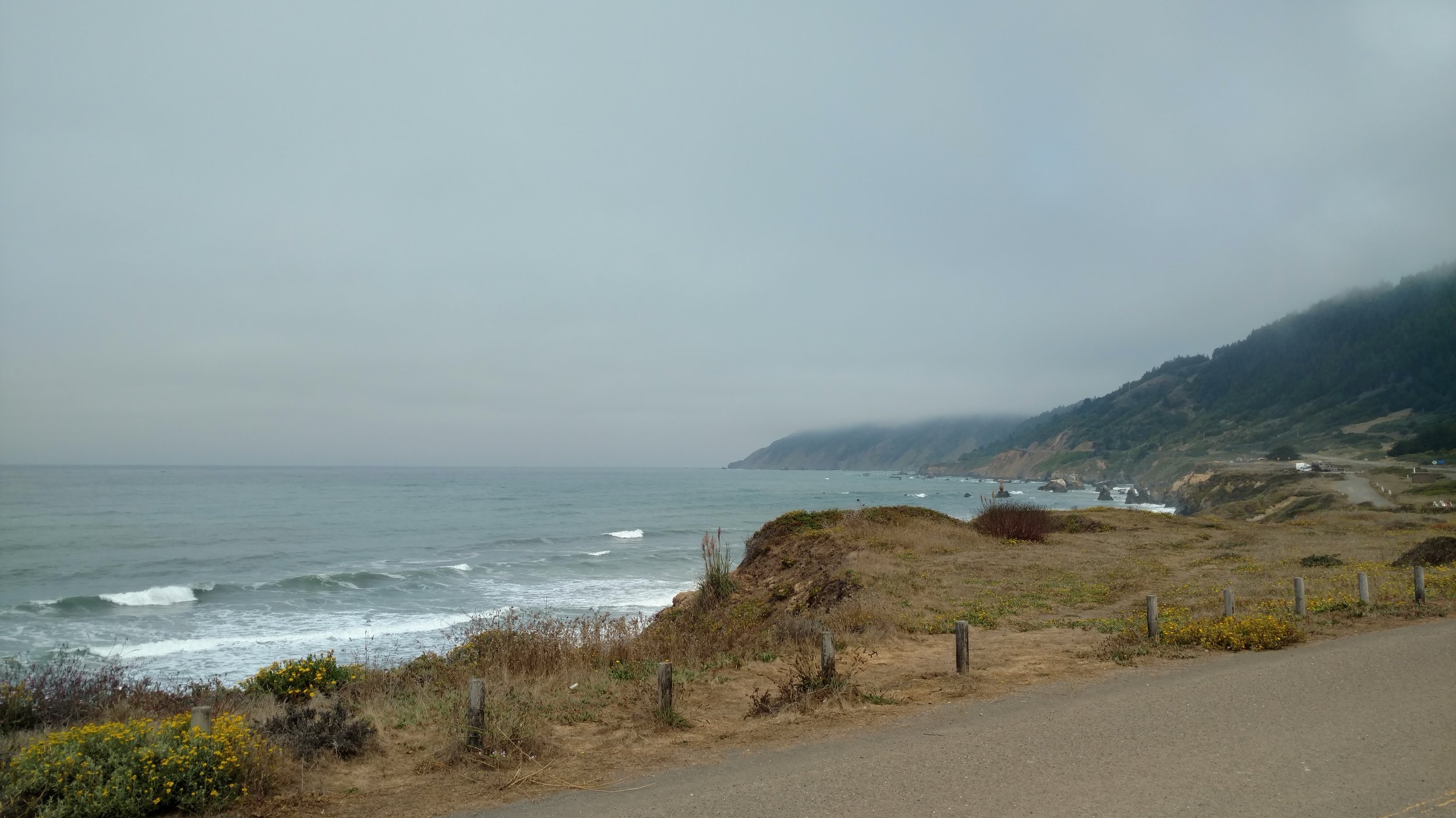
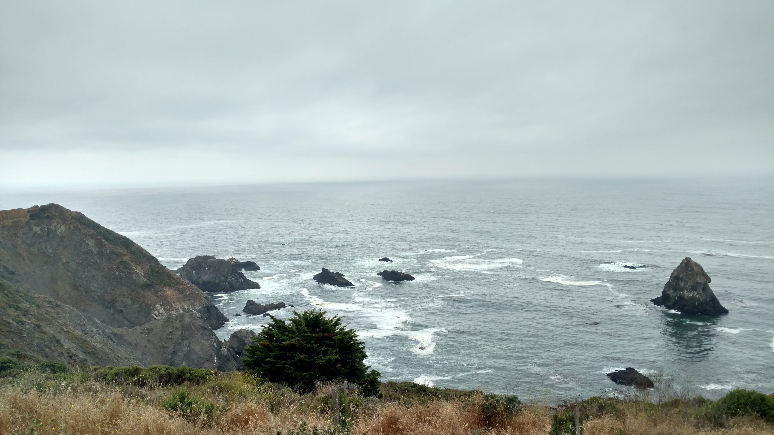
The ocean was a drastic change from the previous couple days and was a welcome sight. I stopped shortly after reaching the coast to enjoy the scenery and grab a quick snack. Continuing onward I was able to maintain a fantastic pace as there was little wind and the roads were rather smooth. The cool and wet ocean air felt chilly which was perfect with the right combination of clothes. There were numerous small coastal towns along the ride including Rockport, Westport, Newport, and also MacKerricher State Park before reaching the larger small city of Fort Bragg, California. By this time my hunger had returned and before leaving Fort Bragg I made a stop at McDonald’s. The reasons for McDonald’s stops on this tour were always twofold: quick inexpensive calorie dense food and electric hand driers in the bathrooms for drying my wet clothes. Then menu on this stop consisted of a McChicken, McDouble, and McGriddle breakfast sandwich – approximately 1390 calories worth of food. I’m not saying it’s healthy, but on a long day like this a lot of calories are necessary to keep going.
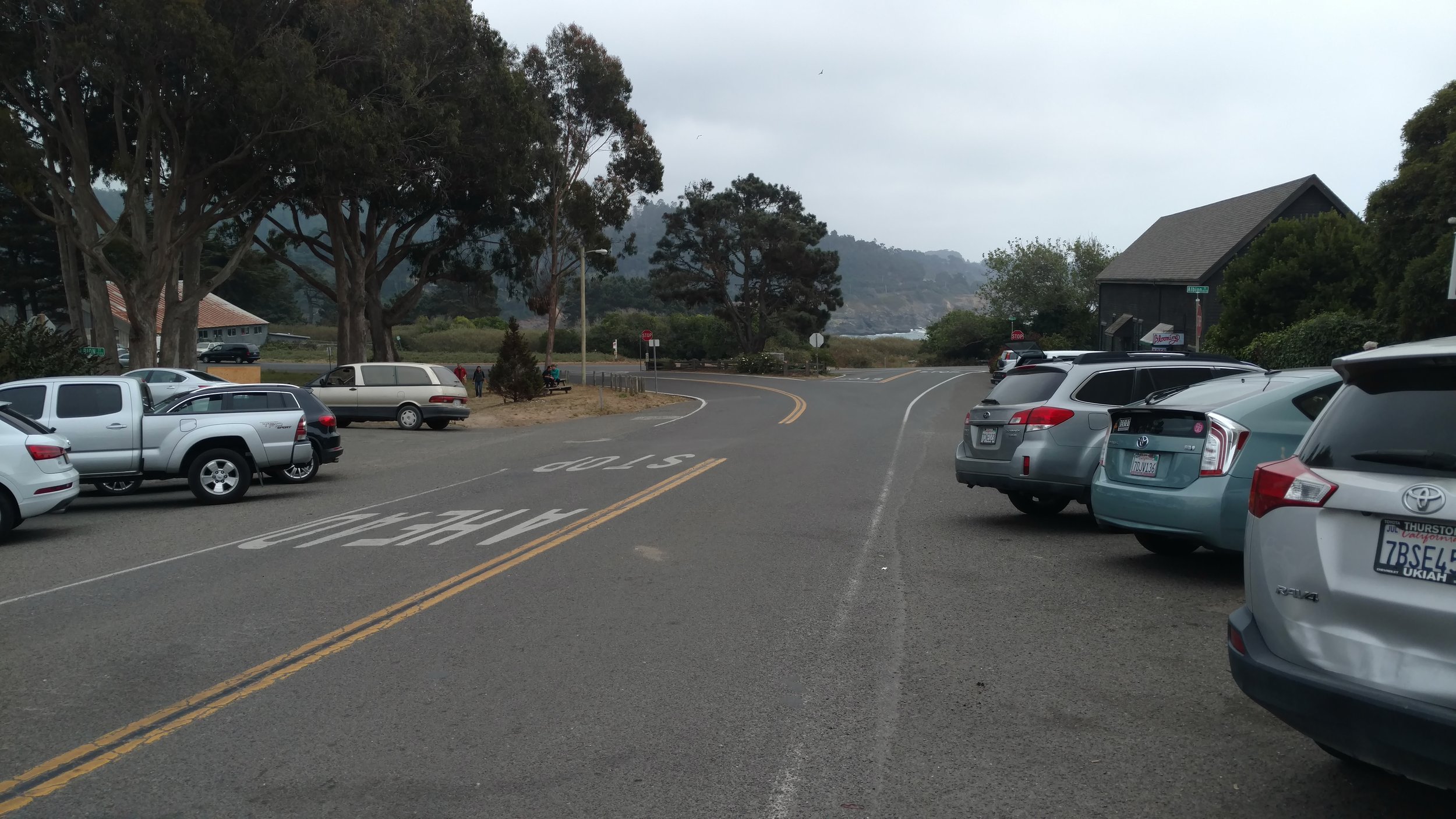
Upon leaving Fort Bragg with freshly dried clothes/socks and a full belly I came upon another cyclist. He was riding home after running some errands and was an avid rider around the area. He had done the Leggett hill many times and asked where I was headed for the day. I told him and he said it was at least 60 miles away and said it should be a good ride. The issue was that it was already nearly 2 pm. So at the best pace possible the ride continued with more gentle rolling hills the remainder of the way. Very quickly I came upon the town of Mendocino which I had been told was a fun little town to check out. With the day growing onward I debated stopping such a short distance after Fort Bragg, but decided to take advantage as it may be a long time before a return visit to this area. Indeed, Mendocino was a picturesque little town with numerous cafes, shops, and restaurants sitting right on the coast. I stopped for a great coffee and muffin at a nice little coffee shop named Moody’s Organic Coffee Bar. Great place!
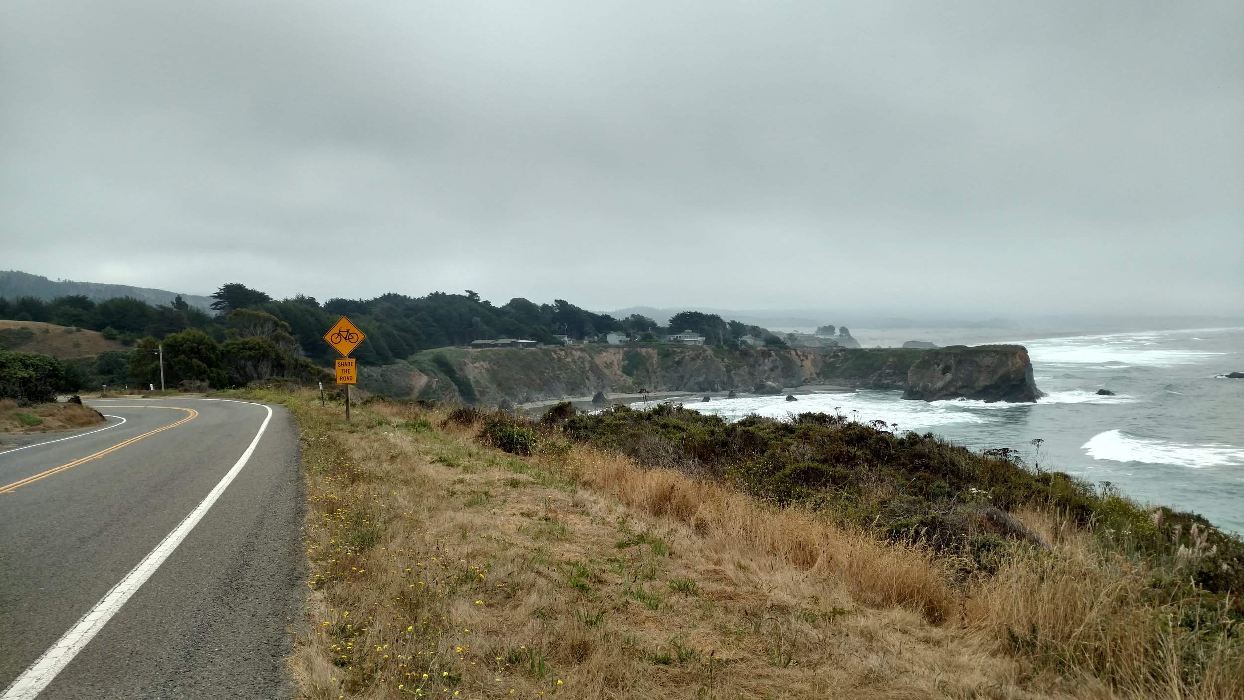
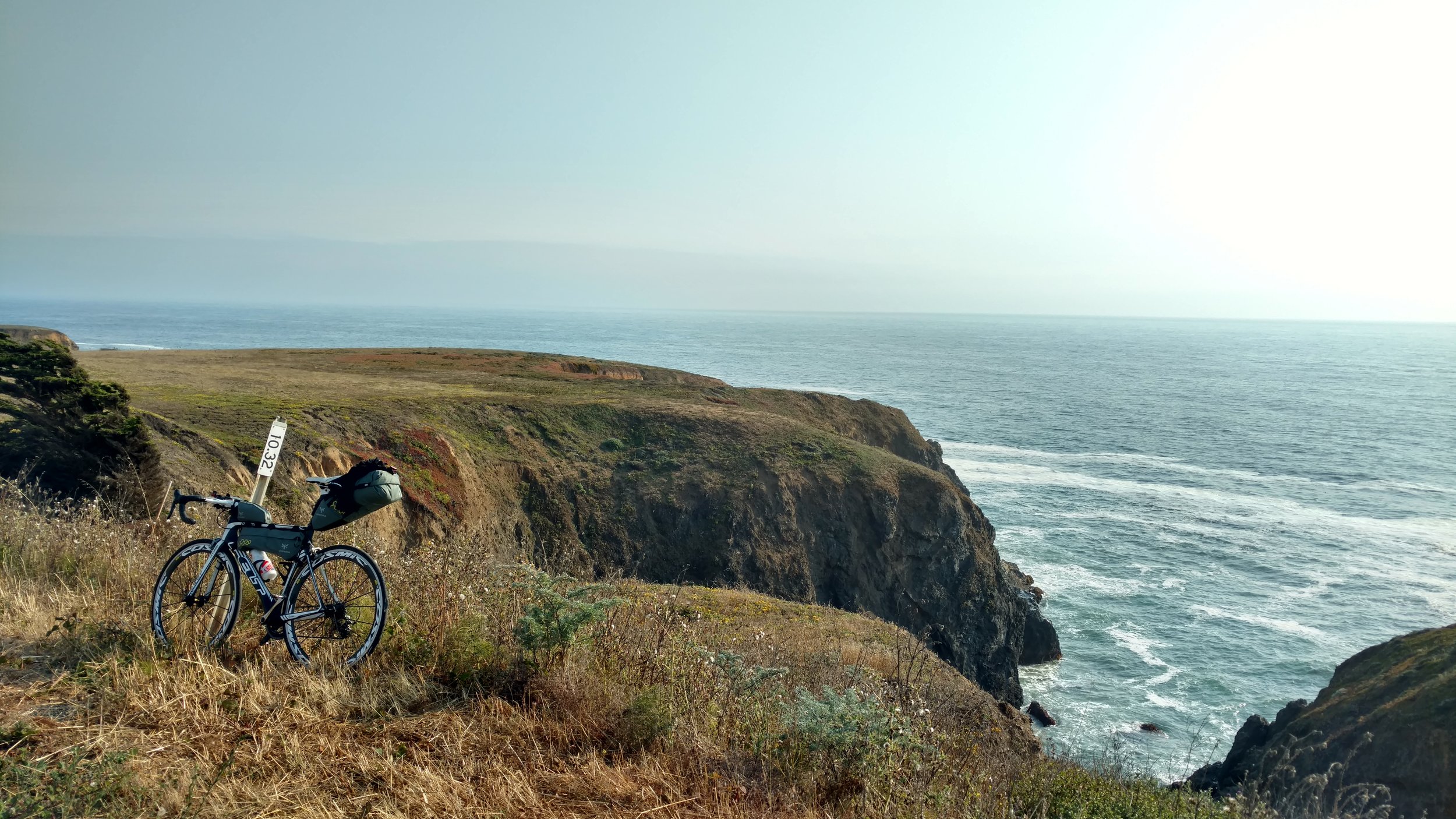
Then it was time to really cover some ground with still over 50 miles to go. Immediately upon leaving Mendocino there was one of the many extraordinary views overlooking the sheer cliff on which the town is perched with the Pacific waves crashing loudly below. The next 50 miles seemed to blur together as they were a combination of intermittent steep grades followed by equal descents, many curving roads, and an incredible amount of rural scenery with very few other people around. There would be occasional cars and motorcycles with very little else. I stopped for a break after going around 20-25 miles. Thinking there was no one else around near this farmland I grabbed a snack and was startled to hear two people saying hello. There were two people under a shade tree enjoying some food with their bicycles parked just beside them! Asking them where they were going, they replied, “North…to Alaska. We started in Argentina.” WOW. Just as I was beginning to wonder what the heck I was doing and second guessing myself these two people appeared and instantly provided inspiration and reassurance.
The next twenty-something miles were spent thinking about those two people and what they must have encountered and overcome along their journey. Truly incredible. During this time the scenery of this stretch reminded me of home actually. Although hundreds of miles away there was a striking resemblance to the rolling hills of Madison County, Iowa with large stretches of farmland accompanied by the intermittent farm home.
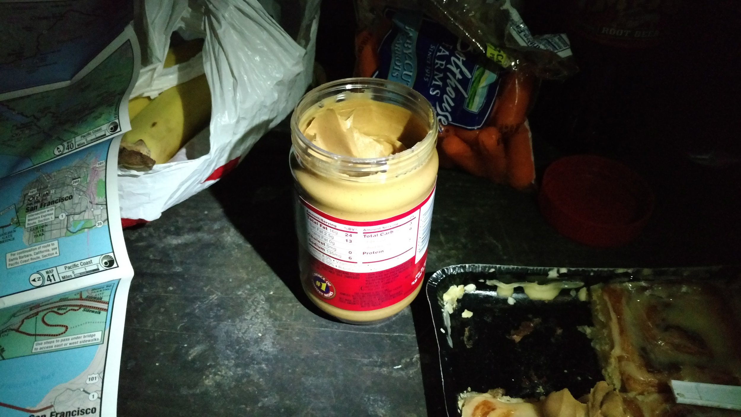
At some point the smooth pavement turned to quite rough tarmac and my hands were really feeling every vibration through my stiff bike. In due course, the town of Point Arena appeared. A highlight of Point Arena is their lighthouse. Unfortunately, the closing time of 4:30 had already come and passed so I continued south with hopes of reaching the town of Gualala before 8 pm as that was the closing time of Gualala Supermarket. Sure enough, Gualala appeared and after a quick tour through the neat town I arrived at the supermarket with a big appetite. After locking up my bike outside I made a few select choices including carrots, 2 bananas, a 6 pack of cinnamon rolls, a jar of peanut butter, and a quart of chocolate milk. The milk was rapidly devoured as everything else was packed. It was only a few more miles outside town to reach the campground on the east side of Highway 1.
The Gualala Point Regional Park campground was a pleasant surprise with well maintained facilities, hot showers, and a great hiker/biker site tucked into the dense trees overlooking the river all for only a $5 fee. I was welcomed by only one other cyclist who was a friendly young man from Austria, and there was a great big picnic table to claim for a bed. I ate that evening’s meal in the dark using my headlamp for light as I snacked on carrots dipped in peanut butter and cinnamon rolls topped with the same. Simultaneously, this was the best opportunity to take a look at the map and plan out a tentative destination for the next day. During the planning and eating in the dark I was filled with a great sense of accomplishment for the day covering the greatest distance and greatest amount of elevation gain in one day of the entire tour. The feeling didn’t last long as the evening grew later. It was time for much needed rest to prepare for the next day of riding as many miles still lay ahead before reaching my ultimate goal of crossing into Mexico.
