Vancouver to Tijuana

Pacific Coast Tour: Day 14

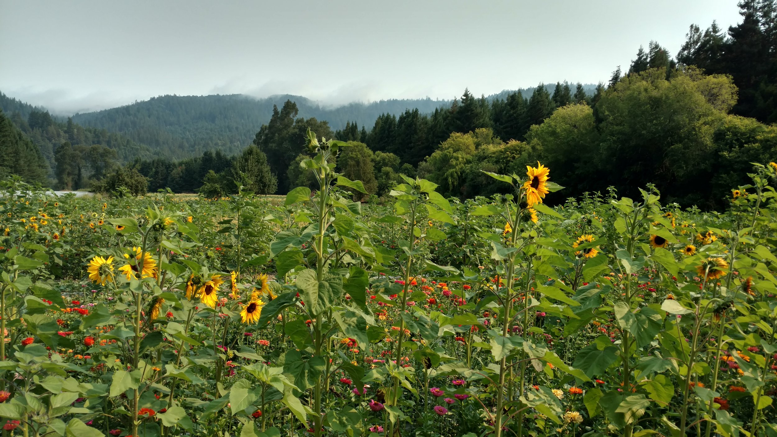
Day 14: Samuel P. Taylor State Park, Lagunitas, CA to Oakland, CA


Approximate daily mileage ~ 50 miles

Approximate total mileage ~ 1,173 miles

Approximate daily elevation gain ~ 1,700 feet

Approximate total elevation gain ~ 50,000 feet

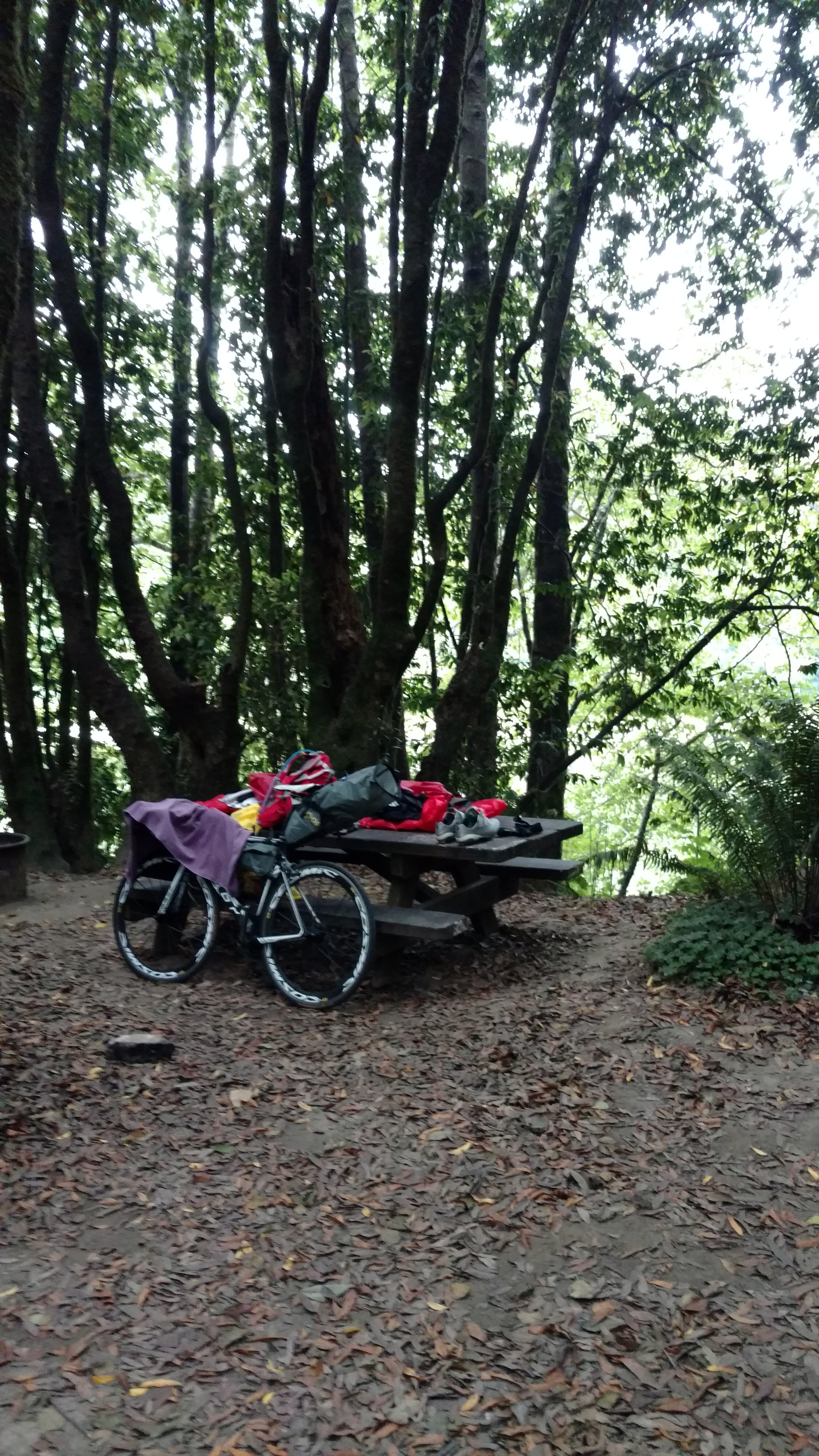
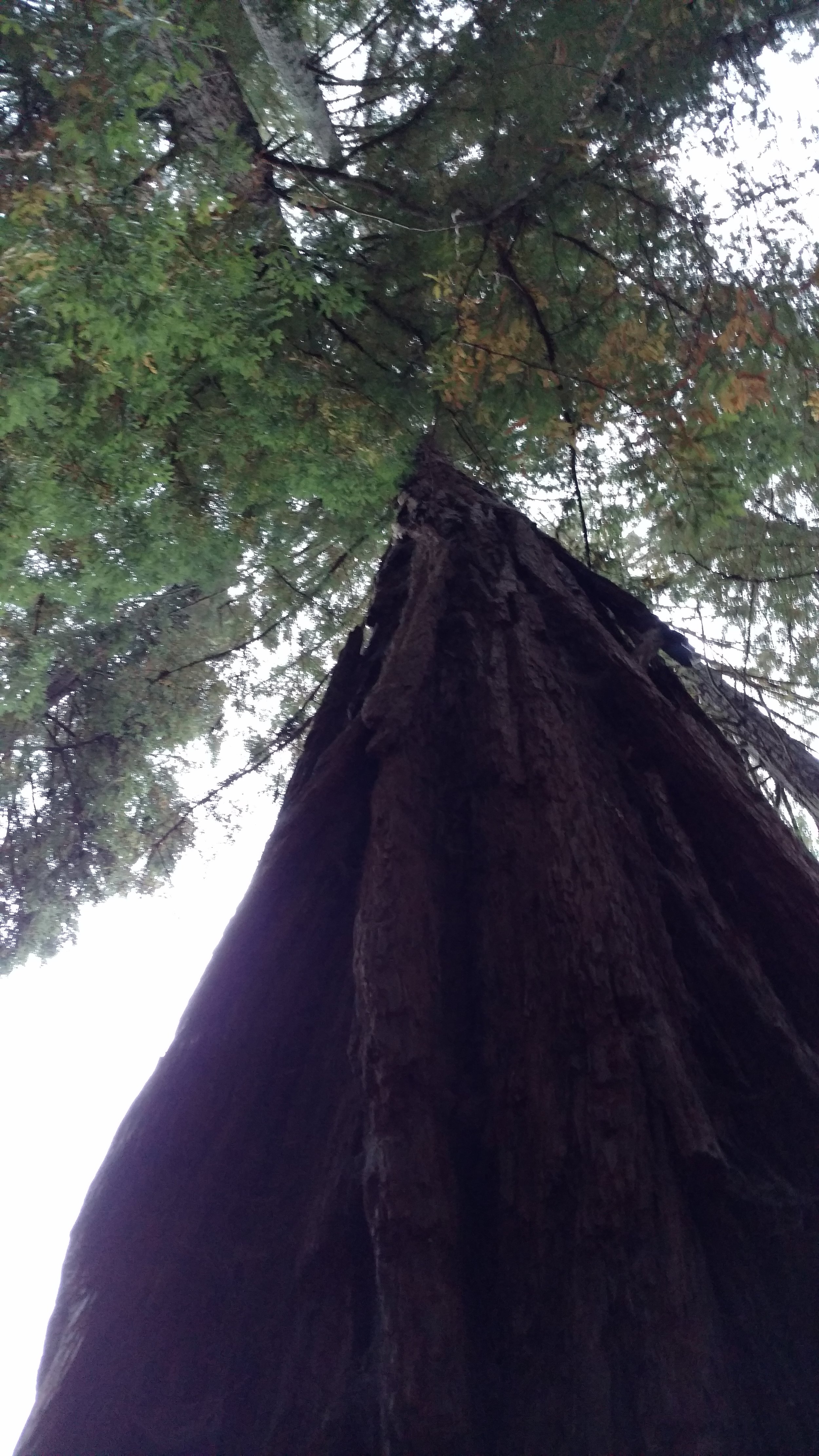
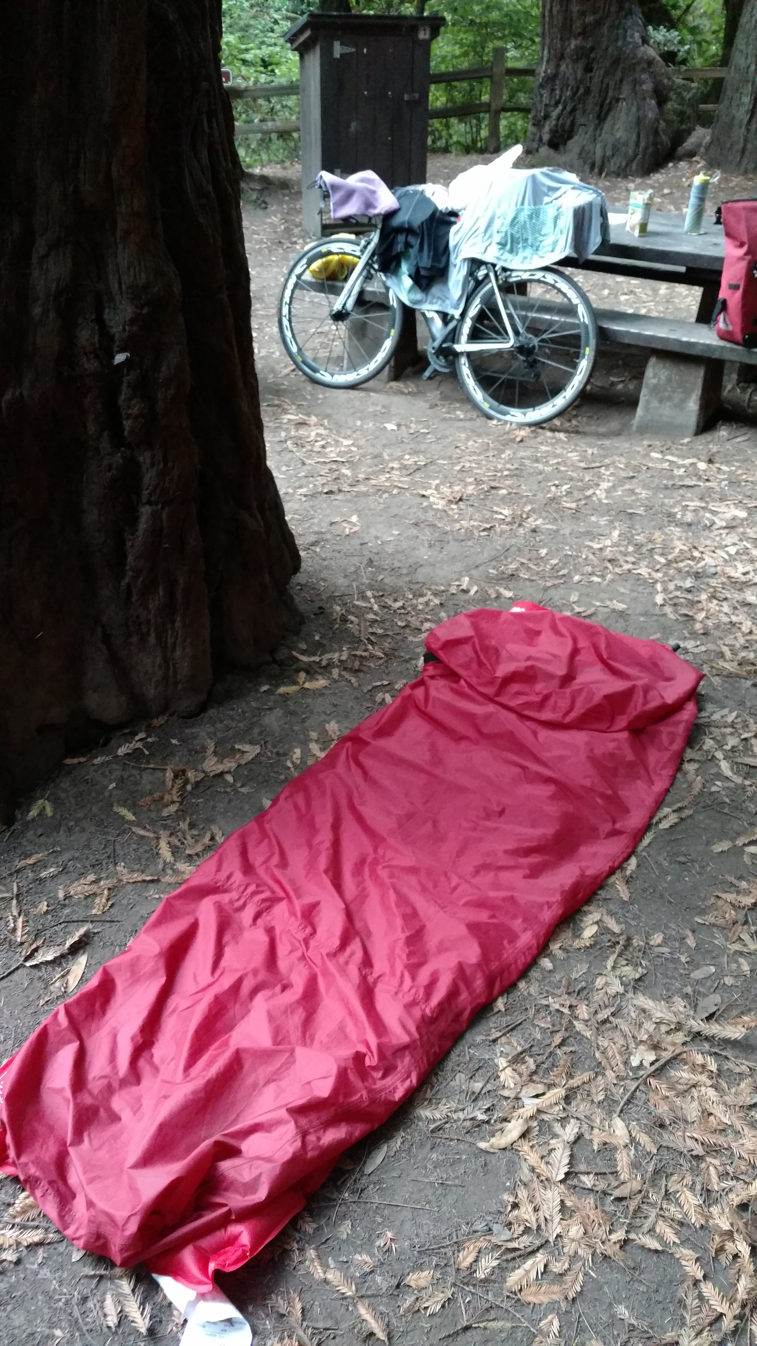
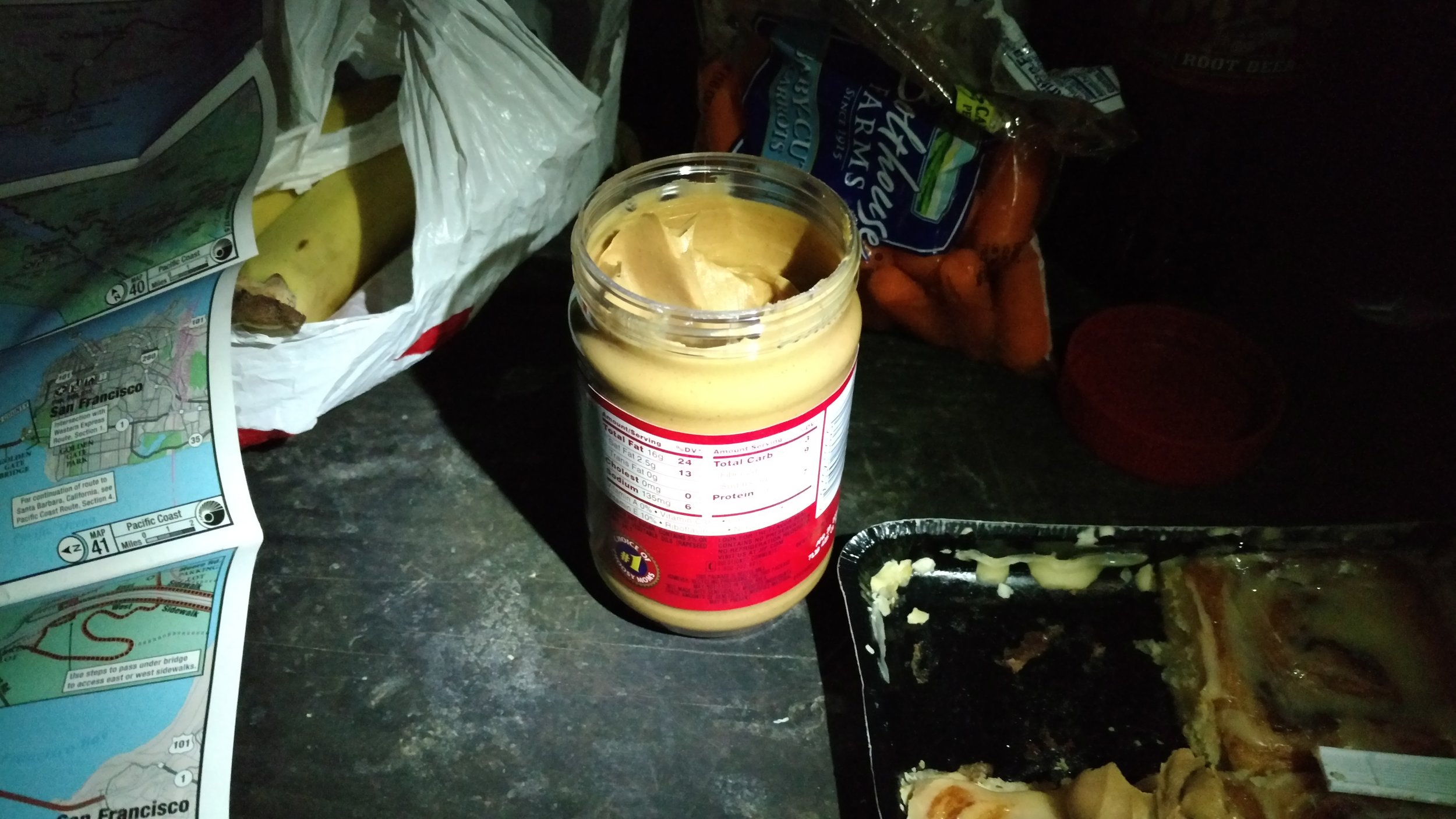
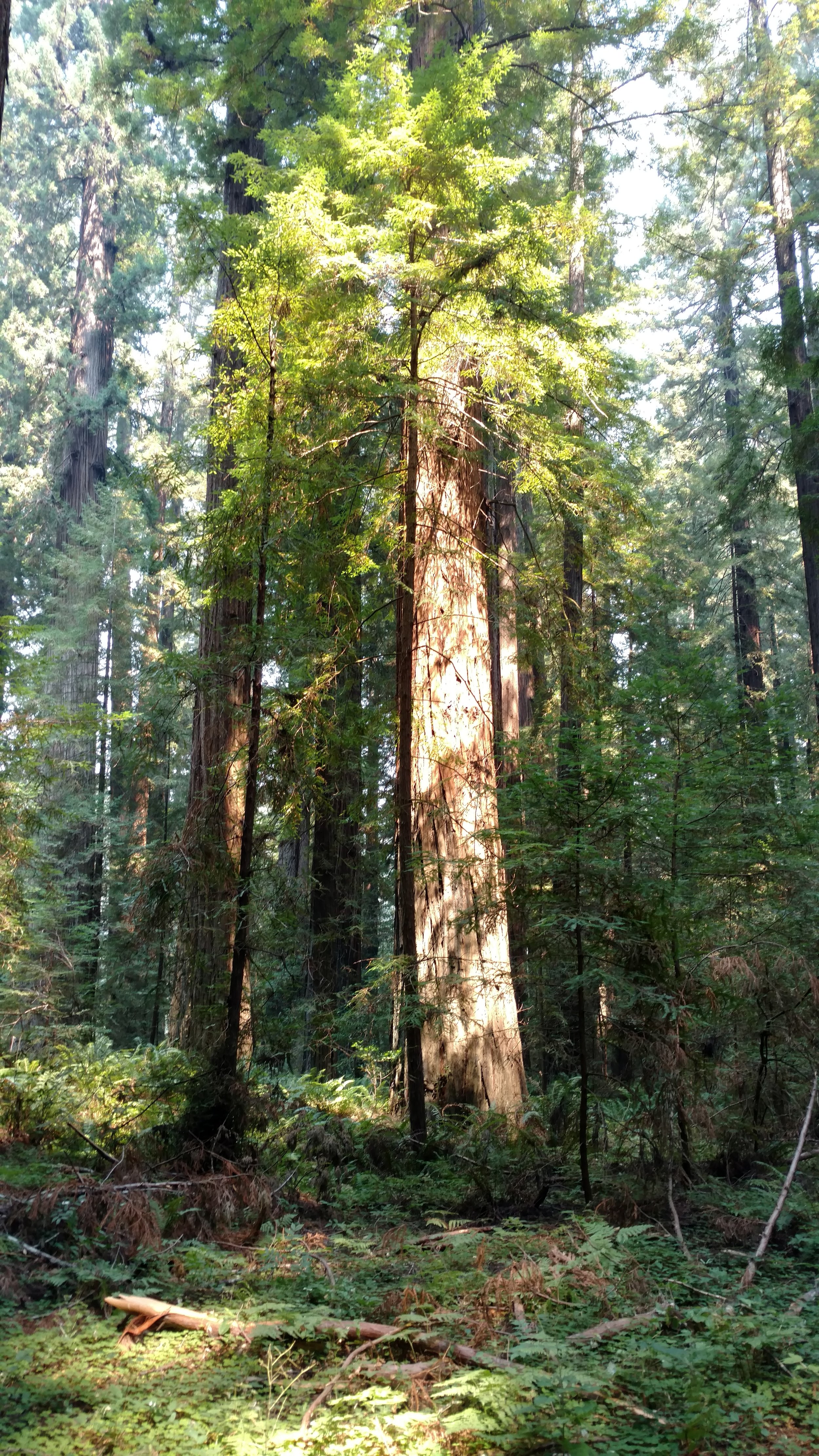
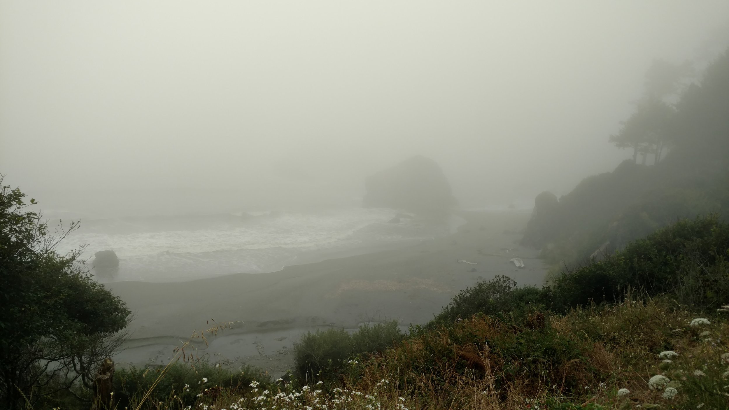
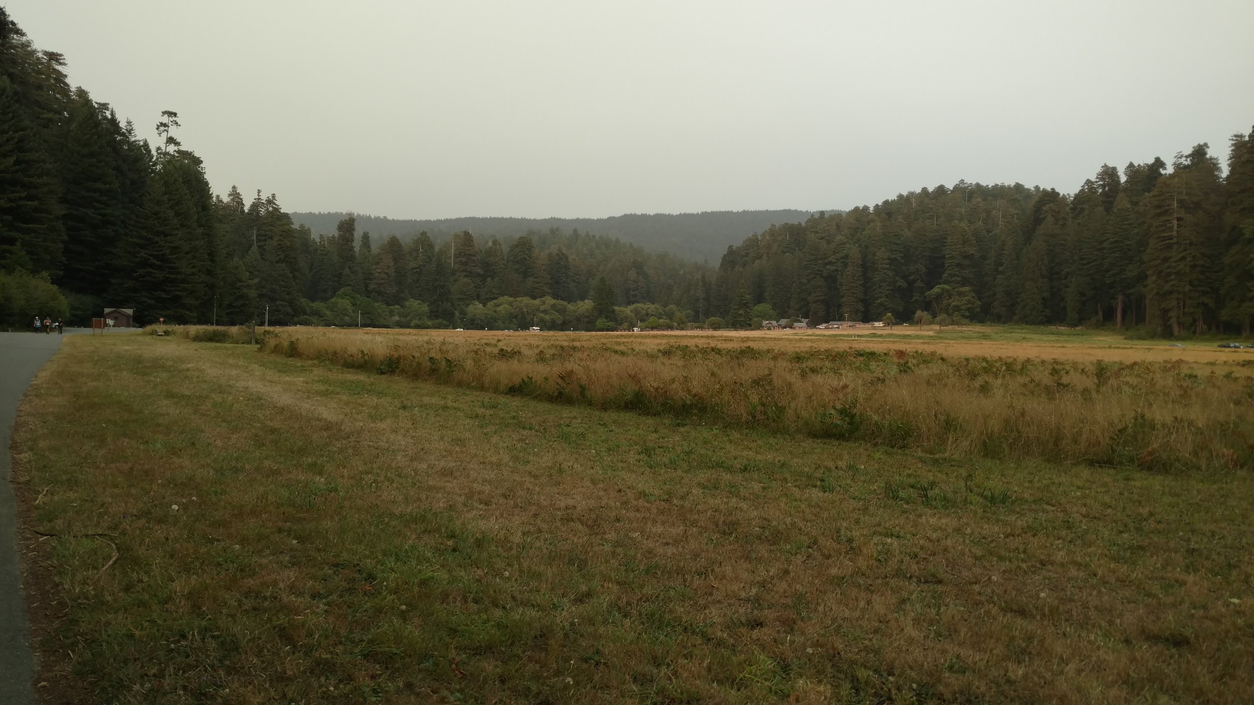
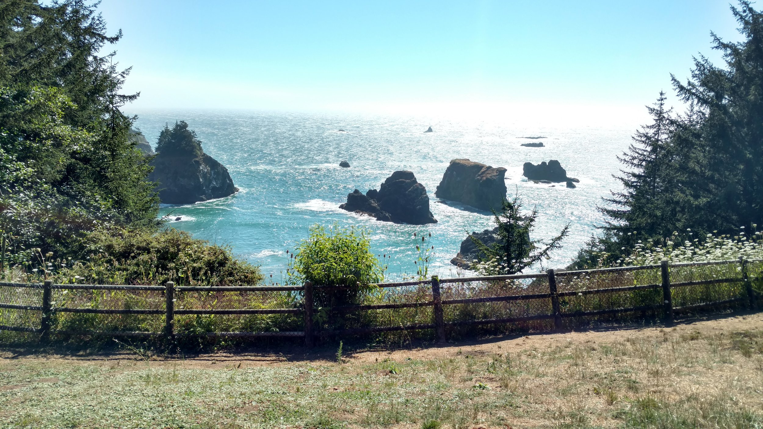
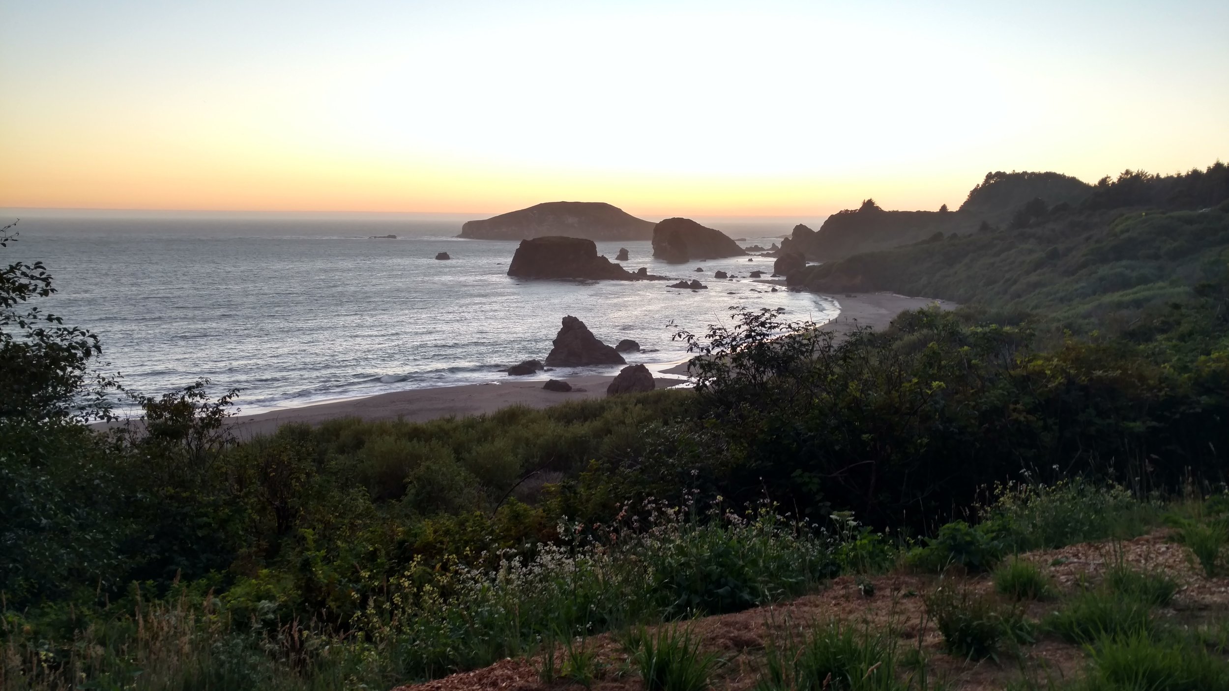
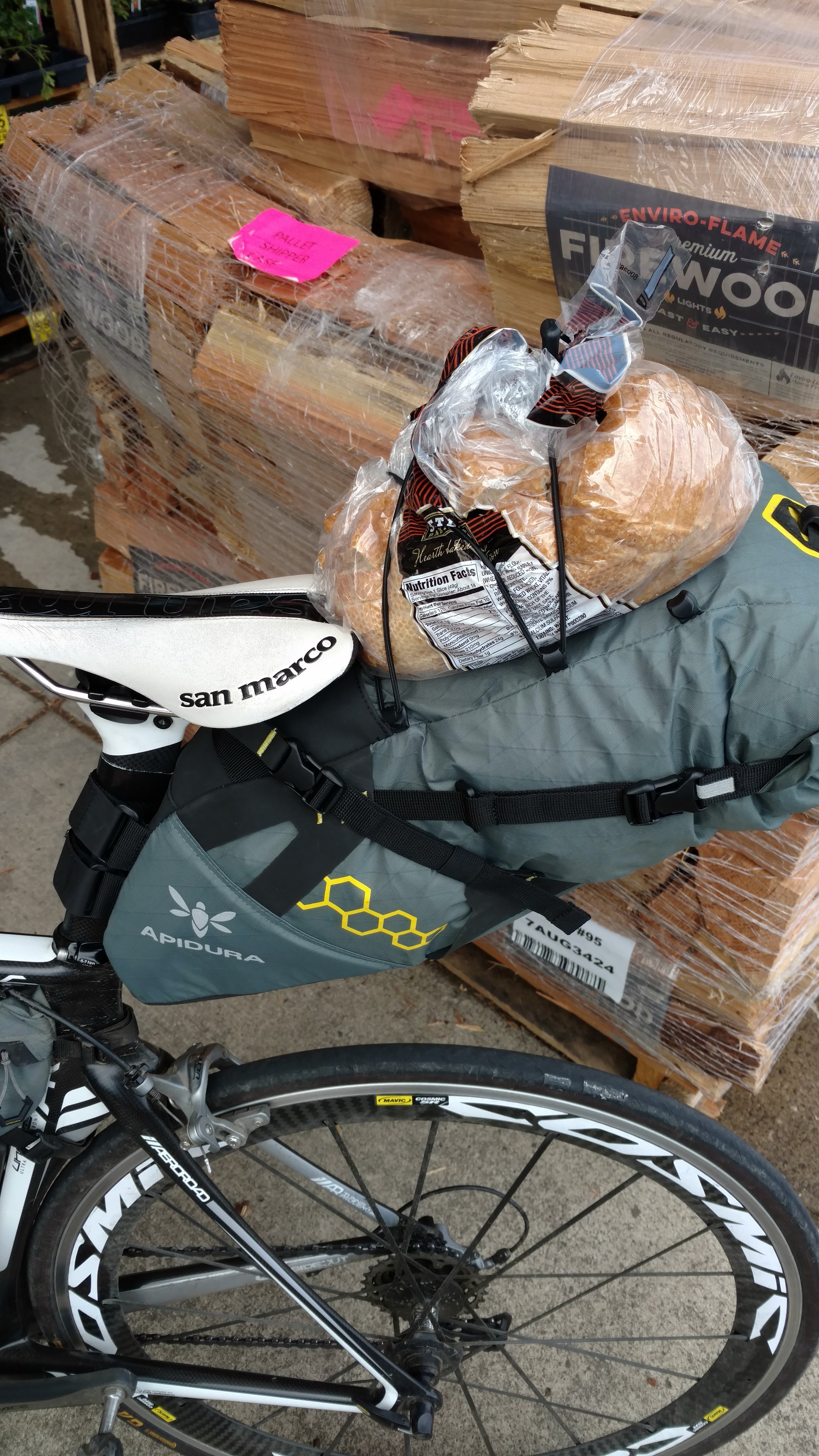
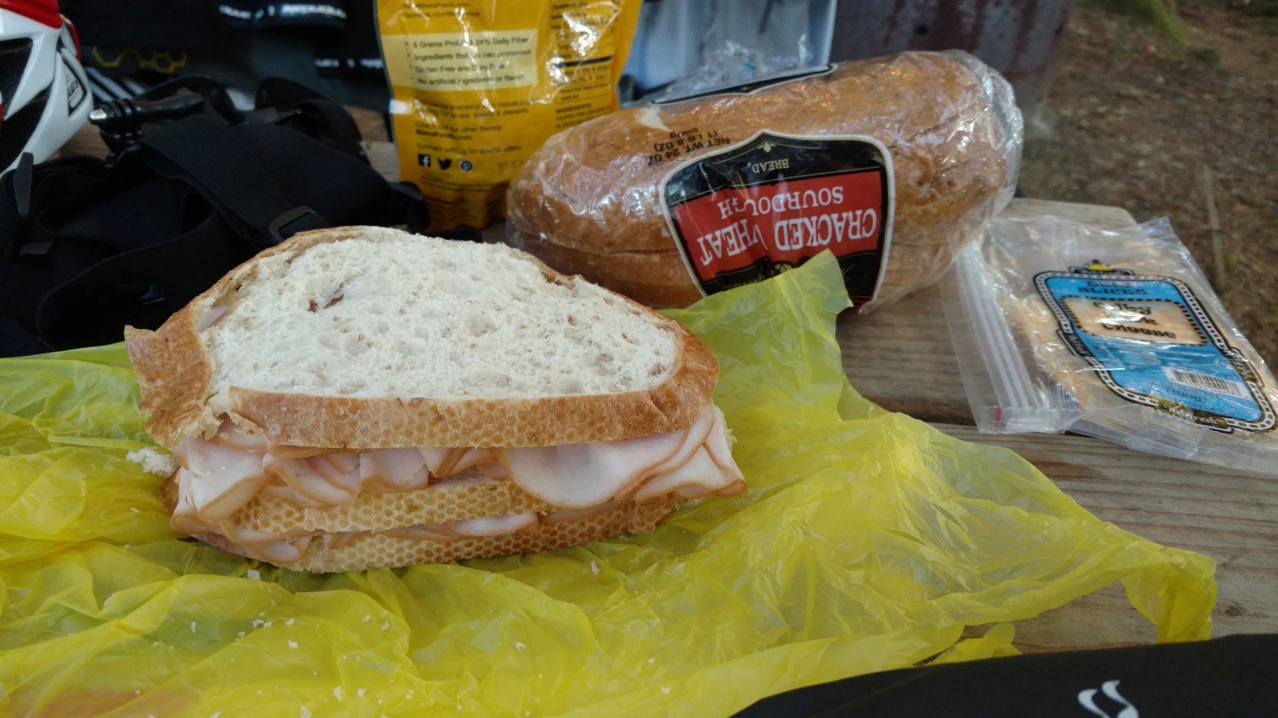
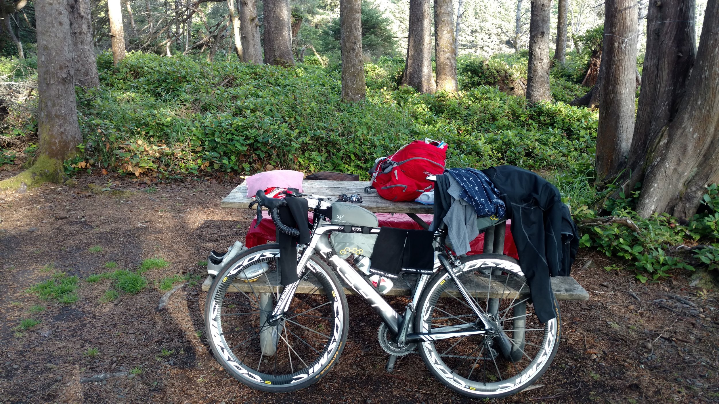
Around 7:45 AM I awoke still underneath the same majestic redwood. It had a fresh new look in the early morning daylight and the same fresh tone was set for the day. The British men were just arising out of their tents as well. They promptly started making coffee on their camp stove. My breakfast consisted of water, carrots, and the remaining 1/3 jar of peanut butter. I gathered and carefully packed my things for the 14th time. While I was eating I watched the two guys from the UK who rode all the way from Boston take only a fraction of the amount of time to do the same. It was clear they really knew what they were doing by now.

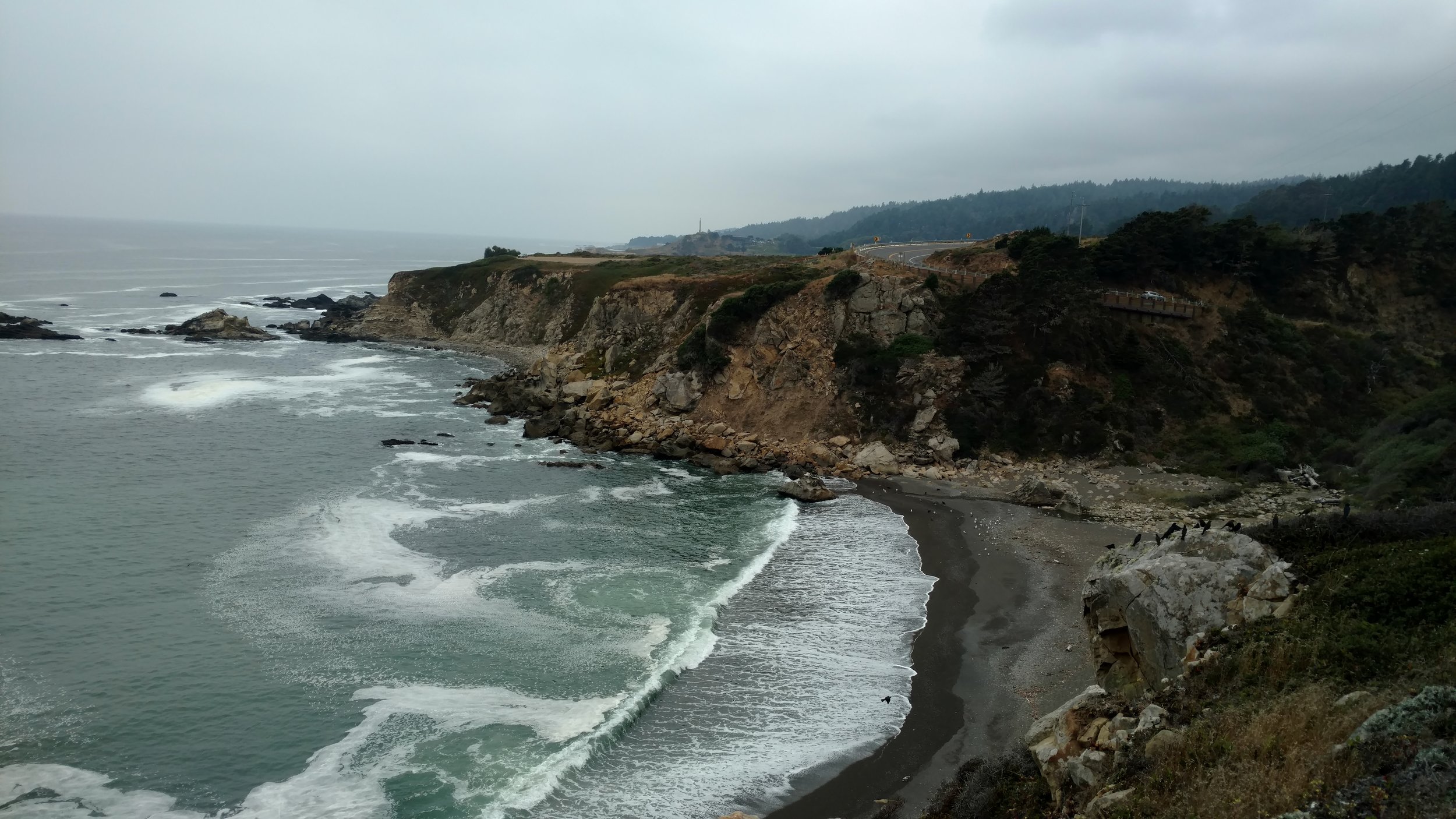
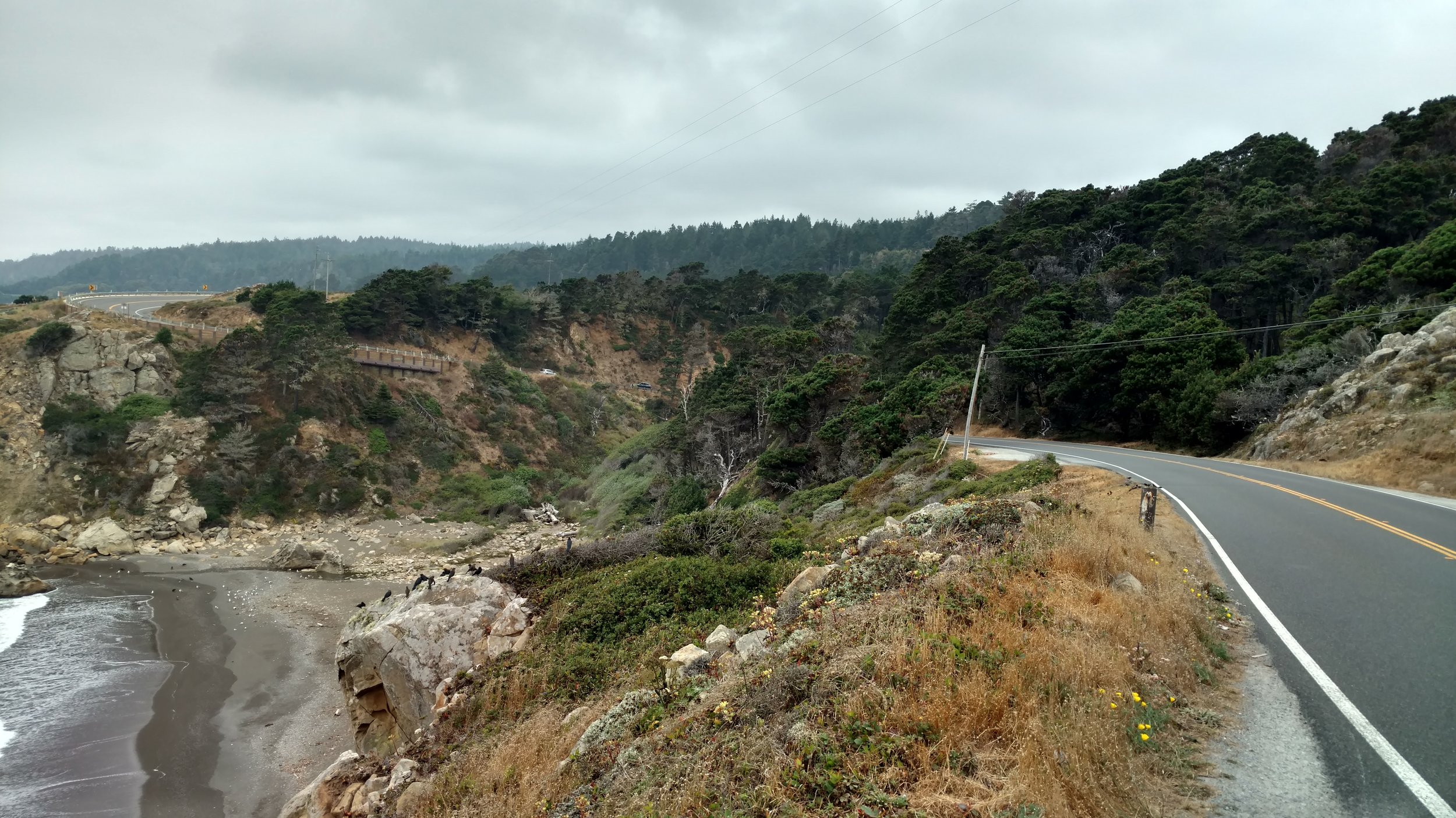
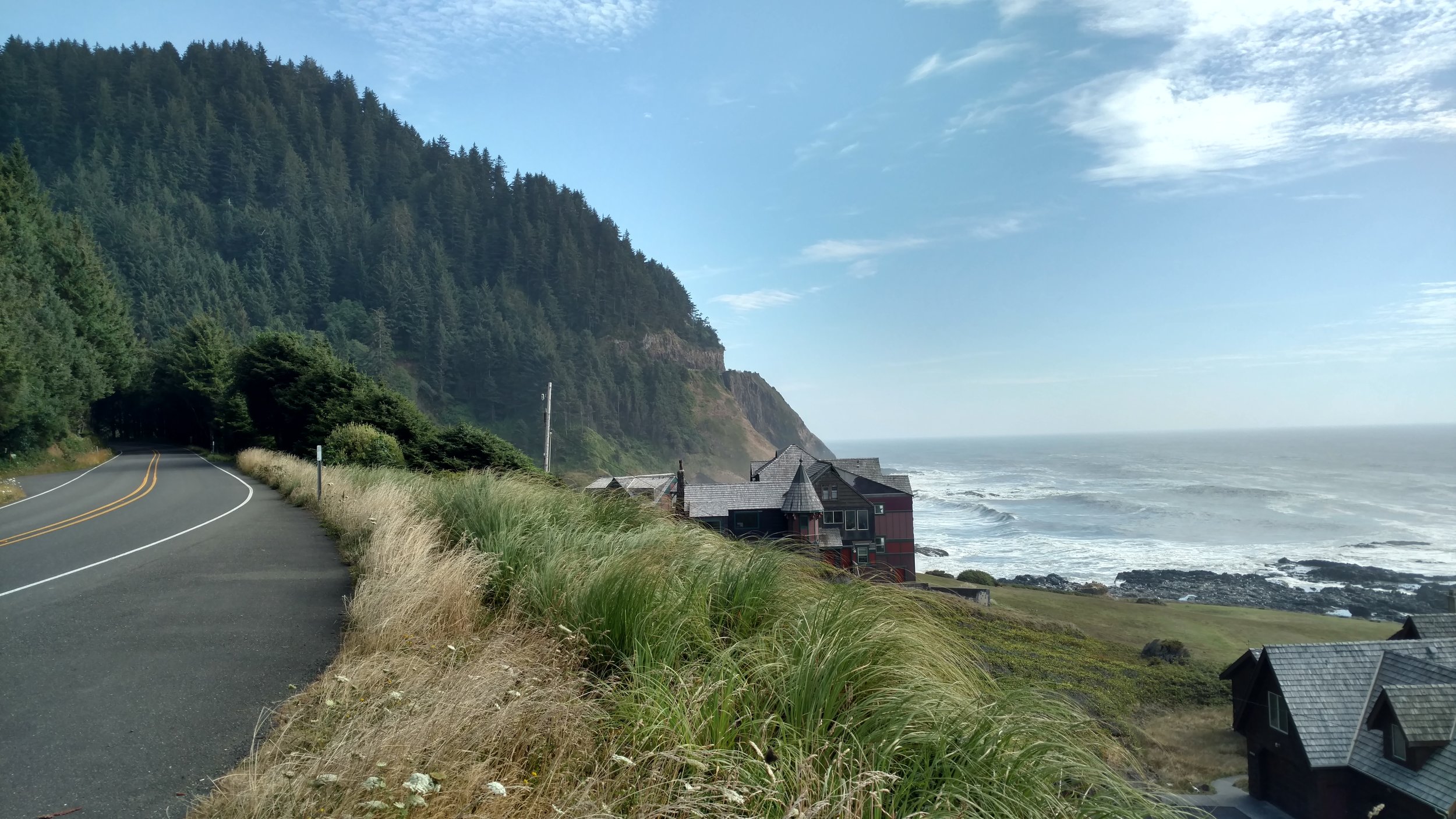
The four of us were packed and ready to go around the same time, and we were all headed toward the Bay Area as a destination. It was decided. We would ride out together. In order to ride toward the San Francisco from Samuel P. Taylor State Park there were two options. We could backtrack the way we entered then return to Highway 1 or we could continue on Sir Francis Drake Blvd eastward. We chose to continue eastward as two of the guys wanted to get to SF as soon as possible to check into their hostel and explore/rest for the day. It quickly became apparent these two guys were in shape after riding across the country! Their pace was pretty quick as I pushed more than usual to keep up. Unfortunately, the other solo rider from the UK wasn’t able to keep up so we said our goodbyes and continued onward.

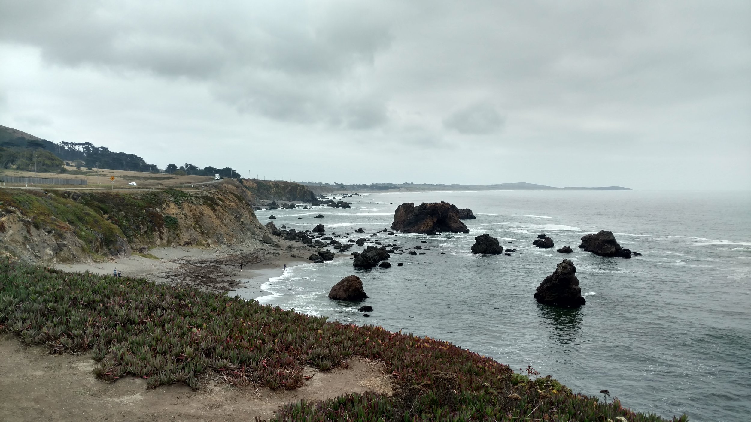
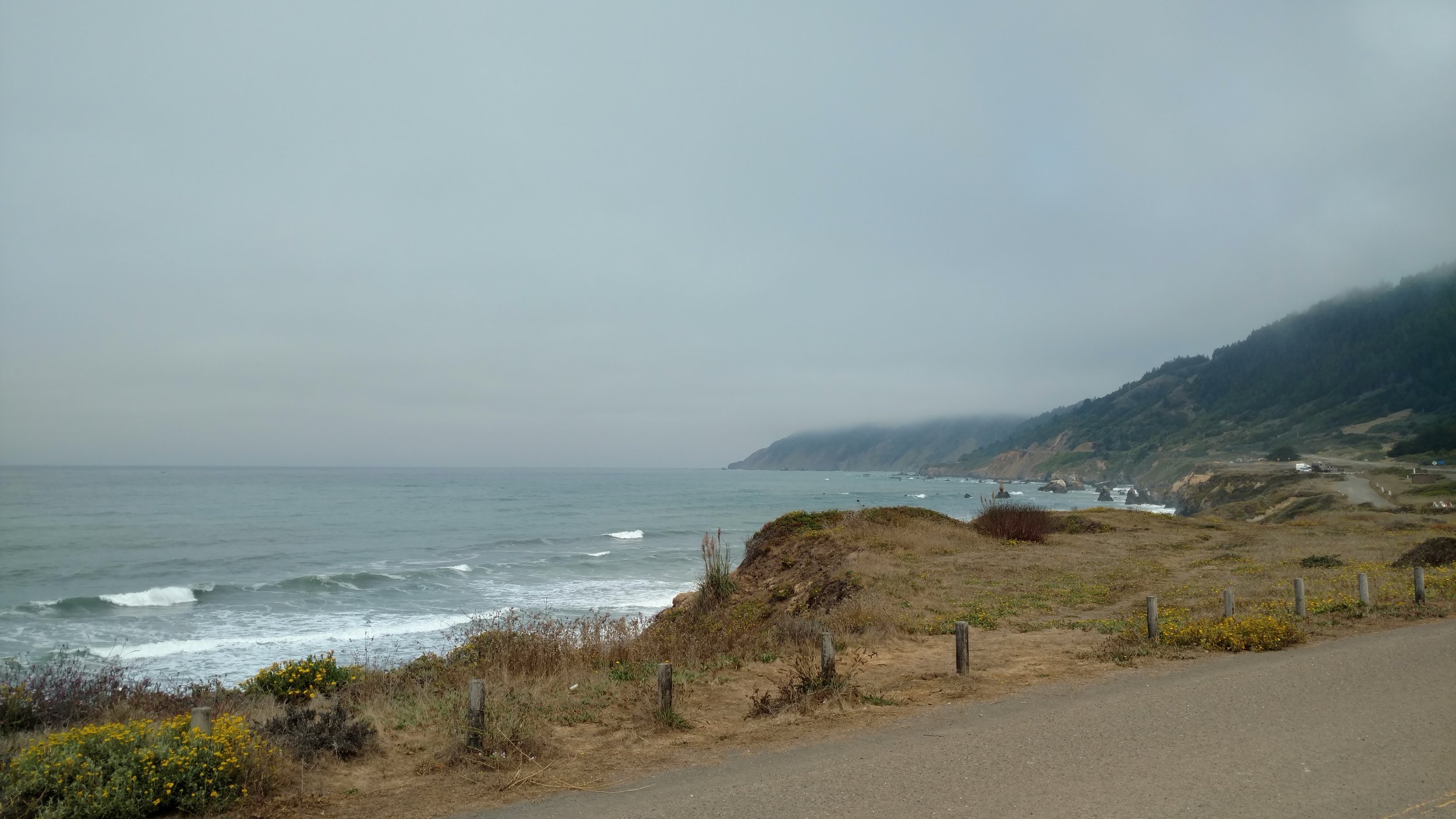
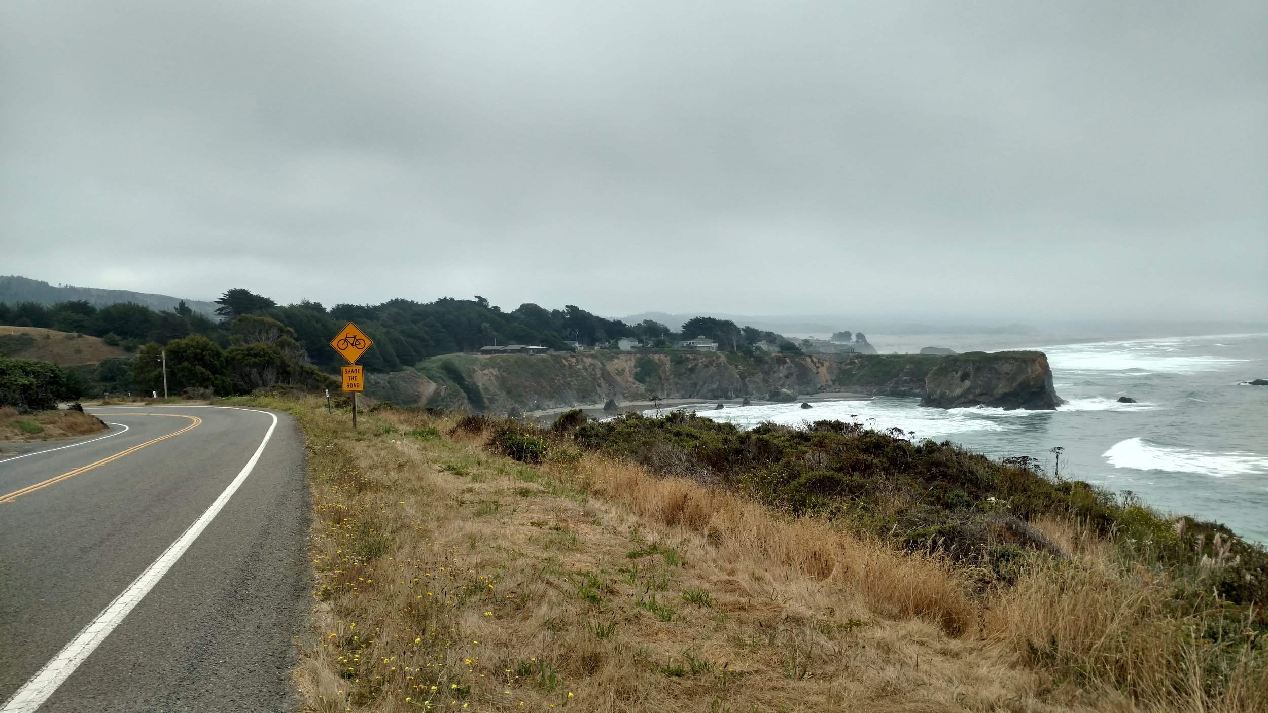
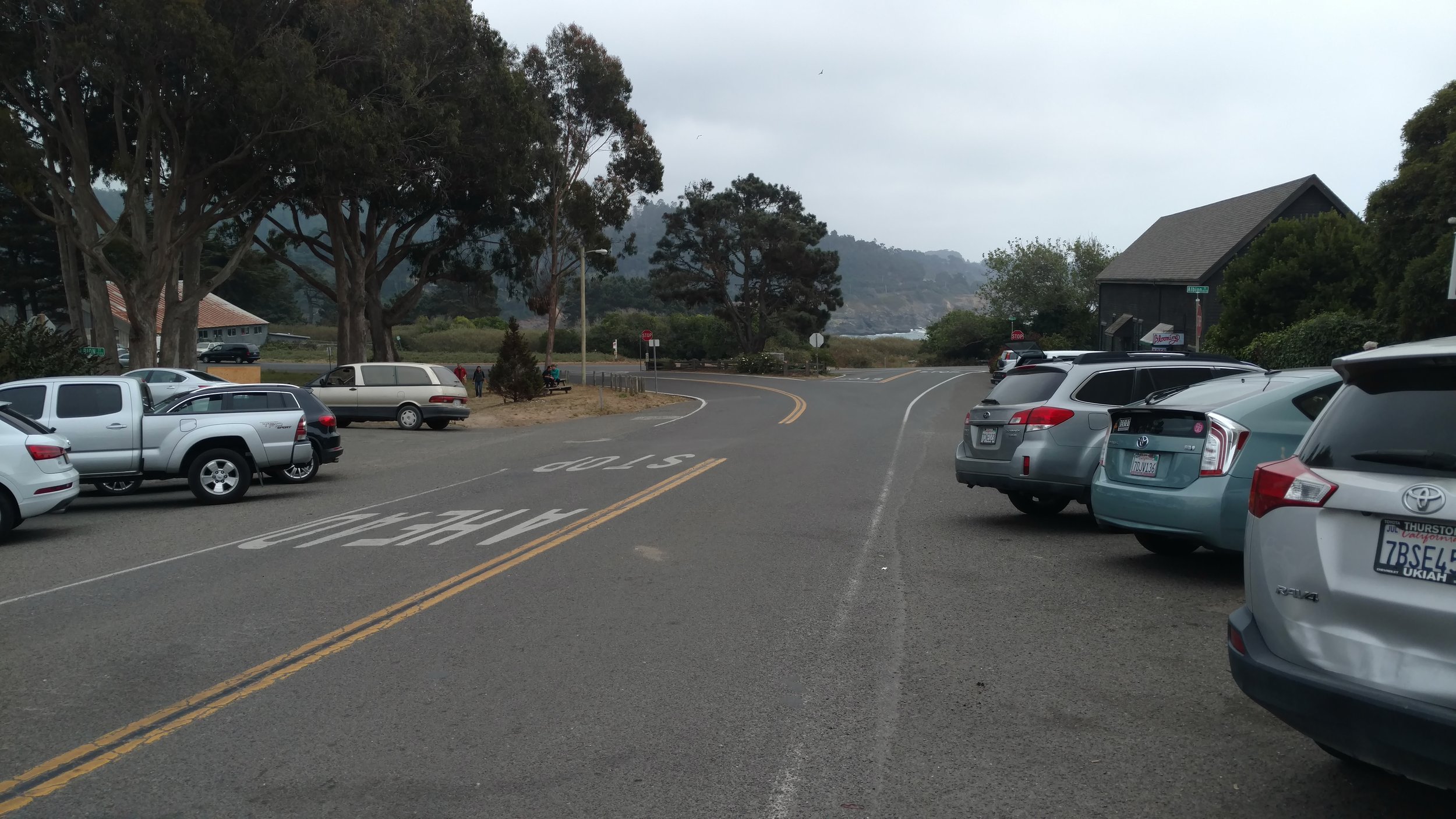
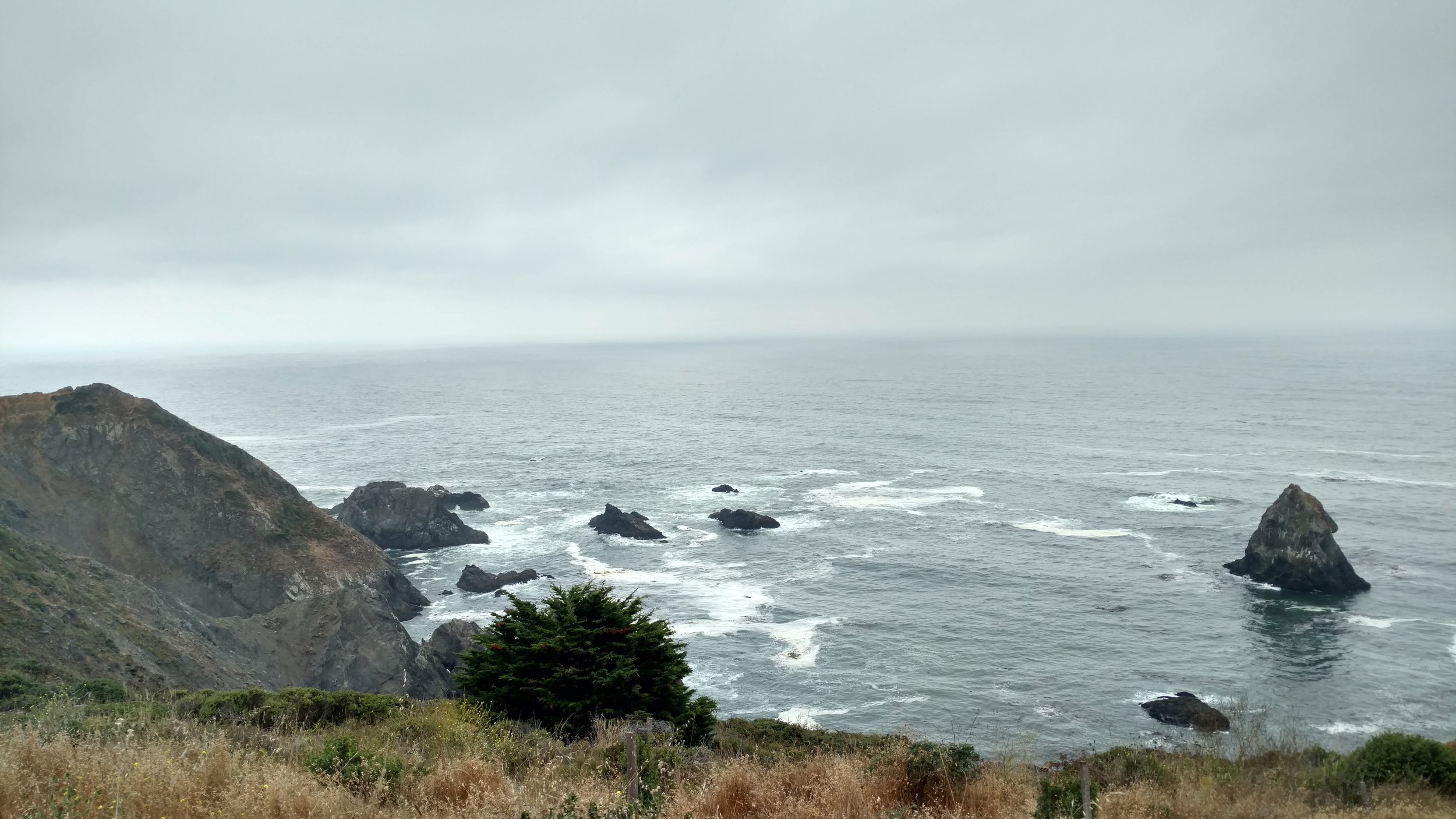
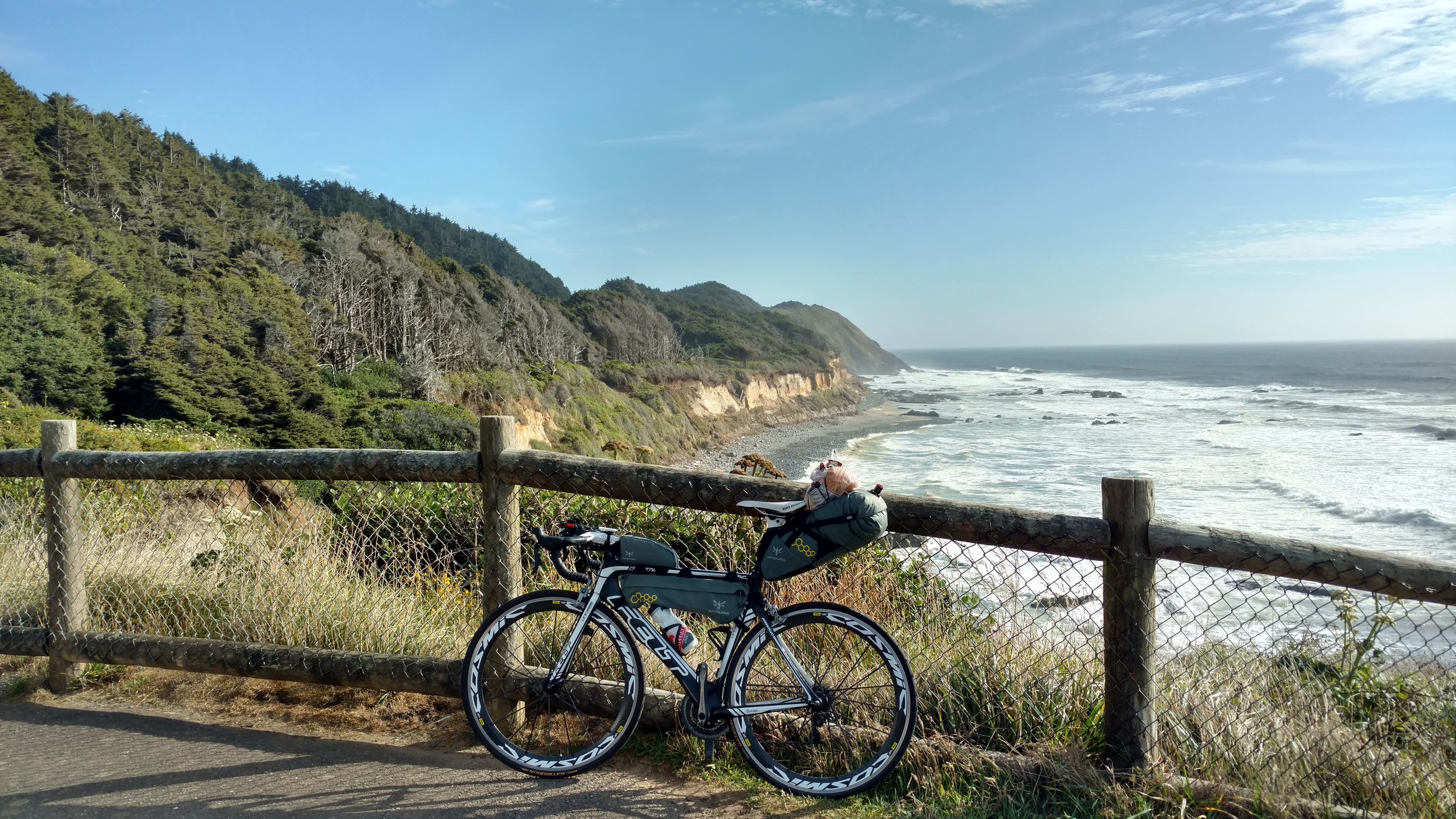
Soon enough, we rode through Fairfax and San Anselmo. None of us had the best idea of where we were going while navigating through these suburbs. The British guys had the same Adventure Cycling Association maps that I did, but referring to these on the go during traffic is a little challenging. Instead, I took the lead and used Google maps directions. This worked well and even took us up a good climb on Corte Madera Ave which had great scenery and a fun descent. Again, those guys had no problem climbing up the hill staying right on my rear tire the whole time. This route took us south toward Marin City and quickly through the beautiful Sausalito. This would have been the perfect little rest area for a coffee before approaching Golden Gate Bridge. Next time, we were on a mission to reach Golden Gate and SF as quickly as possible.

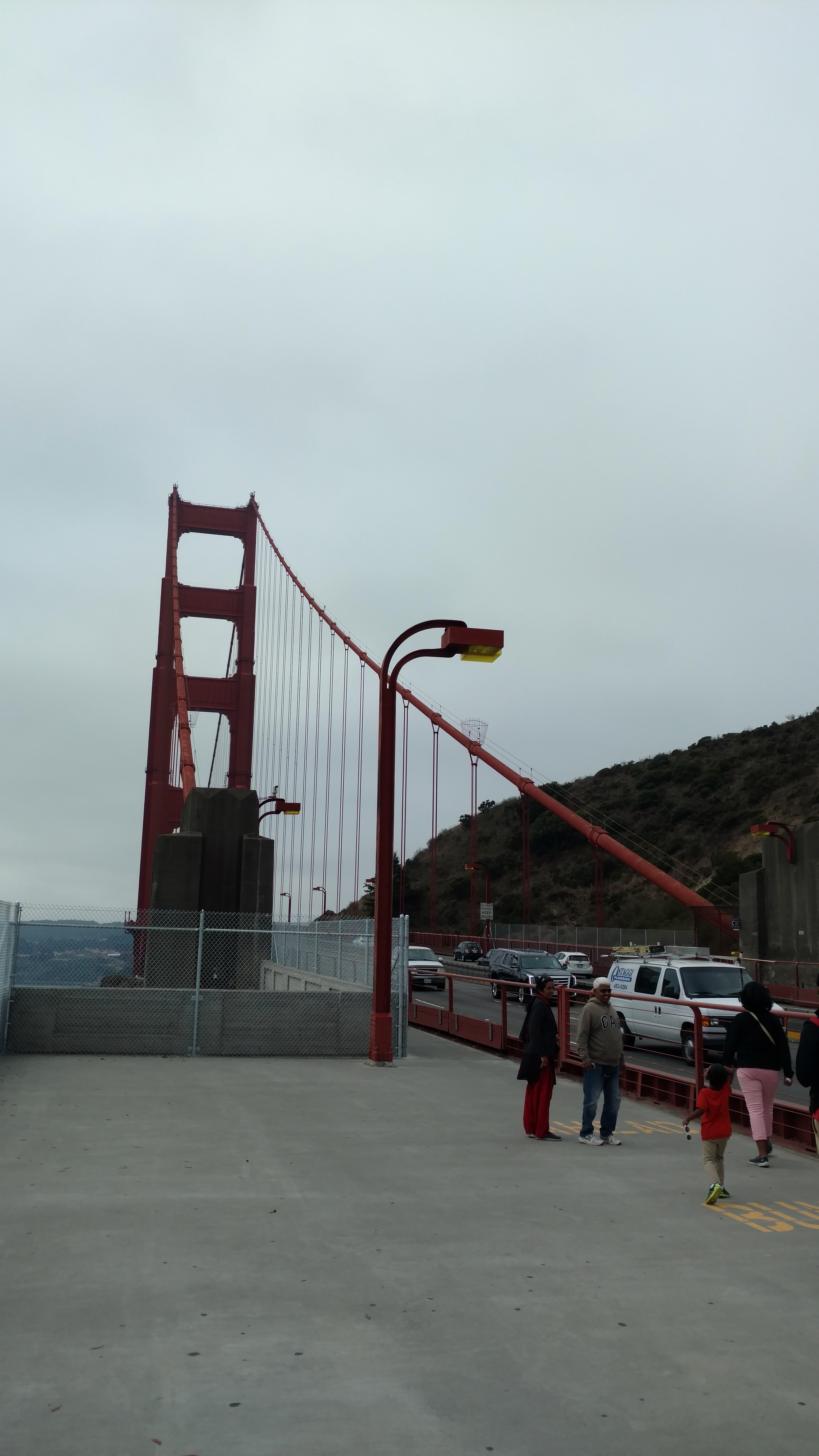
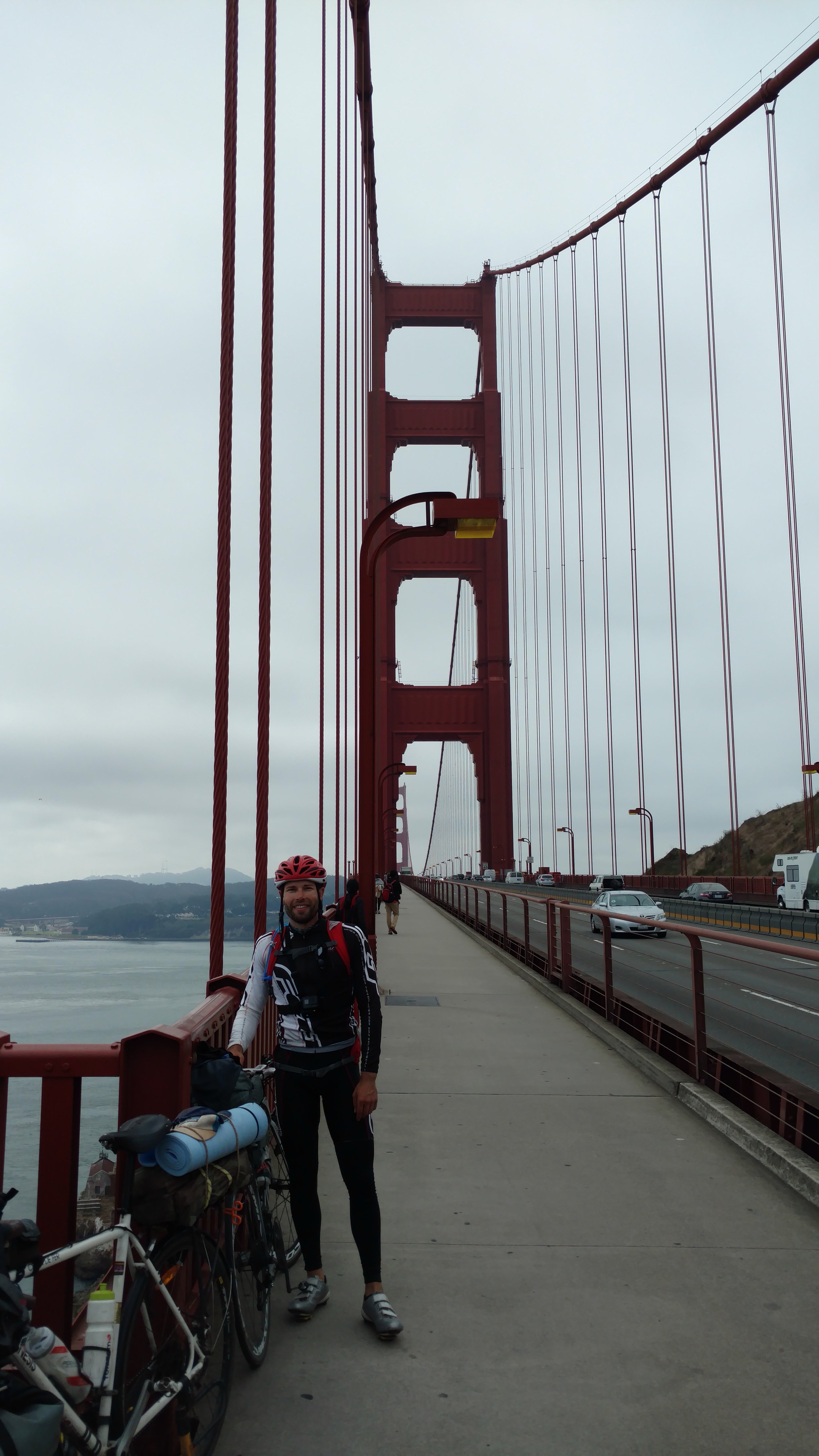
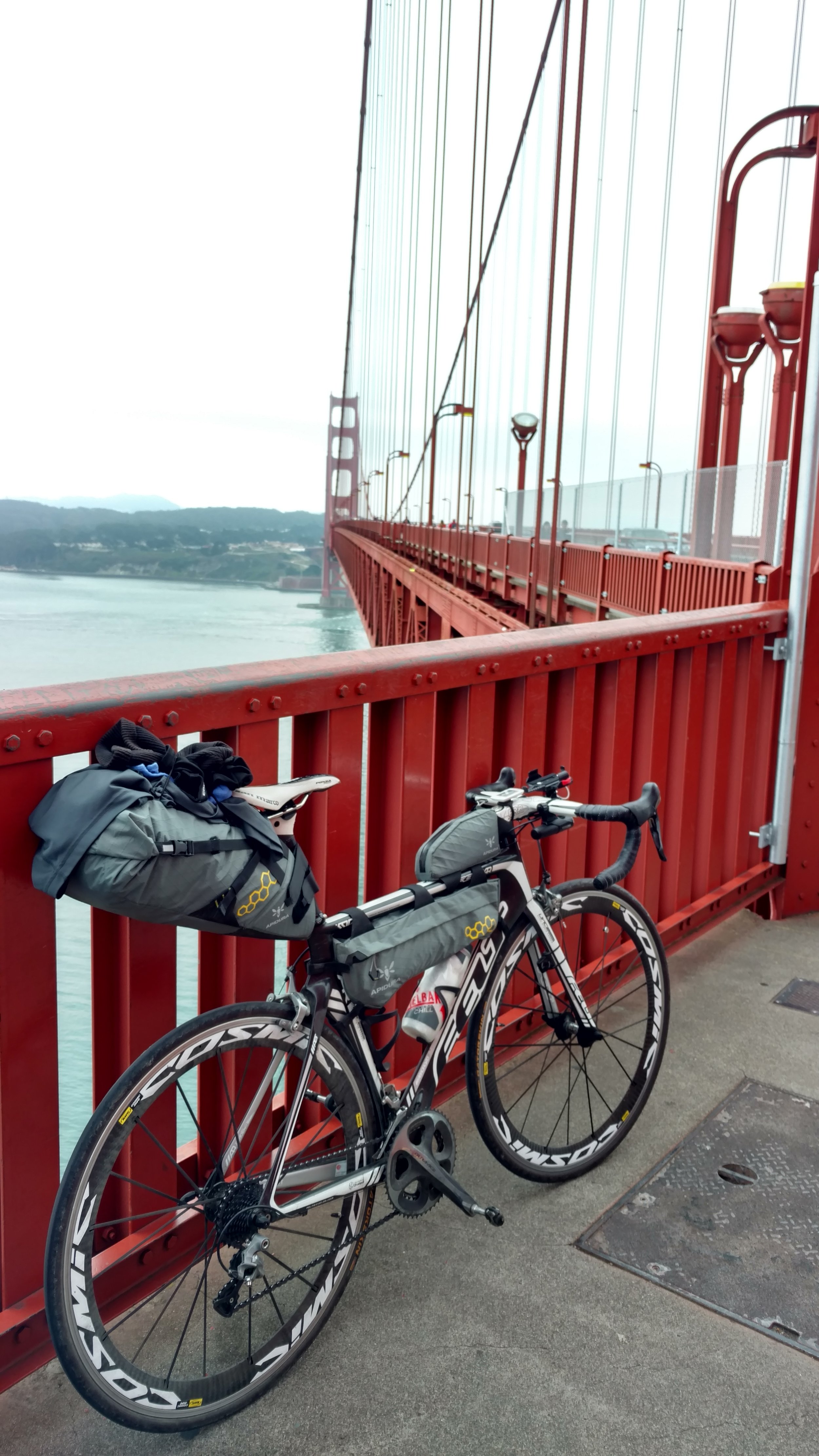
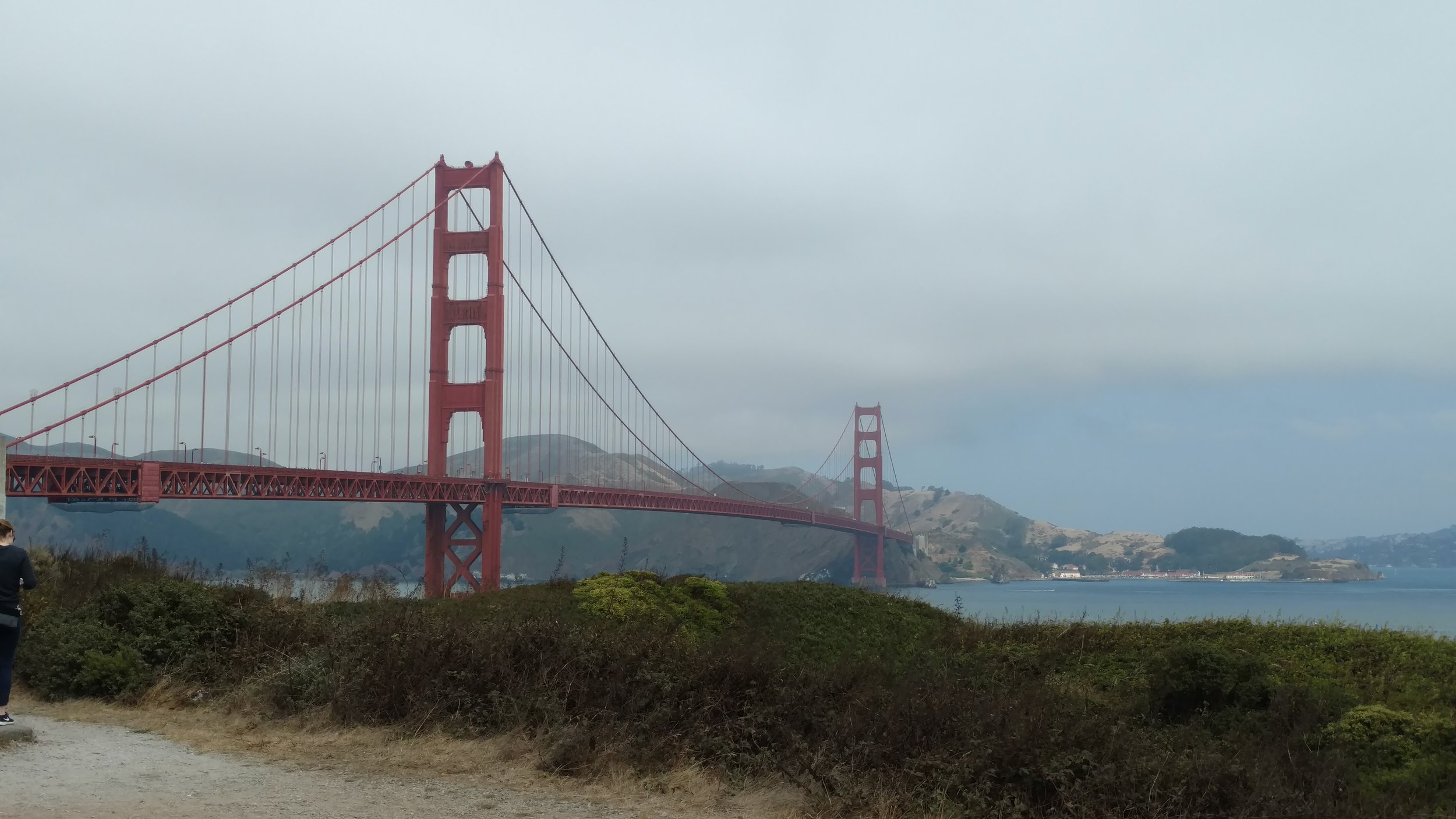
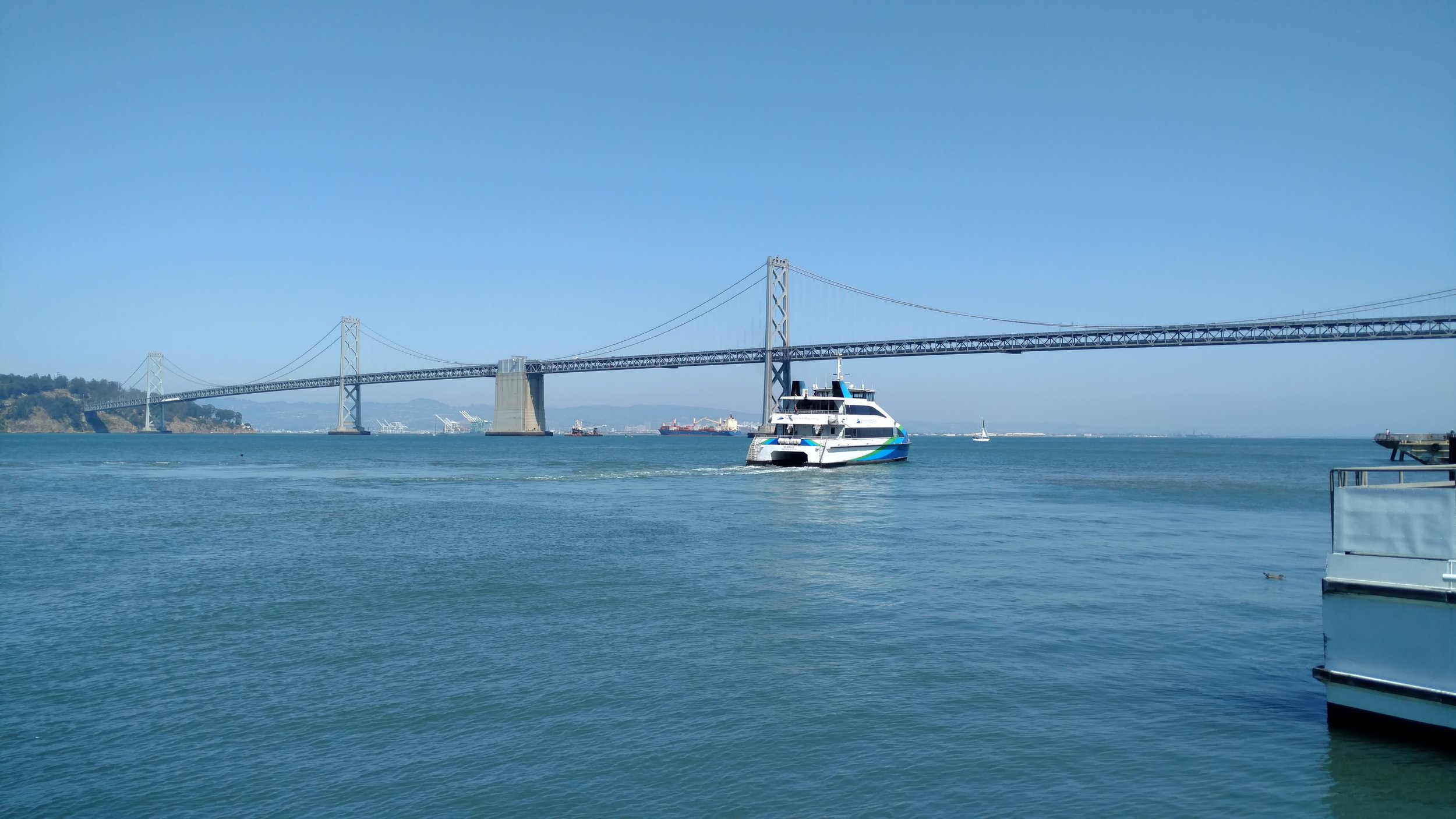
A short incline follows after departing Sausalito then the iconic Golden Gate Bridge makes its grand appearance. I had seen it once previously, but the others had not. Moreover, none of us had cycled across. One of the great things about the bridge is the dedicated lane for cyclist and pedestrians with their respective lanes. Once we began on the bridge we all stopped for some scenic landmark photos. At that time we said our goodbyes as they continued toward their hostel. I slowly pedaled across the bridge stopping intermittently in admiration and for more photos. Again, after reaching the other side I made sure to stop and capture some more memories as the view from this side was just as spectacular. And just like that, I was standing in San Francisco!

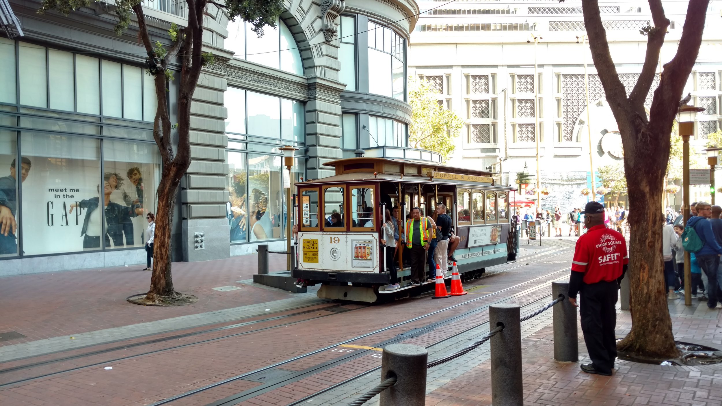
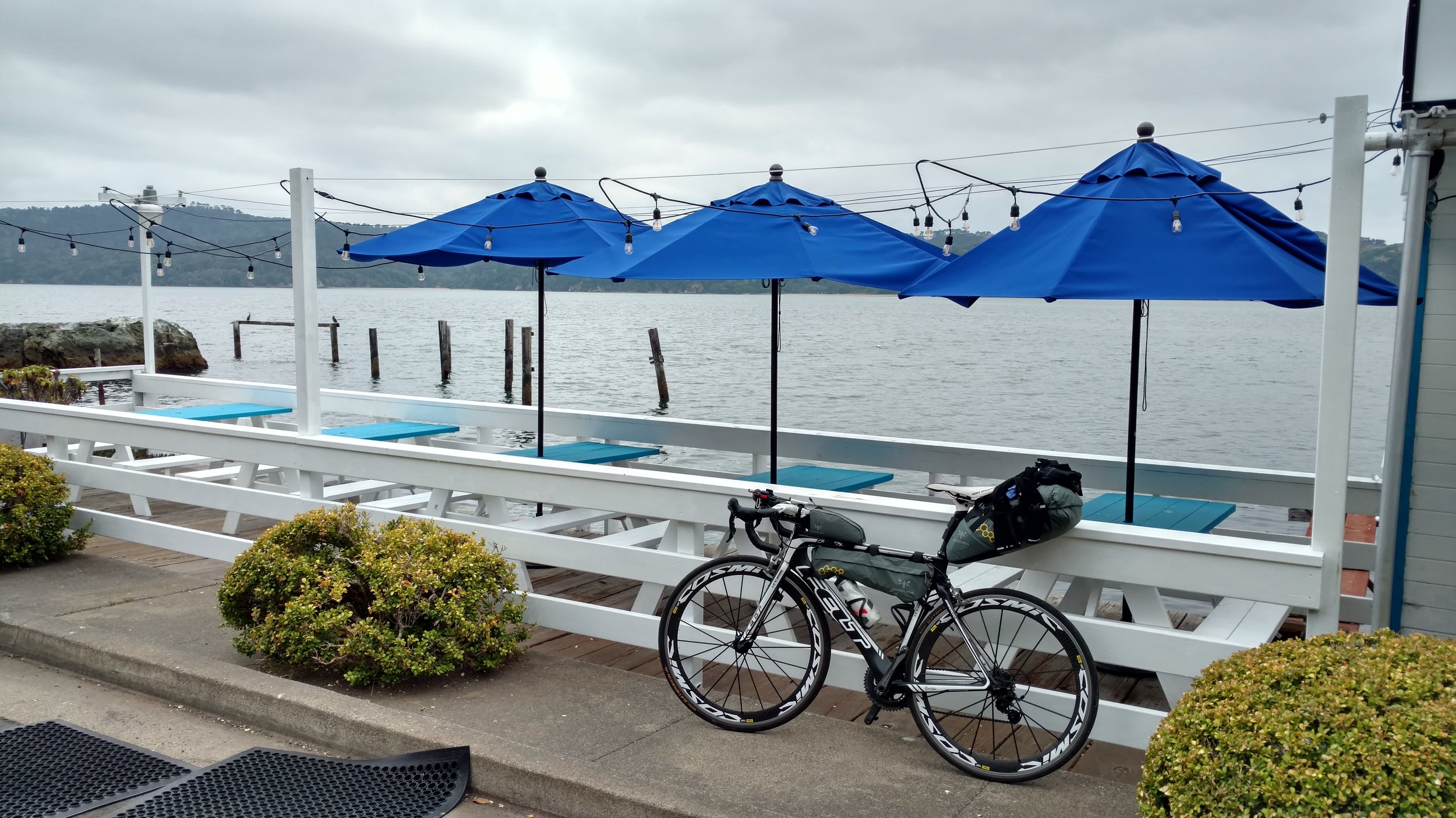
It was well before noon at that time, and I still had a lot of time before meeting up with my cousin late in the afternoon. For the first time thus far I found a good portion of extra time to casually explore and enjoy the surroundings. It couldn’t have been a better day either as the sun was shining and temps climbed to the 80s. I couldn’t have asked for a better city to explore. San Francisco is a gem and really bicycle friendly. Plus, there are plenty of hills for a nice challenge. Some highlights of the day included riding through Golden Gate Park, enjoying an ice cream shake at Ghirardelli Square, eating two double doubles at In-N-Out Burger at Fisherman’s Wharf, walking my bike through the Ferry Building Marketplace, enjoying a delicious coffee at Blue Bottle Coffee, and watching the historic San Francisco Cable Cars.

SF was indeed a real treat and remains one of my favorite cities overall. After all of the city touring, it was time for the best part of the day - meeting up with my cousin, Ida! She had been working downtown that day so it worked well to meet up and take BART to Oakland where she and her husband, Chris, let me crash on their couch for a couple nights. It is always great to see family, and Ida and Chris are exceptionally fun cousins. I was long overdue on laundry so that was first in order. Then they showed me around some of Oakland, and we had a fun meal with some of Chris’ coworkers. Staying at their place meant I’d be sleeping on their luxurious couch which, after many nights outside on picnic tables, felt like sleeping on a cloud of satin comfort.

Pacific Coast Tour: Day 13

Day 13: Gualala Point Regional Park, Gualala, CA to Samuel P. Taylor State Park, Lagunitas, CA


Approximate daily mileage ~ 90 miles

Approximate total mileage ~ 1,123 miles

Approximate daily elevation gain ~ 5,100 feet

Approximate total elevation gain ~ 48,300 feet

The large and well used picnic table served as one excellent bed as I had a great sleep after such a long distance ridden yesterday. The overnight temperature was very mild and my bivy provided great shelter from the dense mosquito population. By the time I woke up, the man from Austria had already departed. I was left with the entire hiker/biker campsite to myself. As usual, I took my time carefully gathering and packing my things. Although, this day was different. During the time I was packing a man approached me and offered for me to join him and his family at their campsite for breakfast.

Their campsite was just across the small road in the campground. They apparently saw me arrive the previous night, and they observed that I slept on the picnic table. The man’s name was Carlheinz. He, his wife, and two high school aged children were from Germany. They had taken a month to tour a good portion of the Pacific Coast and Pacific Northwest. It turned out that Carlheinz and his wife really enjoyed cycling as well and had done a great deal of touring about Europe. They frequently hosted people cycling around Germany at their home and offered for me to do the same in the future. As we conversed we had a breakfast of sausage, toast with jam, and tea. All was delicious, and the hot tea was a treat. What a pleasant and warm family! We exchanged contact information and both moved on toward beginning the day’s plans. I could not thank them enough for their warm gesture.

As I returned to my camp and was gathering the last of my things it came time to pack the remaining food. It is always best to store food in the bear/raccoon proof storage containers, and this is where I had placed everything in the dark the previous night. As I picked out the last of the items from the container I noticed a message carved into that shelf. The message read, “PEDAL HARD AND SMILE WIDE”. From that point forward that message really stuck with me. I’ll be the first to admit that up until that point the trip had a lot of great moments and also moments where a smile was not to be found. Although during that moment, that day, and throughout the entire remainder of the trip I couldn’t help but think - What could more aptly fit this day and the entire trip in general? Nothing. It was just right.

Indeed, it was an eventful day, and the ride hadn’t even begun yet! As if that wasn’t enough, there was one other very rare astronomical event. It was the day of a total solar eclipse! This is something that millions of people across North America had been awaiting and planning. I was no different. August 21st, 2017 was highlighted on my calendar nearly a year in advance. As I peered up at the sky there was a thick layer of clouds. There was a slim chance on the coast in this area to observe the eclipse. I still held out some hope. Even though, if it wasn’t visible through the clouds this day was already more than gratifying.

Around 10 am it was time to begin the day’s journey south. The pace for the day was slow and steady as I was making a great effort to cover a good distance toward San Francisco so I could have a relatively short way to go the next day and have some much needed rest. After covering well over 100 miles the previous day, my legs were far from feeling fresh. That, combined with frequent steep and winding roads, provided for another great and challenging day in the saddle of my trusty bicycle. The beginning of this day again felt very rural seeing little of the ocean at times and likely the fewest cars I would encounter on any single day of the entire trip.

The first stop was after about 20 miles on Highway 1 when I stopped at Ocean Cove General store. There I made a mini-feast of cinnamon rolls topped with peanut butter and a side of carrots. From that point Highway 1 returns to closely parallel the coast. What followed was approximately 28 miles of breathtaking scenery and breathtakingly steep hills combined with about 10 hairpin descents. I have yet to see the entire world, but if I had to make a guess I’d say this is a stretch of world class cycling any enthusiastic road cyclist would enjoy.

That stretch continues until the town of Bodega Bay which has a few restaurants and stores as expected in a small town. The supply of cinnamon rolls, peanut butter, and carrots continued to satisfy my appetite as I continued onward past town. Then the route of Highway 1 turns back inland and passes the tiny establishments of Valley Ford and Tomales. Shortly after Tomales more water is eventually seen as the road is directly adjacent to Tomales Bay. By this time the wind had picked up, and it was one of the rare times it was a straight-on head wind. The day was growing older. Even without being able to see the sun hidden behind the clouds the entire day, it was still clear our nearest star was quickly lowering beyond in the sky.

In hopes of reaching a campground for the night, I continued on. Finally, the town of Point Reyes Station appeared. What a welcoming sight this was! I had heard from Carlheinz that Point Reyes was a perfect town to stop and grab a coffee or pastry at one of their bakeries. It was a little late in the day for coffee (or so I thought at the time), and there were plenty of other restaurants and shops to grab something for supper. Point Reyes Station had a really cool essence as it still remains in my mind as a place which would be desirable to return. Toward the edge of town I came upon a sandwich and pizza place named, Whale of a Deli. It didn’t look like much on the inside, but they made one delicious and extremely large fresh burrito for me. While they carefully crafted it, I devoured some ice cream and sipped iced tea. When they handed me the burrito it felt like it weighed nearly 4-5 lbs! Into the backpack it went.

At this point I still wasn’t exactly sure where I was going to stay for the night, and it was nearly 7 pm. I called a campground not far out of town and asked them for availability. They had a tent site available, but it was $44. Having paid only $5 for top-notch state campgrounds in Oregon, $44 seemed awfully pricey. After talking with a local and checking my maps, there happened to be a state park, Samuel P. Taylor State Park, about a 10 mile ride out of town taking a road off Highway 1. It still wasn’t clear if they had hiker/biker campsites or reservation only, but it seemed like it was worth a try and really the best option at that point in time.

A couple more hills were in store for the ride out. It seemed really quiet with very few cars all the way out there. Any worries were quickly alleviated as gigantic redwood trees made another appearance and soon enough followed by the campground entrance. The office was closed after hours, but there were self pay envelopes. It was only $7. Perfect! So I wrote a check for $7 and pedaled into the campground. Sure enough, they even had a hiker/biker campsite. It was an impressive campground. There were numerous sites spread about and all were surrounded by a dense forest of tall redwood trees. I quickly came across the hiker/biker site and was welcomed by the site of three other cyclists already there. 

It was always great to have the company of other like-minded cyclists at the end of a long day on the road. They knew exactly what it’s like and had their own experiences to share. Oftentimes, they had great lessons or pointers as well. For example, two of the three cyclists at this campsite were from London. Their cycling journey began in Boston, Massachusetts. They rode all the way across the US to Seattle and south from there! They were planning to finish their trip in LA before flying back to the UK. The other fellow was also from the UK. He flew to Vancouver, bought a bike and all of his gear, and then started his journey toward San Diego from there. We all took turns trading stories. While the British guys were cooking a meal over their camp stove I was able to enjoy that massive burrito from Whale of a Deli, and it was absolutely delicious. The final decision of the night was where to sleep. We were all sharing the one picnic table, and there happened to be the most majestic redwood directly in the middle of the site. It was decided. I’d sleep right beside that tree sheltered from wind by the wide trunk and under its large overhanging canopy. Trying to savor the moment, I stayed up by myself far later than I should have. For all being well, tomorrow would end in San Francisco and Oakland.

Pacific Coast Tour: Day 12

Day 12: Standish-Hickey State Park, Leggett, CA to Gualala Point Regional Park, Gualala, CA


Approximate daily mileage ~ 109 miles

Approximate total mileage ~ 1,033 miles

Approximate daily elevation gain ~ 7,900 feet

Approximate total elevation gain ~ 43,200 feet

Day 12 began as I woke up on the top of the picnic table selected the previous night. This seemed to be the best sleeping option yet: the combination of the sleeping pad, the top of a picnic table to get off the ground, and warmer temperatures. It allowed for some intermittent deep sleep which was much needed and had been rare up to that point. As usual, I meticulously gathered and packed all my gear. During the time it took me to do that, eat a Clif bar, and drink tea, Neal and Thomas, the other cyclists, had done the same and departed ahead of me. All of us were heading south and we all knew what was ahead of us for the day.

What lie ahead was the single largest climb in one day of the entire Pacific Coast route. We all knew it, and Neal actually was looking forward to it as he enjoyed the challenge of climbing hills. All I could think of was how much energy I would be expending this day and that the store across the road had breakfast burritos on their menu which sounded scrumptious. So after refilling only my water bottle and very little in the Camelbak (to keep as light as possible) I made sure to stop immediately for the large breakfast burrito which did not disappoint whatsoever.

It was then time to hit the road. The uphill climb started immediately. I had taken extra time to stretch beforehand. The combination of stretching and the previous day’s saddle adjustments had my knee feeling okay with the muscles of my legs feeling fresh after a relatively low mileage day yesterday. The grade of the road was definitely steep, but it actually seemed quite manageable as I was able to get in a good groove and gradually kept moving at a good pace as the road curved back and forth upward. After not many miles I reached the point to turn right onto the start of Highway 1. If you happen to miss this turn and continue straight on Highway 101 you would be in for an even longer day. There was little traffic overall, and the traffic which was present kindly provided plenty of room while passing by. Eventually I caught up with Thomas and rode down one steep descent portion with him. Then on the next incline I continued on and caught up with Neal. We rode together for a short while, and I later moved on continuing yet another portion of the climb. The advantage of a carbon racing bike and little gear was again very evident in the hills.

As the mountain hills came to pass, the dense forest eventually did too. This meant that the coast was again nearby. Riding up the hills I had worked up quite a sweat and after the descent and the arrival of the cooler ocean air it felt quite a lot cooler. This is a constant changing factor with cycling – the layering of clothes to stay warm then removing them before getting too warm and sweating through all of them.

The ocean was a drastic change from the previous couple days and was a welcome sight. I stopped shortly after reaching the coast to enjoy the scenery and grab a quick snack. Continuing onward I was able to maintain a fantastic pace as there was little wind and the roads were rather smooth. The cool and wet ocean air felt chilly which was perfect with the right combination of clothes. There were numerous small coastal towns along the ride including Rockport, Westport, Newport, and also MacKerricher State Park before reaching the larger small city of Fort Bragg, California. By this time my hunger had returned and before leaving Fort Bragg I made a stop at McDonald’s. The reasons for McDonald’s stops on this tour were always twofold: quick inexpensive calorie dense food and electric hand driers in the bathrooms for drying my wet clothes. Then menu on this stop consisted of a McChicken, McDouble, and McGriddle breakfast sandwich – approximately 1390 calories worth of food. I’m not saying it’s healthy, but on a long day like this a lot of calories are necessary to keep going.

Upon leaving Fort Bragg with freshly dried clothes/socks and a full belly I came upon another cyclist. He was riding home after running some errands and was an avid rider around the area. He had done the Leggett hill many times and asked where I was headed for the day. I told him and he said it was at least 60 miles away and said it should be a good ride. The issue was that it was already nearly 2 pm. So at the best pace possible the ride continued with more gentle rolling hills the remainder of the way. Very quickly I came upon the town of Mendocino which I had been told was a fun little town to check out. With the day growing onward I debated stopping such a short distance after Fort Bragg, but decided to take advantage as it may be a long time before a return visit to this area. Indeed, Mendocino was a picturesque little town with numerous cafes, shops, and restaurants sitting right on the coast. I stopped for a great coffee and muffin at a nice little coffee shop named Moody’s Organic Coffee Bar. Great place!

Then it was time to really cover some ground with still over 50 miles to go. Immediately upon leaving Mendocino there was one of the many extraordinary views overlooking the sheer cliff on which the town is perched with the Pacific waves crashing loudly below. The next 50 miles seemed to blur together as they were a combination of intermittent steep grades followed by equal descents, many curving roads, and an incredible amount of rural scenery with very few other people around. There would be occasional cars and motorcycles with very little else. I stopped for a break after going around 20-25 miles. Thinking there was no one else around near this farmland I grabbed a snack and was startled to hear two people saying hello. There were two people under a shade tree enjoying some food with their bicycles parked just beside them! Asking them where they were going, they replied, “North…to Alaska. We started in Argentina.” WOW. Just as I was beginning to wonder what the heck I was doing and second guessing myself these two people appeared and instantly provided inspiration and reassurance.

The next twenty-something miles were spent thinking about those two people and what they must have encountered and overcome along their journey. Truly incredible. During this time the scenery of this stretch reminded me of home actually. Although hundreds of miles away there was a striking resemblance to the rolling hills of Madison County, Iowa with large stretches of farmland accompanied by the intermittent farm home.

At some point the smooth pavement turned to quite rough tarmac and my hands were really feeling every vibration through my stiff bike. In due course, the town of Point Arena appeared. A highlight of Point Arena is their lighthouse. Unfortunately, the closing time of 4:30 had already come and passed so I continued south with hopes of reaching the town of Gualala before 8 pm as that was the closing time of Gualala Supermarket. Sure enough, Gualala appeared and after a quick tour through the neat town I arrived at the supermarket with a big appetite. After locking up my bike outside I made a few select choices including carrots, 2 bananas, a 6 pack of cinnamon rolls, a jar of peanut butter, and a quart of chocolate milk. The milk was rapidly devoured as everything else was packed. It was only a few more miles outside town to reach the campground on the east side of Highway 1.

The Gualala Point Regional Park campground was a pleasant surprise with well maintained facilities, hot showers, and a great hiker/biker site tucked into the dense trees overlooking the river all for only a $5 fee. I was welcomed by only one other cyclist who was a friendly young man from Austria, and there was a great big picnic table to claim for a bed. I ate that evening’s meal in the dark using my headlamp for light as I snacked on carrots dipped in peanut butter and cinnamon rolls topped with the same. Simultaneously, this was the best opportunity to take a look at the map and plan out a tentative destination for the next day. During the planning and eating in the dark I was filled with a great sense of accomplishment for the day covering the greatest distance and greatest amount of elevation gain in one day of the entire tour. The feeling didn’t last long as the evening grew later. It was time for much needed rest to prepare for the next day of riding as many miles still lay ahead before reaching my ultimate goal of crossing into Mexico.

Pacific Coast Tour: Day 11

Day 11: Stafford, CA to Standish-Hickey State Park, Leggett, CA


Approximate daily mileage ~ 65 miles

Approximate total mileage ~ 924 miles

Approximate daily elevation gain ~ 4,100 feet

Approximate total elevation gain ~ 35,300 feet

The sound of a rooster crowing made for a unique alarm clock as the sun came up. I peeked outside my bivy to the pleasant sight of some blue skies and large redwood trees surrounding the campground. I ended up sleeping behind one of the tiny cabins to keep my battery backup plugged in to charge and within reach. It was a better night too as the low temperature did not seem to be as low as many previous nights. The cabins really were tiny. They couldn’t have been more than 8 x 8 feet with a small covered front porch. Just enough shelter to make a cozy home for a night.

Breakfast consisted of a PROBAR meal which is a tasty bar consisting of seeds, nuts, and fruits. After a little food I took some extra time on this morning to further adjust the saddle of my bike. As I was not so subtly reminded, only a few millimeters of change in the saddle position can have significant repercussions on the rest of the body after many miles of cycling. In my case the saddle height had slipped down slightly at some point and also moving it slightly backward in the fore/aft plane was needed. After moving it only a couple millimeters aft and upward I could immediately notice the difference and was embarrassed I hadn’t make the change earlier.

After packing everything up it was time to start pedaling along one of the most anticipated stretches of road among the entire trip. Only about 1.5 miles along Highway 101 passed until reaching the entrance to Avenue of the Giants. This extraordinarily scenic stretch of road is about 31 miles of old Highway 101 prior the construction of the current bypass. It meanders through over 50,000 acres of redwood groves with the oldest more than 950 years old and the tallest about 370 feet tall! It was a truly beautiful day with far less smoke and fog than the previous day. Immediately upon starting down the road there were large fields of sunflowers in the most scenic setting. Shortly thereafter the vast groves of redwoods appeared in all their glory. The views did not disappoint as the well maintained road gently curved through the forest with trees close enough to the road to reach out and touch at times. Breathing in the distinctly fresh forest air and enjoying the wonderful views there was a grin permanently affixed to my face this day.

Before long I came upon what appeared to be a local café. It happened to be right by the “Eternal Tree house” which is a tree house built into the stump of a previously felled tree. The café here turned out to be a perfect choice as they served massive pancakes and delicious breakfast sandwiches. They even accidentally made an extra pancake which I did not let go to waste. Then the gorgeous ride continued with little traffic overall and a peaceful feeling. A few stops were made to gaze upward in awe, snap a few photos, and shed layers as the temperatures increased. Along the road there are numerous places to stop and hike along with some other attractions such as the Shrine Drive Thru Tree. In what seemed like only a few minutes the south entrance of the Avenue of the Giants appeared and the route returned to the main Highway 101 with about 30 something miles to go before my goal destination for the day. The entire day was a gradual uphill climb of about 4,100 feet overall. Luckily, my knee wasn’t any worse and actually felt okay at times.

Along the way I made two stops – one at a gas station for a sports drink and the second in the town of Garberville to pick up one and a half foot long sandwiches at Subway for dinner. It was always a good idea to plan ahead for food just in case there wasn’t anything available near the campground at night. The challenge was fitting one and a half Subway sandwiches in an already crammed full backpack. Fortunately, somehow it always seemed to fit. After continuing onward the remaining stretch of the 101 curved nearly continuously following along the south fork of the Eel River. Oftentimes, there were spectacular views of the river far below the road. With about 10 miles to go before the campground I saw people swimming in the river and waving at me. It looked ever so tempting to stop, climb down, and join them as this day had really warmed up in the summer sun.

Only a few more miles uphill and I had reached the Standish-Hickey State Recreation area and campground. It was a really great campground as I was pleasantly greeted by the park ranger and claimed an open picnic table at the hiker/biker area. This hiker/biker campsite was especially accommodating as there was a covered shelter area, place to hang wet clothes to dry, phone charging station, and nearby showers/bathrooms. There were also plenty of mosquitoes, but as someone who grew up in Iowa with copious mosquitoes in the summer I could avoid too many bites by staying covered and continually moving. This stop was really great as I had a chance to do a little laundry in a sink near the bathrooms and hang up everything to dry in the low humidity air.

At this campsite I also found Neal, a fellow cyclist, whom I met two nights previously. He too was heading south, and his final destination was San Francisco. He had discovered a great swimming area in the park a short walk down from the campground in the river I had been following along the 101 the second part of the day. He happened to be a bike mechanic and graciously took a look at my bike as well as another fellow cyclist’s bike for any mechanical issues. I was pleased to see that he didn’t find anything wrong with my bike of which I wasn’t already aware. We all shared stories and information with each other about upcoming plans and routes.

Later, we eventually made our way out of the campground and across Highway 101 to visit a general store which was a great surprise. This store was fully stocked with all sorts of food, snacks, and a lot of unique souvenirs. I selected an ice cold root beer, chocolate milk, green tea, and Clif bars in preparation for the next day which involved the biggest climb of the entire Pacific Coast route. Sipping on that root beer couldn’t have been more refreshing reflecting on such a truly wonderful day following such a trying day just one day before. This trend seemed to be an ongoing theme for the trip – one difficult aspect or obstacle would always be surpassed by an experience doubly gratifying.

Pacific Coast Tour: Day 10

Day 10: Elk Prairie Redwood State Park, Orick, CA to Stafford, CA


Approximate daily mileage ~ 88 miles

Approximate total mileage ~ 859 miles

Approximate daily elevation gain ~ 3,500 feet

Approximate total elevation gain ~ 31,200 feet

As far as comfort goes, the first night with the lightweight sleeping pad did not disappoint. However, it was another cold night which caused me to awake shivering multiple times. Soon enough I would be further south with warmer nights or so I convinced myself at the time. Once the sun arose and much time was spent gathering my things and refilling water containers I then spent some more time conversing with the larger group of cyclists about their daily plans. They planned to traverse about 40 miles this day which was about average for them. I also met a kind young man who actually shared a small portion of my large campsite. He too was sleeping in a bivy on the ground, although he had a sleeping bag in addition. His journey took him from his home in San Diego northward mostly by bus until he recently purchased a bicycle as he found it made his planning much more flexible. He described his trip as “self therapy” after what sounded to be a bad car accident earlier in the year.

By the time everything was packed and goodbyes to fellow travelers were said it was nearly 10 am. The day began slowly and continued at the same steady pace all day in attempt to reduce further aggravation to my knee. At my first stop for coffee about 10 miles into the ride two of the Swiss men happened to stop as well. The one with extensive experience with long tours in the past had dealt with similar knee pain. He reminded me to stretch fully each day and also suggested readjusting my saddle position. Both were very good points that I knew but had neglected to do until that point in time. After spending an extra five minutes stretching and changing the saddle height I was back on the road.

The conditions for the day were a combination of fog and smoky haze. It was astounding to see the widespread impact of the large forest fires. This day I followed a combination of the routes suggested by the Adventure Cycling Association maps and Google maps which led to taking some very rough roads early on. Had it been a clear day the rough roads would have been rewarded by incredible views. On this hazy day the views were significantly limited. The vast majority of the first section of the day was rural riding through continued stretches of redwood forests before returning toward the coast after the tiny town of Trinidad. The next stop of the day was in Arcata, California about 43 miles into the ride.

The previous day I began to hear a loud noise from my rear wheel at times while coasting during descents. The sound immediately disappeared upon resuming pedaling. The same symptoms continued on this day. So I looked up the nearest bike shop and found Revolution Bicycles in Arcata. The staff there was outstanding as they quickly confirmed that it was likely the freehub on my bike making the awful sound. For a low price they quickly took a look at my bike, disassembled, cleaned, and re-oiled the freehub. They even let me charge up my phone, looked up the part number of a new freehub if one would be needed for replacement in the future along the ride, and recommended a good place to eat nearby!

After eating an omelette and pancakes at the recommended restaurant it was nearly 3 pm, and there were still many miles to go before reaching my goal for the day. The goal was to get as close to Avenue of the Giants as possible so I could really enjoy it and take my time riding through the next day as I had been looking forward to that stretch of riding since the trip started.

It was past time to get back on the road. Leaving Arcata there is a nice route to take in order to get off the busier Highway 101 for a while. The lower traffic route is taking Highway 255 west around Arcata Bay then crossing a bridge to Indian Island then another bridge directly into Eureka. Riding through Eureka seemed like riding through any small city with a decent amount of city traffic. I made a quick stop at a fast food restaurant to pack a couple sandwiches for later in the day in case there wasn’t anything else for food readily available. Surprisingly, a couple of fast food chicken sandwiches remain fairly tasty after being stuffed in an already full backpack for 4-5 hours!

By this time my left knee had reached about the maximum pain of the entire trip, and I still had about 30 miles to go before a campground on the map just outside the very small town of Stafford. There were some route options to deviate off Highway 101 occasionally. However, the remainder of this day I chose to continue on the main highway as it seemed to have less hill climbing involved. This isn’t to say there weren’t still some large hills, but on the 101 they seemed to be more gradual. I really just wanted to get to a resting point for the night. Luckily, the miles seemed to go by quickly, and there was little traffic on the main highway. I stopped for a short moment and spoke with my brother, Jeff, who was kind enough to be shipping a new tire and tube to my planned stop at my cousin’s place in Oakland. Additionally, there were some very high bridge overpasses making for great scenery as my knee continuously screamed to stop and give it a break.

About an hour before sunset I finally came upon the exit for Stafford and made my way to Stafford RV Park nearby. The older gentleman working said I could have my choice of all the tent camping sites as there was no one else there yet. He also directed me to use the outlet outside one of the tiny cabins to charge my phone and battery back-up – both of which were completely depleted. The RV park had a few RVs although by no means was it full. It was a relief just to be stopped at a point where I could safely unpack a couple things, rest, shower, and recharge my phone/battery back-up. Not to mention, those 4 hour old chicken sandwiches tasted like food served from a Michelin-starred restaurant by that time. This was one of a number of days along the journey that was especially trying. There was still a long way to go, my knee was extremely bothered, and much of the day was spent chugging along in hazy conditions. Even though, there was much more for which to be grateful – the team at Revolution Bicycles, no flat tires, minimal traffic overall, food, warm shower, safe place to sleep with a sleeping pad, and a new day tomorrow with one of the absolute highlights of the entire tour, Avenue of the Giants.

Pacific Coast Tour: Day 9

Day 9: Harris Beach State Park, Brookings, OR to Elk Prairie Redwood State Park, Orick, CA


Approximate daily mileage ~ 67 miles

Approximate total mileage ~ 771 miles

Approximate daily elevation gain ~ 2,900 feet

Approximate total elevation gain ~ 27,700 feet

Startled by the sound of an uncomfortably nearby growl, I awoke only a couple hours into my slumber to find a curious raccoon investigating me and my campsite. The creature was apparently doing its nightly rounds for food, and it quickly scurried off after shining in the spotlight of my headlamp. The remainder of my last night in Oregon was spent yet again on the ground in my bivy making the best of my extra clothes being used as strategically placed pads near my hips and shoulders. Upon sunrise I slowly gathered my things during which time all the other cyclists departed ahead of me. One of the definite advantages of packing light and riding a racing bike is the flexibility to spend more time at your destination because you’re able to more easily cover miles while riding.

Prior to departing I was sure to stop and admire the scenic overlook of the ocean at Harris Beach State Park. It provides another stunning example of the beauty of Oregon’s Pacific coast. I couldn’t have been more thankful for the incredible stretch of riding and places to camp in Oregon. It really could not have been better and was the perfect way to begin the ride into California the same day. From that point after riding back through Brookings, Oregon it is only approximately 10 miles to the Oregon-California border. Following the departure from Brookings is a long stretch of very rural and scenic riding. Cycling across the checkpoint of the two bordering states brought a real feeling of excitement as I had only one more state until reaching my goal destination of Mexico. On the other hand, California is a very long state, and by this time my knee had become significantly more inflamed and painful at each pedal stroke.

Constant adjustments were necessary the remainder of the day in attempt to alleviate the knee pain I was experiencing. Even though, this did not seem to take away from the beauty and enjoyment of the ride. It did slow the pace. Luckily, this was planned to be a shorter distance day with plans to do some laundry in the first stop town of Crescent City, California. At the pace I was going, by the time I casually arrived in Crescent City I had ruled out any chance of laundry being done. Who really needs fresh clothes which only last for a day anyway?

Crescent City was a delightful stop for a couple reasons. One was that I hadn’t eaten more than a Clif bar for breakfast and there was a Denny’s restaurant with impeccable service who served a feast of pancakes, fruit, eggs, and coffee. Second, and even more importantly, there was a Big 5 sporting goods store a couple miles into town which had a few lightweight sleeping pads in stock! It was finally time for sleepless and uncomfortable nights to come to an end. Big 5 had the perfect compact ultra lightweight inflatable sleeping pad for an even better price. Splendidly proud I was to make such a purchase on the way to sleeping on cloud nine the remainder of the journey.

New sleeping pad packed, I was on my way out of Crescent City. Other than Crescent City and Brookings, the entirety of the day consisted of rural scenery along Highway 101. Some was near the coast and other times the route coursed inland through Del Norte Coast Redwoods State Park. When the route turns more inland it came with an approximate 1,200 foot climb. At that time I came upon another touring cyclist chugging along. We exchanged smiles as I passed him as said hello. He was looking even more pleased than I. As it turned out we would be stopping at the same campground as we shared a meal later than night with a larger group!

After that large hill it was a relief to relax on the descent and enjoy a section of relatively flat ground passing by some of northern California’s celebrated redwood trees and even a large Paul Bunyan statue at an attraction called, Trees of Mystery, which also features a tram. Carefully and slowly riding along, I stopped at one of the few gas stations which happened to contain a great deli section serving outstanding sandwiches. Naturally, I ordered the largest possible to pack in my bag for an evening meal. A few more miles and the turn for the campground appeared – Newton B. Drury Scenic Parkway. It begins with one last smaller climb for the day along the 10 mile road. This is where I had my first taste of the ancient coastal redwoods through the heart of the old growth forest. The setting was absolutely spectacular, calm, peaceful, and serene. After reaching the peak of the last small climb the downhill cruise on the smooth surface tarmac was pure bliss all the way to the fantastic campground.

Elk Prairie Redwood State Park contains a wonderful campground which was rather busy on this night. There was a large group of cyclists riding with Bike MS which is a fundraising cycling series of the National MS Society and raises more money than any other cycling event for any other cause. After speaking with two of the ride leaders it seemed to be something in which I could easily participate in the future. They also inspired and sparked other ideas for fundraising efforts of my site, Blue Water Bicycles, supporting its mission.

After meeting the friendly Bike MS guys it was time to make my way to the hiker/biker campsite. Again, it seemed they made special efforts to tuck these sites into natural unaltered spaces within the campground. Upon claiming an unused picnic table I came across a group of six other tour cyclists. This turned out to be an inspiring group of 2 pairs of friends and 2 other solo riders who were on similar routes riding similar miles each day. They had accidentally met up and continued to meet up each night for the past week. I quickly showered, aired out some clothing, set out my bivy, and consumed my previously packed enormous deli sandwich. I then went for a walk in attempt to stretch my knee and muscles. During the walk near the entrance of the campground was a valley of prairie where there were numerous large elk grazing in the not too far distance. After enjoying their tranquility I returned to the group of fellow cyclists.  

This was a diverse group consisting of the one German man I had passed earlier in the day, an Irishman, 2 Swiss guys, and 2 American guys. This was one of many favorite nights of my tour. Each of them had interesting backgrounds and experiences on their trips. One of the Swiss guys had done nearly 15 other tours similar to this all around the world. They offered and insisted on giving me a beer, and they made a lot of extra food to share with me again. I didn't want to be rude and both tasted incredible. After many stories and tips were traded it quickly became dark and was time to get some sleep for the night. The first night sleeping on an air mattress had come, and I was nearly giddy with excitement! It easily inflated with a simple built-in manual pump, and it took less than a couple minutes to drift off to sweet dreamland.

Pacific Coast Tour: Day 8

Day 8: Bullards Beach State Park, Bandon, OR to Harris Beach State Park, Brookings, OR


Approximate daily mileage ~ 90 miles

Approximate total mileage ~ 704 miles

Approximate daily elevation gain ~ 4,400 feet

Approximate total elevation gain ~ 24,800 feet

Another night spent on the ground waking up before sunrise in a chill, yet this time it wasn’t nearly as cold as some of the other nights. It was a welcome feeling knowing that, however slow the progress, I had made it a significant distance south since departing Vancouver and crossing the Canadian/US border.

Once again, the Oregon State Park system did not disappoint as I was able to enjoy a hot shower after crawling to my feet and wandering in the dark to the heated shower shelter. Another pleasant surprise to start the day was a hand dryer! By this time all my gear had returned to a state of near saturation from a combination of sweat and condensation. It does take a little time in order to dry each individual article of clothing, but like I’ve said earlier, it’s well worth it for the reward of comfort the remainder of the day.

By this time about half of the cyclists in the completely full campsite were up and in the process of packing and getting on the road for the day. One man in his 70s had ridden his recumbent from his home in Seattle down to LA then to the Grand Canyon and finally was heading northward back home. He told me a few of his stories while I ate a banana and peanut butter sandwich. He described how much of the time he ended up camping in inconspicuous locations such as behind churches or on farmland. He had been met with nothing but kindness and not once did anyone have a problem with him staying on their land for a night. There was also a group of four French men who were riding south to San Francisco as a group. We both took time to admire each other’s bikes. Again, they were astonished at what little I had packed on my race bike while they rode heavy touring bikes with much more equipment. They left much earlier than I, but we later met again as I passed them down the road.

After all others who were awake had left and everything had been secured and packed in its proper location I departed. Outside the campground within the state park is Bullards Beach which is a calm area nestled in the bay near the town of Bandon. I then crossed the bridge on Highway 101 over the Coquille River which leads directly into Bandon. There I explored Old Town Bandon on the bay which has a number of shops, eateries, and a small marina. Then it was time for the ride to really start for the day. By this time the soreness in my knee seemed to have been increasing every morning only relenting after about 10 miles of gentle riding and warming up. This again seemed to do the trick as I pedaled on the 101 mostly passed a combination of farm and forest land about 17 miles to Langlois where I stopped for coffee at what appeared to be the only gas station in town. It was also the first place I saw in the small town. After departing I saw there were two other establishments, Floras Creek Coffee and Greasy Spoon Café, both of which appeared to be excellent and very busy. There’s always next time!

The very rural route continued for 13 more miles on roads in pretty good condition with minimal traffic until arriving in the town of Port Orford, Oregon. Port Orford appeared to be a somewhat larger town with nearby Port Orford Heads State Park and the historic Battle Rock. Here, I stopped for replenishment at a bakery and coffee shop, Tasty Kate’s, which had very colorful exterior as well as interior art all around. Best of all, they had enormous fresh cinnamon rolls and great coffee! Then, just before leaving town, is Battle Rock which is a beautiful site overlooking the beach with rock formations nearby in the water. The Battle Rock name comes from a historic battle between the Qua-to-mah Native Americans and Capt. William Tichenor’s men in 1851. Visitors are able to hike out on Battle Rock for even more of a view where whales are also known to be spotted.

After departing Port Orford, the welcome feeling of a gentle tailwind returned as did sunny skies and warm temperatures. These were the warm temperatures I had anticipated as the week prior to embarking on this journey there were record highs through much of my route. Along with the tailwind, sun, and warmth were more spectacular views and panoramas as Highway 101 closely followed the coast until reaching Humbug Mountain State Park where the route turned inland through the park riding with the shear edge of the mountain directly to right of the road. The route was tortuous for a short while. Luckily, there was little traffic during my pass through. What a grand site! From there it was another 23 miles of rolling hills and beauty passing through Nesika Beach before reaching Gold Beach, OR.

For anyone riding this route, Gold Beach is probably highlighted as it is well known that just after leaving Gold Beach there is a steep uphill climb of about 1000 feet. There was plenty of daylight left, and I was feeling reasonably well so I decided to press onward and upward. As experienced with many of the previous long climbs I was grateful to be carrying as little weight as possible and have a favorable gear setup on my ride. With this combination it was only a matter of time until reaching the top of the climb before enjoying the reward of coasting down at high speeds on the descent. On descents like this it is easy to reach high speeds for a bicycle and even as I took them calmly, speeds frequently rose to around 40 mph. There is a fine line of concentration required to maintain control while still trying to enjoy all the glorious scenery flying by!

By this time there were only about 20 miles left until reaching the Harris Beach State Park campground. Harris Beach State Park is situated directly on a cliff overlooking the Pacific just on the north edge of Brookings, OR. Consistent with the rest of Oregon this was another popular and clean campground with good facilities. I was one of the first few to arrive at the hiker/biker campsite. This was a nice change from previous nights as I could choose the best spot. The best spot happened to be directly in the middle with a place to lock up my bike and a large picnic table. Other than a place to sleep, the picnic table also functioned as a great spot to lay everything out to dry. This was definitely needed after 90 miles of riding in 90 degree heat. The miles were really starting to add up and my body felt each and every one at that point. In addition, the direct sun provided for some additional UV rays. My tan lines displayed obvious evidence that not enough sunscreen was used.

Since I hadn’t stocked up on groceries anywhere this day and only had a few nuts and an energy bar left, I was delighted to find the town of Brookings was only a couple miles away and had numerous restaurants. Mexican sounded especially good so I saddled back up on the bike for a ride to town. There was a great little restaurant which provided a delicious feast of chips, salsa, and a huge chimichanga. The best part was on the ride back to the campsite. The timing was absolutely perfect as I rode on a dedicated bike trail from town as the sun was setting. There was a man with a nice camera set up on a tripod overlooking the ocean. This was indeed the perfect spot to see it! Every sunset is spectacular in my mind. Although as the sun settled far beyond the horizon, this one appeared especially striking after many miles of warm temperatures, now a full belly, and the most beautiful scene overlooking the rock outcroppings scattered in the ocean.

Pacific Coast Tour: Day 7

Day 7: Carl G Washburne Memorial State Park, Florence, OR to Bullards Beach State Park, Bandon, OR


Approximate daily mileage ~ 88 miles

Approximate total mileage ~ 614 miles

Approximate daily elevation gain ~ 4,000 feet

Approximate total elevation gain ~ 20,400 feet

The first of what became many nights of sleeping on campground picnic tables was again a cold one sleeping intermittently until 2-3 am then remaining awake awaiting sunrise and the warmth of the sun. The benefit of sleeping atop a picnic table is that it gets you up and off the even colder ground. The obvious downside is that without any sort of sleeping pad, the planks of wood don’t exactly have the same feel of your premium Tempur-Pedic sleep system. Once the first sign of daylight appeared it was time to get moving and warm up. Again, I changed in the shower shelter house. Unfortunately, this one had no hand driers to help dry and warm everything. Nevertheless, there was much for which to be thankful. I had water, sourdough bread, cheese, peanuts, all my gear, a functioning bike, and remained injury free.

Karl arose from his tent while I was getting everything systematically repacked. We talked a bit more, and he had some good suggestions for future campsites as I progressed further south into California. He also said he had a blog about his rides and took a photo of me and my bike to be included in it. My bike setup was rarely seen for going such a distance, and he was shocked at how little gear I packed in comparison to him. After that it was time to start the ride for the day.

It started out on the same quiet and smooth road where yesterday’s ride had concluded, although there was a good amount of fog now hanging in the air. The fog and damp conditions made for a chilly start. As always after a few miles, the chill wore off as my body heat increased. Through the fog were some dramatic landscapes overlooking the Pacific as I passed the picturesque Haceta Head Lighthouse and Sea Lion Caves. A kind gentleman who was driving a Corvette and taking photos of the lighthouse was stopped at an outlook and offered to take my photo for me with the lighthouse in the background through the fog. With short and steep rolling hills the ride continued and as the sun rose higher the fog dissipated giving way to warmer temps.

The ride continued smoothly although I did have some development of knee soreness – likely from inflammation from constant overuse the past week on the road. Fortunately, the smooth roads continued through Florence and Dunes City. As I rode further south on this Tuesday morning the feel was more rural with very little traffic other than people commuting to work and logging trucks whizzing past. By this time the landscape had also shifted significantly from the dramatic overlooks to smoother rolling hills and sand dunes. I ended up stopping in the town of Reedsport for lunch after about 36 miles. Reedsport is slightly inland from the coast and is situated just on the southern banks of the Umpqua River. Directly to the west is Oregon Dunes National Recreation Area which is a great place well known for off-roading with nearby dune buggy and ATV rentals available. In Reedsport I stopped and ate at a great little diner/coffee shop, Ruthie’s, where they served a delicious pulled pork sandwich and had large homemade cookies. Of course, I was sure to buy two of the enormous cookies.

After returning to the saddle, the ride continued past many more sand dunes at times with sand even partially drifted onto the shoulder of the road. I pedaled on past William M. Tugman State Park and through the tiny towns of Tenmile, Saunders Lake, and Hauser. The next larger town along the route was North Bend. There is a grand old bridge entering North Bend. By this time the wind had really picked up, and it was almost a perfect crosswind. Like many older bridges this one had no sign of a bike lane which, in combination with the wind, provided for a precarious crossing. In this situation it’s best to ride as far right as possible, and ride as fast as possible to expedite the crossing. This is exactly what I did. It was one of the few times the entire trip I was honked at, and it was by a logging truck zooming past uncomfortably close. Perhaps the honk was meant to make me aware although the distinct sound of a logging truck needs no additional warning sound. After crossing the bridge I was ready to exit Highway 101 for a while. The suggested route proceeds west to Cape Arago Highway toward the small towns of Barview and Charleston where I stopped to restock on Clif bars, peanut butter, and another quart of chocolate milk to be chugged.

There were some locals checking out my bike, and I asked them about how far it was to my intended stop for the day at Bullards Beach State Park. They said it was only 10-15 miles although they also said the road was steep and “straight up”. Perfect way to end the day J Also fitting was the name of the road, Seven Devils Road. Sure enough, it was very steep and winding. It is a narrow and meandering road through thick forests. Once near the top of the climb there are some gorgeous scenic overlooks below, and it had very little traffic. Shortly after beginning the descent back down, I saw a large creature running from the edge of the forest toward the road. I slowed slightly, and it continued running all the way across the road in plain sight. It was a big black bear just galloping across! What a treat to see! It was also at a good distance at about 30 yards away which was close enough to get a great look and far enough away for comfort.

The road continued winding all the way down and eventually back to the Oregon Coast Highway just prior to reaching Bullards Beach State Park. Here was another outstanding state park and a popular one at that. It seemed nearly at capacity with the hiker/biker site almost full as well. I had arrived at a good time to claim a spot to sleep on a nice patch of grass, and there were fire rings in this site. The campground attendant said it was the last night before a burn ban went into effect so naturally I made sure to go and purchase some wood for a fire later. This proved to be a popular choice later in the evening after the sun and temperatures both dropped. A sourdough, banana, and peanut butter sandwich was on the menu for dinner as the numerous fellow bikers shared their stories of where they had traveled and what they had encountered. With the warmth of the fire, good company, and a crystal clear night to view the spectacular stars, it was the conclusion to yet another great day on the Pacific Coast.

Pacific Coast Tour: Day 6

Day 6: Cape Lookout State Park, Tillamook, OR to Carl G Washburne Memorial State Park, Florence, OR


Approximate daily mileage ~ 101 miles

Approximate total mileage ~ 526 miles

Approximate daily elevation gain ~ 4,500 feet

Approximate total elevation gain ~ 16,400 feet

Day 6 began around 6 am after a cold night with intermittent sleep on the mossy forest ground with towering trees above. I had learned long ago that the best thing to do when you’re cold is to quickly get moving to increase blood flow. So I packed a few things in preparation for the day, grabbed the layers to be worn for the day, and started quickly moving toward the showers. Yesterday, I had taken note that there were hand dryers in the shower shelters and thought they would be the perfect tool to dry my gear and warm up at the same time. It does take some time to dry all your gear with a hand dryer but it works quite well – socks, shirts, shorts, shoes, everything! Then once everything is dry the shelter makes a nice place to don all the freshly warm and dry gear to start the day. As mentioned in a previous post, comfort is paramount on days like these.

After getting all warmed up it was time to repack all my gear which was quickly becoming a systematic ritual. Everything had its specific location, direction, and style of being packed in order to properly distribute weight and make for the best ride. Another important detail I came to appreciate was the amount of water I needed to refill for the day. My Camelbak backpack held 3 liters of water. However, I found that if I filled it completely full it became significantly more uncomfortable for a long ride, and I rarely needed that much water. Fortunately, there were usually places I could easily refill if needed so filling the container about half-way seemed to be best. While packing everything it was also important to get some calories. I had no stove like most people on this type of a trip so I counted on things like nuts of all kinds, Clif bars, salted nut rolls, bread, and peanut butter for sustenance.

All the preparation and calories from the peanuts came in handy very early in the day as there was a serious 1000 foot climb immediately upon starting. The climb coursed slightly inland through more dense forest then through a small town named Sandlake before returning to the coast on a downhill trend. About 16 miles into the ride was the small town of Pacific City. By this time a supreme hunger had set in, and it was time for breakfast. In Pacific City there is a wonderful small coffee and breakfast place, Village Coffee Shoppe. It has a limited number of tables, and it is well known for a great breakfast and coffee. I had what was becoming a standard breakfast of 3 pancakes, 2 eggs, hash browns, and coffee.

With a full belly it was time to forge onward. The route again turned inland for a portion then back toward the coast near Neskowin. Then there were more beautiful forests. Eventually the Oregon Coast Highway returned to the beach in Lincoln City which was about 22 miles after Pacific City. This was a great location for a break, and it was also one of the few beaches I encountered which allowed vehicles to drive right out on the beach! By this time it was a bright and sunny day with warming temperatures, a welcome feeling. The soreness in my legs had also lessened after being thoroughly warmed up. I also noticed the breeze had turned to come from a northwesterly direction which was a most glorious tailwind for riding south along the coast. This combination made for an exceptionally wonderful day of cycling as this stretch was some of the most beautiful of the entire trip. I continued on in glee soaking up the stunning vistas rolling through Depoe Bay and Otter Rock for about 25 miles until stopping in Newport at a great local bike shop called Bike Newport. This bike shop is well known for its knowledgeable and friendly staff. Here, I aired up my tires and spoke with the gentlemen working. They provided very helpful information about possible places to stay for the night and suggested stocking up on groceries before leaving town as there were few other places to do so for the day. Not one to go hungry, I heeded their advice and made a stop at the JC Market Thriftway. The goods of this stop included a quart of chocolate milk, a loaf of sourdough bread, a pound of sliced turkey, a half-pound of Colby jack cheese, and roasted chick peas. The chocolate milk was briskly chugged outside the grocery store while I packed the bread, meat, and cheese hastily into and upon my gear with the loaf of sourdough prominently strapped to the top of my saddle pack.

Upon departing Newport the most heavenly spin continued as I felt wonderful, had a gentle tailwind, rolling hills, smooth wide shoulders, and some of the very best views of the entire tour. There were multiple small towns along the way and a few intermittent stops to take time to enjoy the views and snap a couple quick photos. The town of Yachats was especially intriguing and stood out as a place to return in the future. It is a town situated directly overlooking the coast with a friendly feel containing interesting parks, trails, cafes, coffee shops, bakeries, and inns. By the time I stopped and enjoyed the sights of Yachats for a few minutes the day was growing old, and it was only about 12 miles to my tentatively planned stop for the night at Carl G Washburne Memorial State Park. The way the day had gone I could have ridden onward in bliss indefinitely. Grateful for such a perfect day of riding the only thing I could do to pay homage was savor each second. In what seemed like an instant on a quiet stretch of Oregon Highway 101 a sign for Carl G Washburne State Park appeared out of nowhere. On the western side of the road is a day-use park where I stopped and climbed on a picnic table to get a glimpse of the ocean peaking over the shrubbery. On the other side of the road is the campground. Again, the Oregon park system proved to be top notch.

The campground was quiet and probably half full on this Monday night surrounded by trees with the hiker/biker area on the top of a hill still enshrouded in greenery. There were only three other people at this site – a mother and son cycling a portion of the Oregon coast and Karl, who had started biking from his home in LA and was heading toward a friend’s place which was scheduled to be a prime location for viewing the upcoming total solar eclipse. Karl and I conversed for some time. He was a retired electrician from Long Beach and an experienced bike tourist who had done multiple trips along the Pacific coast as well as a trip across Vietnam. He had hosted many cyclists at his place in Long Beach on their journeys along the coast and offered the same for me provided he was back in town in time.

The sun quickly lowered in the sky. This triggered the sequence of showering, setting up a place to stay, and preparing some food. All of these activities were tasks that during routine life would likely be menial. However, during this trip at the end of the day they became absolute joys. It made no difference that the shower was down the hill in a chilly shelter, that I was going to be cold sleeping on a picnic table with no pad, or that I would be eating a hastily made cold sandwich. After 100+ miles of sheer beauty and awe in a single day, these were icing on the cake.

Pacific Coast Tour: Day 5

Day 5: Astoria, OR to Cape Lookout State Park, Tillamook, OR


Approximate daily mileage ~ 77 miles

Approximate total mileage ~ 425 miles

Approximate daily elevation gain ~ 2,700 feet

Approximate total elevation gain ~ 11,900 feet

The Norblad Hostel provided for another dry and warm night, and by this time I almost started to feel somewhat normal other than the most sore leg muscles I have ever experienced. Previously, I had always considered myself somewhat of a multi-sport athlete growing up playing football, basketball, and running distance events in track. Recent training had consisted of riding in a few days of the great annual bike ride across Iowa (RAGBRAI) as well as training I had put in while living in Colorado prior to commencing this trip. I thought this would allow for me to handle this trip with ease. Wow, was I wrong! After riding significant mileage for 4 days straight while carrying all the required gear, the soreness in my legs had set in making it impossible to walk even close to what would be considered "normal". Nevertheless, it was thrilling to already have made it to Oregon with some of the best cycling and experiences yet to come.

Sore legs and all, morning came quickly. The pattern of waking up hungry and ready for a feast continued. Fortunately, there were numerous nearby cafes, bakeries, and coffee shops in Astoria. All of them were tempting. After riding around a few blocks I rode upon the Blue Scorcher Bakery & Café. Their website states they focus on: Strong Community, Organic Food, and Joyful Work. This becomes apparent upon stepping inside and enjoying their ambiance while sipping the delicious coffee and tasting something off their menu of delectable pastries and breakfast dishes. Full of fuel with bright blue and sunny skies it was time to continue south. Having been told by Jim of the greatness of Cape Lookout State Park it seemed like a good goal for the day being close to 80 miles away and situated directly next to a beach.

Riding back through Astoria was again a delight taking in all of the sights of the grand Columbia River. Then I found myself back on Highway 101 except now I was riding over Youngs Bay on Oregon Coast Highway. Right away it became noticeable the difference between riding in Oregon compared to Washington. The two most obvious differences were more bicycle friendly drivers and much better bike lanes with consistently wider shoulders on major roadways. The combination made for one of the most pleasant days of riding thus far. To top it off, today was the day I would be riding through Cannon Beach – a place I had highly anticipated paying a visit!

Riding south through the small towns of Sunset Beach, Gearhart, and Seaside was a great start to the day’s ride. Then the ride continued over relatively flat green and lush land for about 25 miles until exiting Highway 101 for the first stop of the day, Cannon Beach! I had anticipated this stop for some time and was not disappointed in the slightest. Cannon Beach is famous for its picturesque Haystack Rock, and it has the feel of a charming beach town. Riding through on a Sunday there were plenty of people out enjoying the sunny day eating brunch, shopping at local stores, and going to the vast and beautiful beach. Being a beach lover myself I couldn’t help but park and lock up my ride to soak up some sun and sand too. In the setting of the massive rock outcropping in the water named Haystack Rock, Cannon Beach has a supernatural feeling to it with plenty of room for all to enjoy. Walking across the sand in bare feet with my pack on my back I couldn’t help but smile being grateful to be able to do what I love all wrapped in one day along this classic journey.

After plenty of photos, joy, and a skype call to my mom it was time to keep moving south with a lot of miles yet to be pedaled. More of the same good roads continued along the coast through Arch Cape then the route turned somewhat inland past Manzanita and through Nehalem. The 101 then returns to the coast past Nedonna Beach to Rockaway Beach where I had a nice break and snack in the sun on a bench overlooking the beach. A pleasant family took a photo of me and it was time to cruise the last 25 miles of the day. The next town was Garibaldi on the north end of Tillamook Bay. Then the course is on the east side of Tillamook Bay until coming to Tillamook, OR which is famous for its cheese. By this time my legs were again feeling all of the miles in each pedal stroke. The last portion of the ride continued to be pleasant as I turned west onto Highway 131 riding by farmland then more lush green forests toward Netarts Bay and finally Cape Lookout State Park. By this time the temps were dropping a bit and the campground was a definite welcome site.

Cape Lookout State Park is a beautifully maintained park with an equally impressive campground with full amenities for all campers ranging from large deluxe RVs to hikers and bikers like me. A quick ride through the park and I easily found the designated hiker/biker campsite which was set in a grove of tall green trees with the beach off in the distance. It was spectacular with numerous campsites with picnic tables dispersed among the dense forest. I was told by Jim about the hiker/biker campsites of Oregon and how great they are. Now, I could see why. They are a great resource with the beauty of nature all around, fellow kind campers, free hot showers, and all of it costing only 5-6 US dollars! After finding a good campsite I met two brothers, John and Jim, who were cycling the Oregon coast together, and they informed me how to pay and where the showers were located.

The state park camp host was most pleasant, and the free hot shower was wonderful. It was a short trek through the woods between the campsite and the showers which was equally therapeutic for my sore legs and aching feet. After hanging gear up or laying it out on the picnic table in attempt to dry I had a good time visiting with the brothers, and other fellow cyclists, Serena and Pat, who congregated at the brother’s picnic table to eat, share stories, and food. Before long it was pitch dark outside and all that could be heard was a gentle breeze through the trees and the ocean waves crashing in the distance. It was time for another chilly night attempting to sleep in my thin bivy on the ground. The mossy forest ground gave me some hope of getting some rest. Even if I didn’t sleep a wink I was happy with the magnificent day and the most extraordinary accommodations for a night.